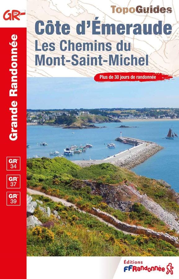
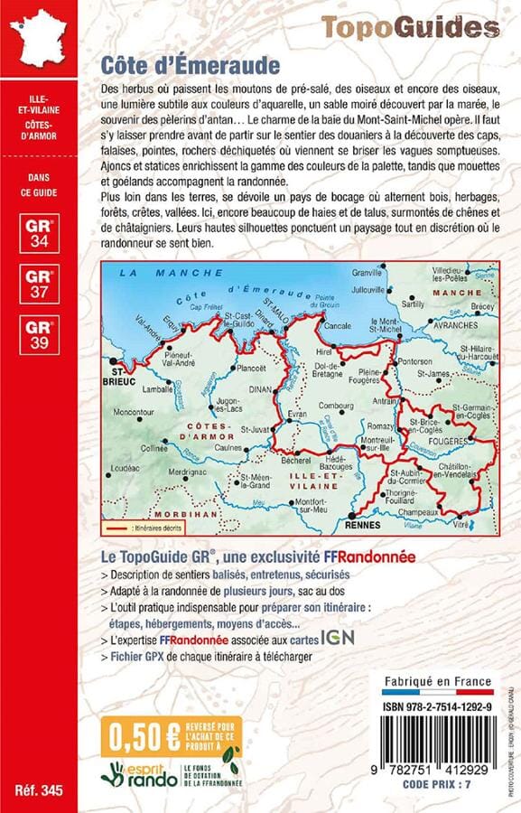
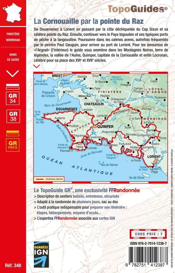
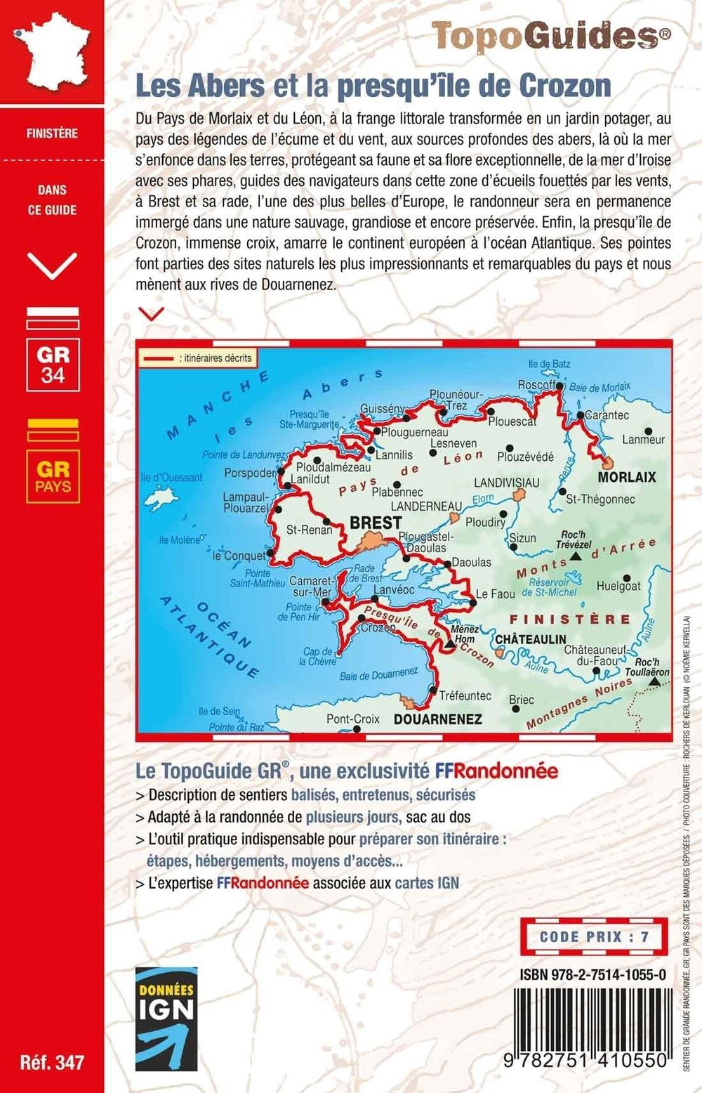
Detailed map - Customs Trail (South Brittany) - GR34 | IGN
Regular price
$11.00
Regular price
Sale price
$11.00
Save $-11
/
- Shipping within 24 working hours from our warehouse in France
- Delivery costs calculated instantly in the basket
- Free returns (*)
- Real-time inventory
- In stock, ready to ship
Related geographic locations and collections: Finistère (department 29), GR34 - Tour of Brittain, Morbihan (department 56)