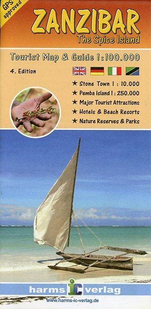
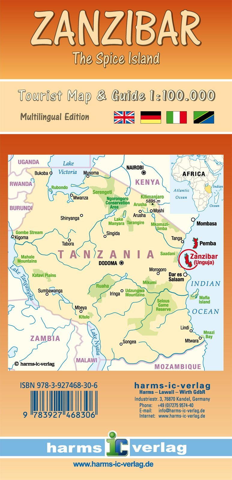
Road map of the Zanzibar archipelago published by Harms Verlag. Relief mapping, indication of national parks and reserves. Distances indicated on the main axes. The map was created in collaboration with the Tanzanian authorities and the Sea Science Institute at Dar Es Salaam.
The back of the map provides useful information on tourism in three languages (German, English and Italian) and provides information on geography, climate, history and tourist sites, among others. Impressive color photos make you want to leave for your own discovery trip.
This map contains a map of the 1/250,000 scale of Pemba, a 1/10,000 Stone Town map, the historic center of the capital and a map of synthesis of the region. Many icons refer to attractions, hotels and seaside resorts. All roads, slopes and interesting tourist maps have been recorded with GPS.
Legend in English, German, Italian, Kisuaheli.
ISBN/EAN : 9783927468306
Publication date: 2018
Scale: 1/100,000 (1cm=1km)
Printed sides: both sides
Folded dimensions: 11 x 22.5cm
Unfolded dimensions: 60.5 x 90cm
Language(s): German English
Weight:
123 g


