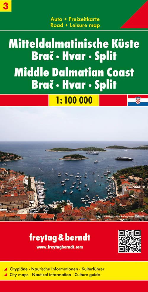
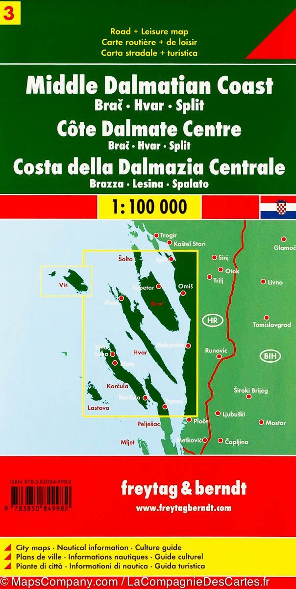
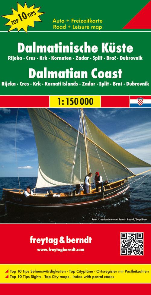
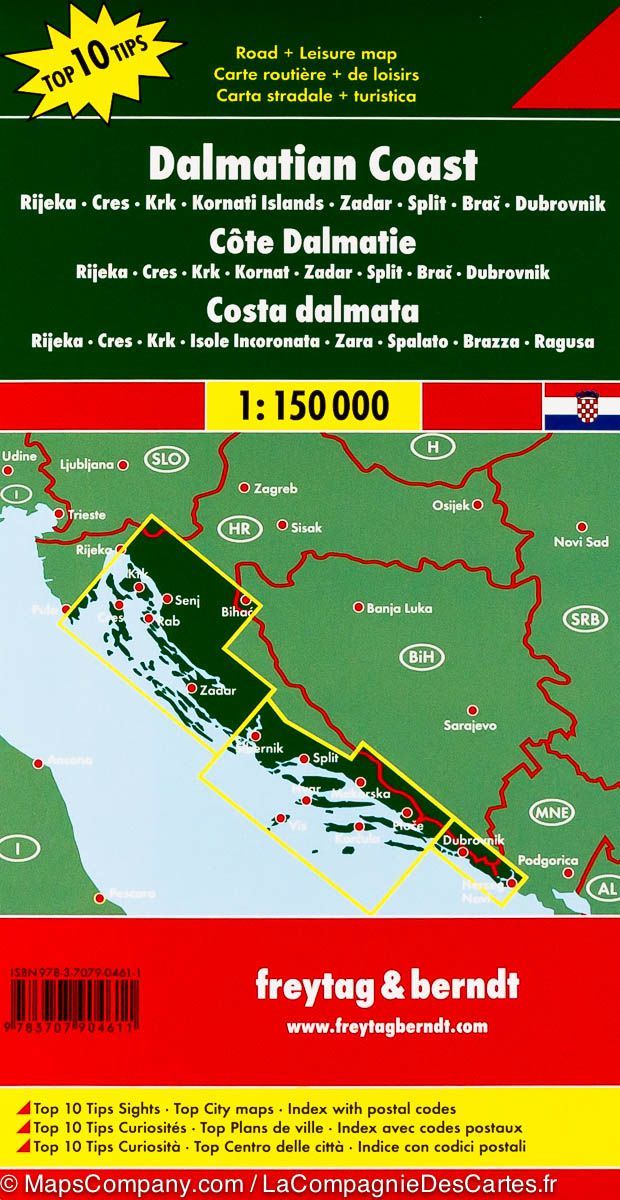
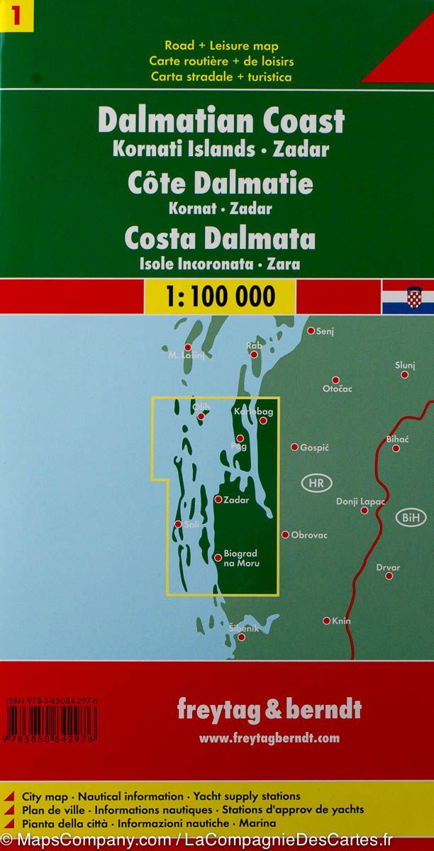
Road map of the coast de la Dalmatia (Croatia) edited by freytag & amp Berndt. This detailed map of Dalmatia extends from Split (north) to Ploce (south) and includes the region of TRPANJ and the Brac Islands, Hvar, Korkula, Lastovo and Vis.
Split plan, tourist and nautical information (points of interest, outdoor activities, campsites ...), Maritime links to the islands, plus cities index included. Multilingual legend.
ISBN/EAN : 9783850849982
Publication date: 2014
Scale: 1/100,000 (1cm=1km)
Printed sides: front
Folded dimensions: 25.6 x 13 x 0.8cm
Unfolded dimensions: 115 x 72cm
Language(s): multilingual including French
Weight:
111 g