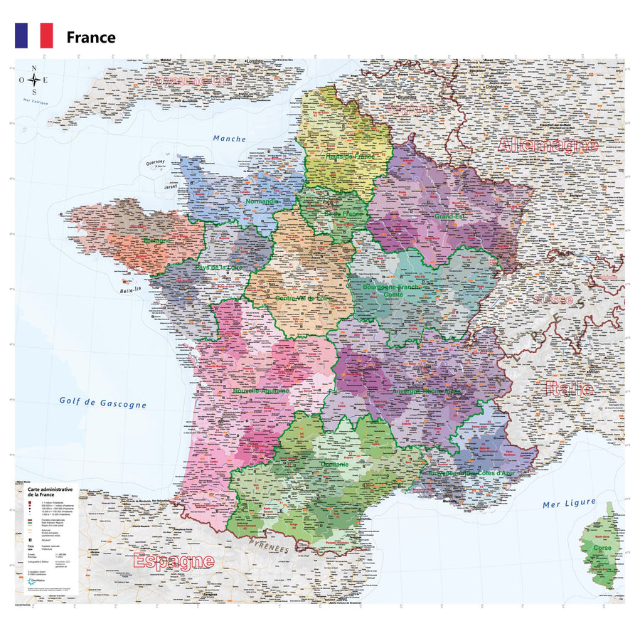
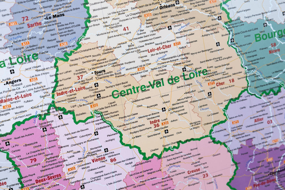
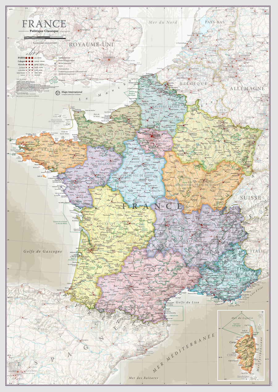
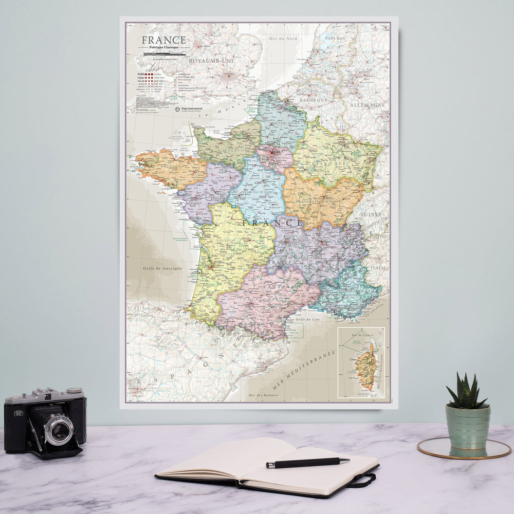
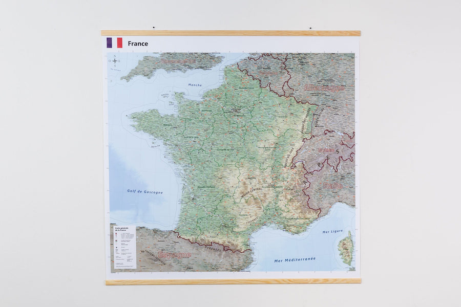
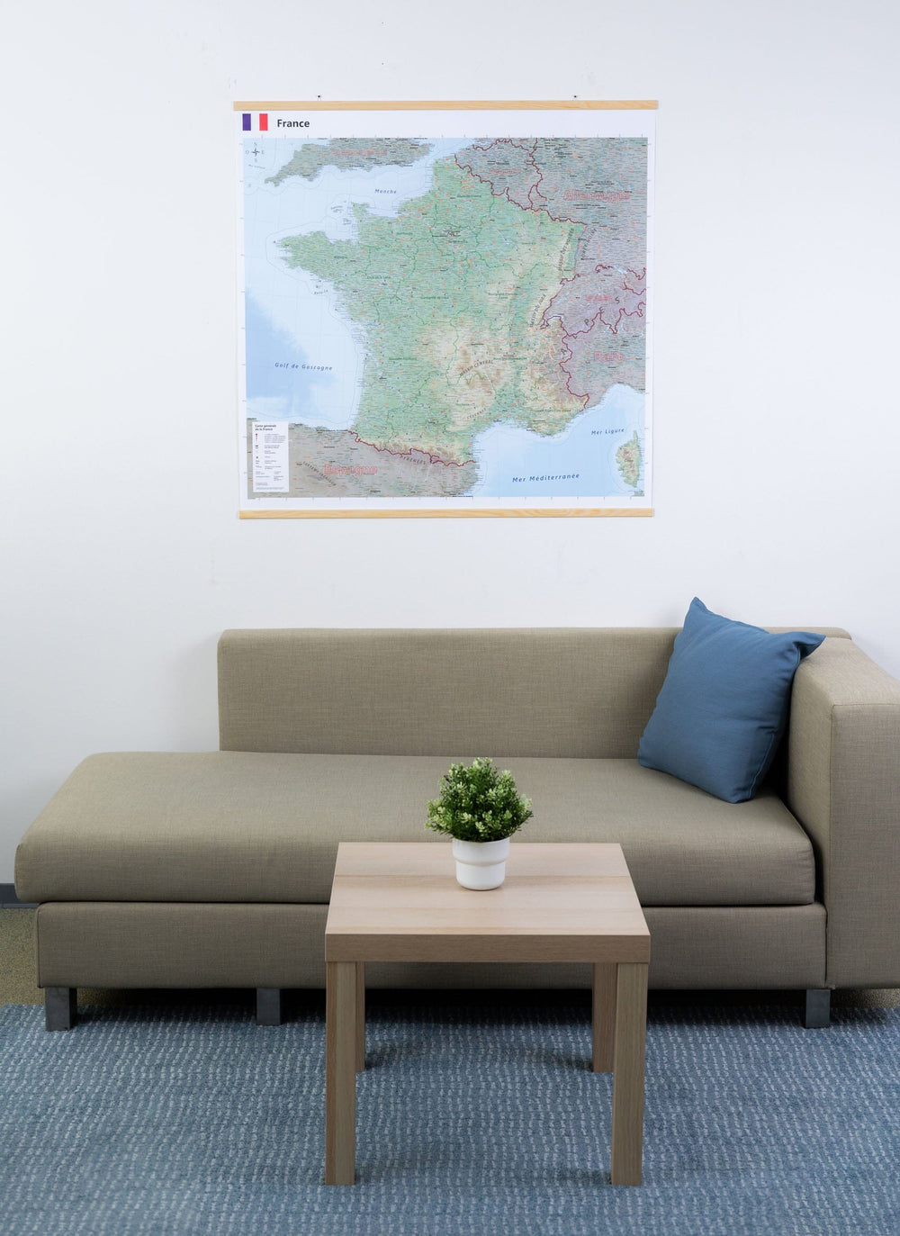
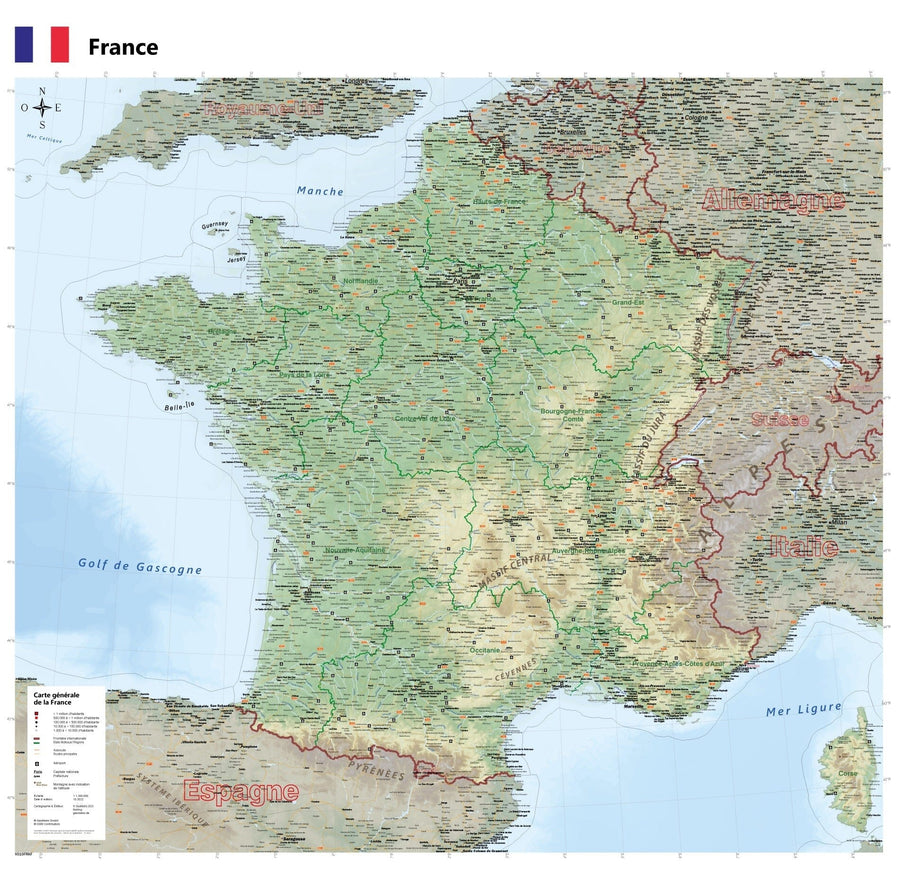
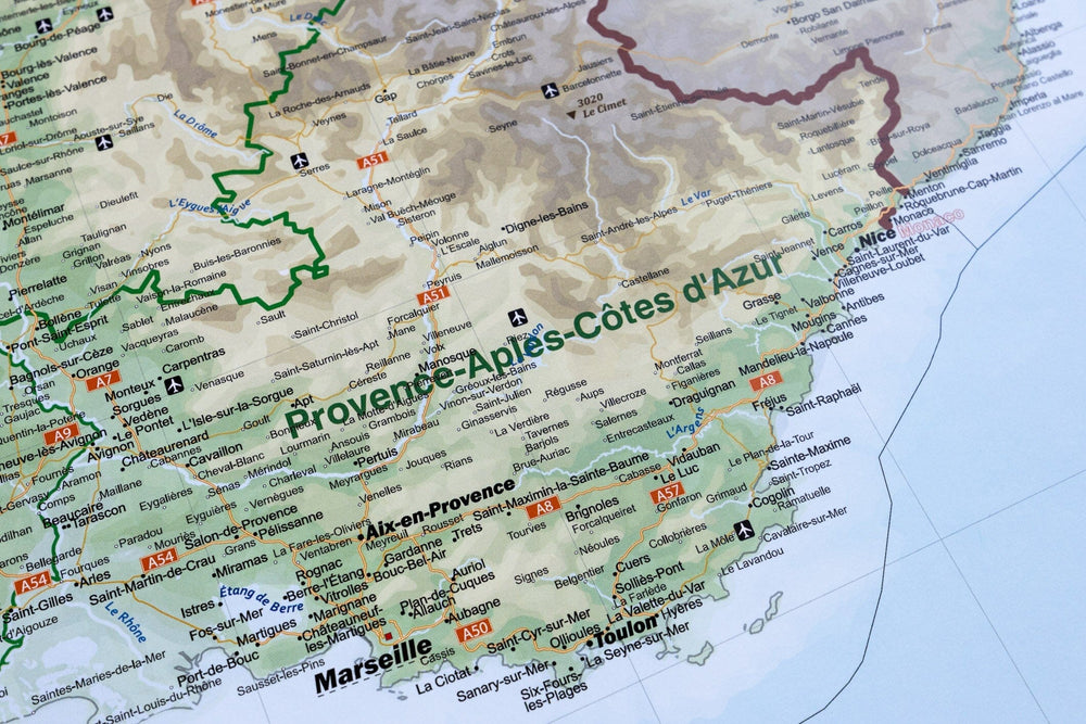
This is a laminated poster version of the map of western Ile - de - France .
Note that this map is laminated on demand, based on the original map which is folded. The folds remain a little visible.
The map is delivered rolled in a cardboard tube.
An additional period of a few days is necessary for the manufacture of the map.
As this product is custom made at the request of our customers, it cannot be returned to us.
Road map of the western departments of Ile de France which includes the free and toll motorway network, main and secondary roads, an index of towns and administrative boundaries.
Scale 1 / 150,000 (1 cm = 1.5 km).
ISBN / EAN : 9782758544517P
Date de publication : 2018
Echelle : 1/150,000 (1cm=1.5km)
Impression: front
Langue : French, English, German
Poids :
300 g


