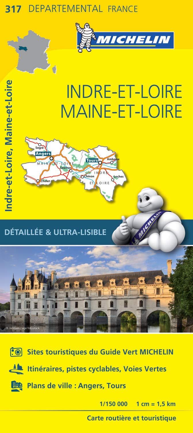
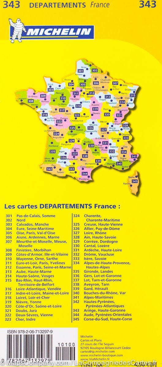
Road map of the Indre-et-Loire department which includes the free and toll motorway network, main and secondary roads, an index of towns and administrative boundaries.
Scale 1/150,000 (1 cm = 1.5 km).
ISBN/EAN : 9782758544265
Publication date: 2018
Scale: 1/150,000 (1 cm = 1.5 km)
Printed sides: front
Folded dimensions: 11 x 25cm
Language(s): French, English, German
Weight:
80 g


