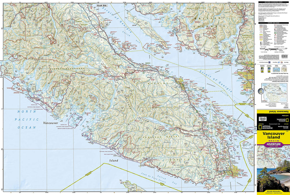
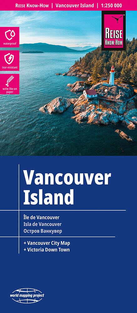
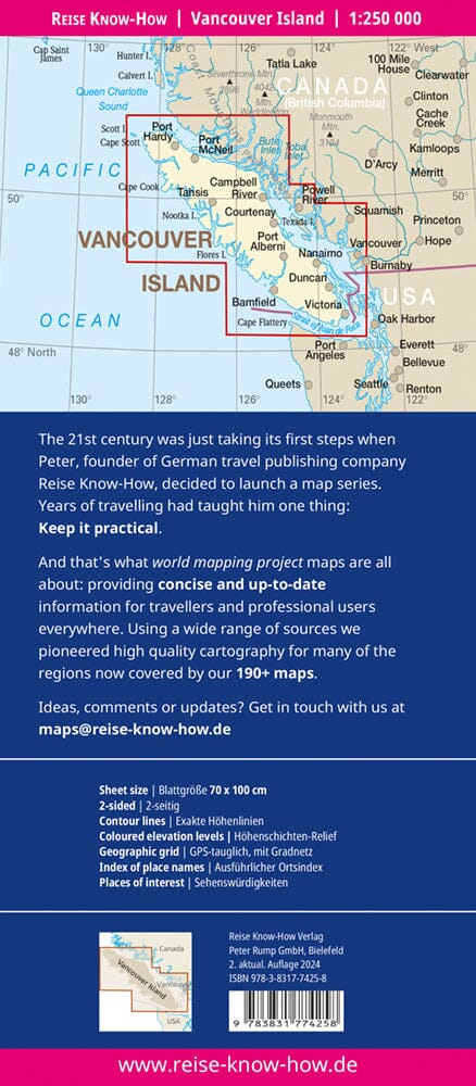
The front of the map focuses on the immediate vicinity of Tofino, Seven - Mile Beach and Kennedy Lake. The back covers the southern half of the large island, Victoria north in Courtenay, and includes the Broken Islands region off the west coast, the West Coast Hiking Trail , Cathedral Grove Old Growth Forest , The Golf Islands EET All ferry links with Vancouver and the various islands, as well as all forest roads that are the main way to explore the interior of the beautiful Vancouver Island.
Legend includes: roads by classification, rivers and lakes, national park, airports, points of interest, highways, main roads, zoos, fishing etc.
ISBN/EAN : 9781771298001
Publication date: 2020
Scale: 1/47,000 (1 cm = 470 m) & 1/200,000 (1 cm = 2 km)
Printed sides: both sides
Folded dimensions: 24.6 x 10.3 x 0.5cm
Unfolded dimensions: 68x100cm
Language(s): English
Weight:
60 g


