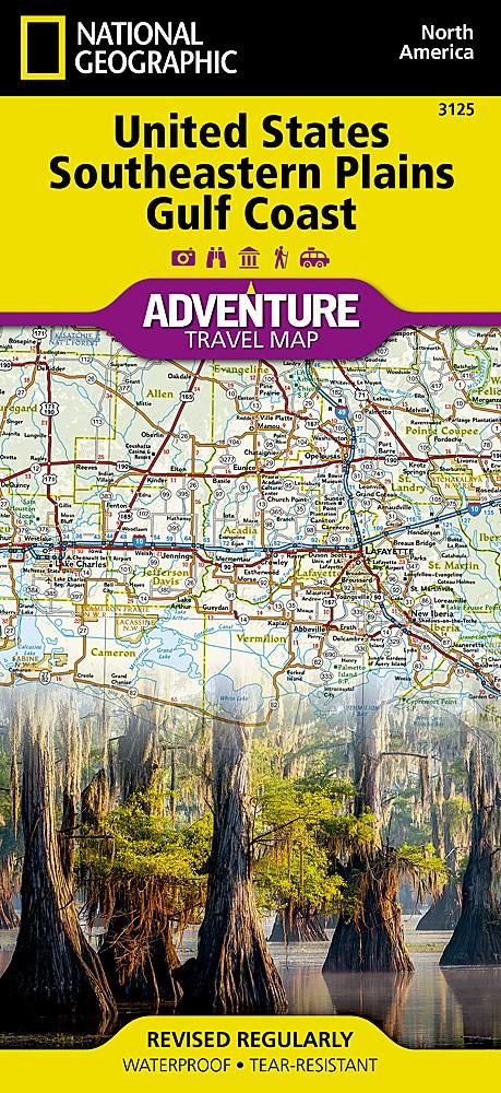
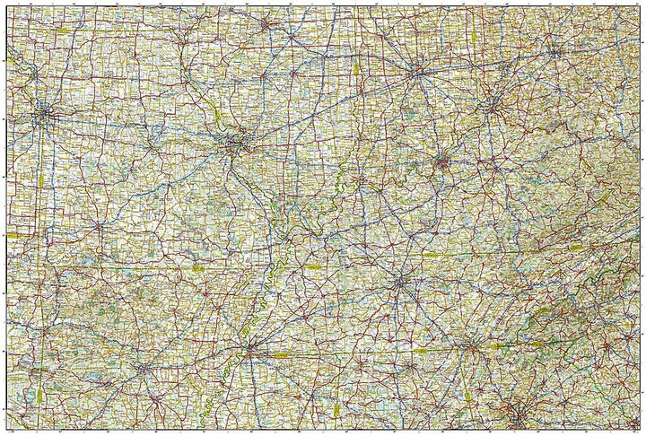
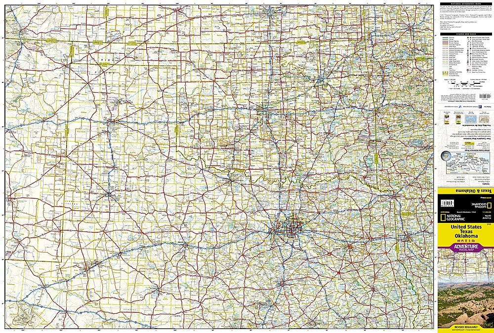
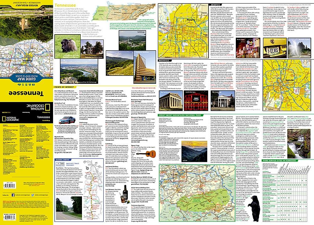
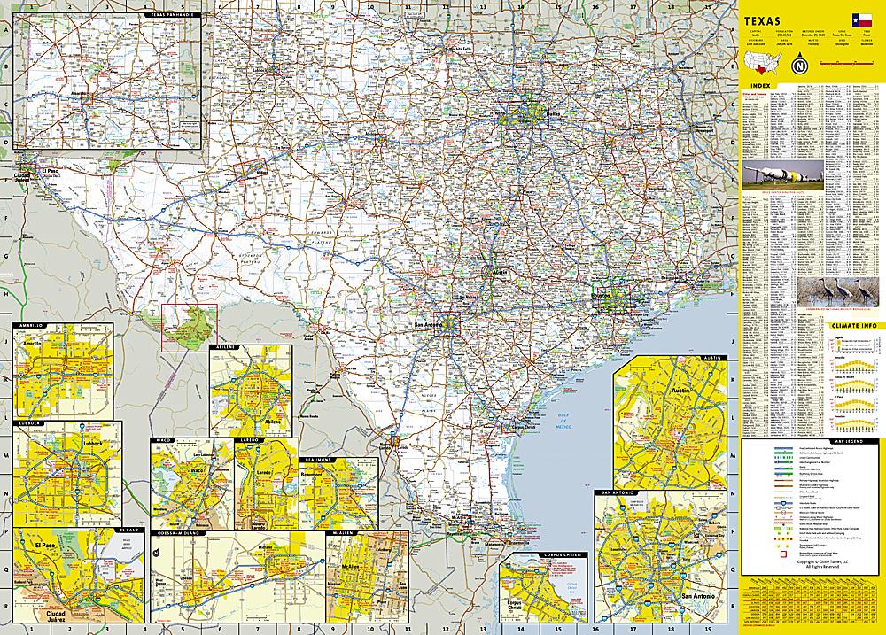
South - East Plains Tourist map of the Gulf Coast of Mexico (USA) published by National Geographic.
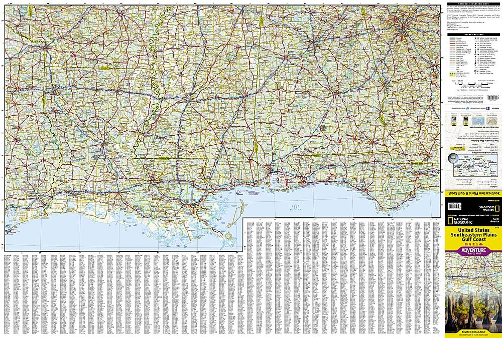
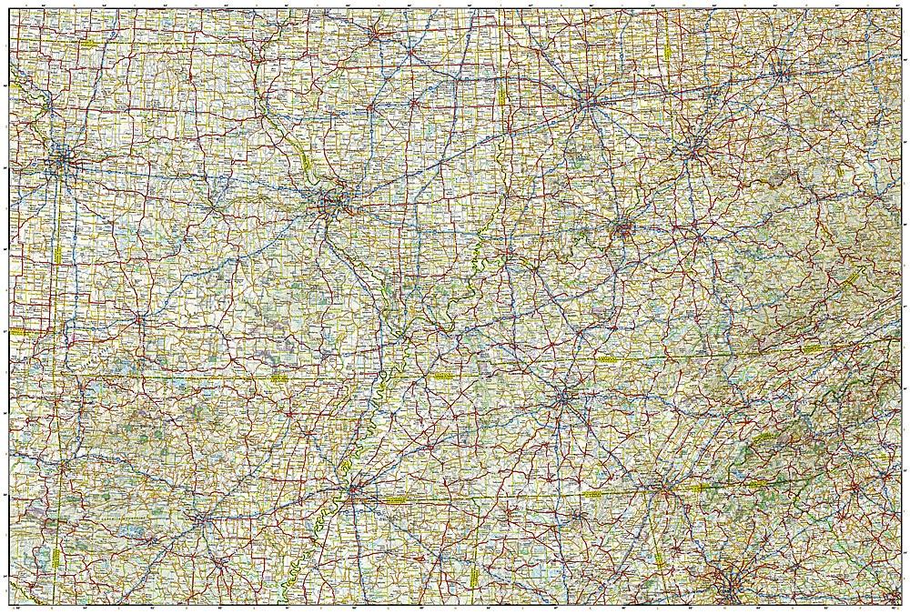
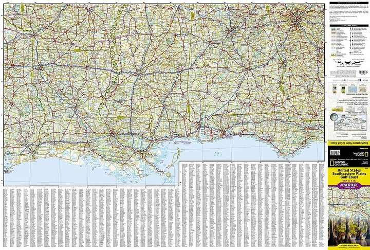
This map of the Plains of the South East and the Gulf Coast will guide you through the southern Basin of the Mississippi River, the states of the Midwest of Illinois and Indiana, through the Missouri, the Kentucky, Tennessee, Arkansas to the states of the Gulf coast of Louisiana, Mississippi, Alabama and Florida. The names of the cities of this region of the country are reminiscent of the classics of jazz, blues and country music, born in rivers, fields, fields and farms in this scenic region. The map includes the cities of Indianapolis, Nashville, St. Louis, Memphis, Tallahassee, Panama City and New Orleans. Indication of roads, protected areas (national park, reserves ...), tourist attractions and a cities index.
Detailed waterproof and tearing resistant.
Scale 1/100,000 (1 cm = 13 km).
ISBN/EAN : 9781566957199
Publication date: 2017
Scale: 1 / 1,300,000 (1cm = 13km)
Printed sides: both sides
Folded dimensions: 23.5 x 10.7 x 0.8cm
Unfolded dimensions: 95x65cm
Language(s): English
Weight:
89 g


