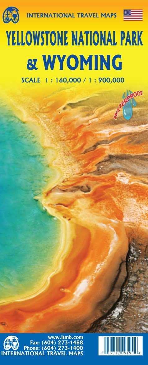
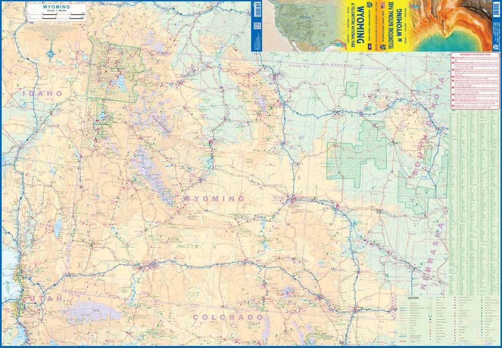
This map covers with a detailed travel map on one side, including small parts of the adjacent states of the Utah, Colorado, Nebraska, South Dakota, Montana and Idaho.
Yellowstone National Park occupies the northwestern corner of the state and also occupies the back of the map. The map also includes most of the Adjacent National Park of Grand Teton.
The legend includes:
roads by classification, rivers and lakes, national park, airports, points of interest, mining, highways, main roads, zoos, fishing, etc.
Our opinion: This map is perfect for this major national park.
ISBN/EAN : 9781771299190
Publication date: 2020
Scale: 1/60,000 (1 cm = 600 m) & 1/900,000 (1 cm = 9 km)
Printed sides: both sides
Folded dimensions: 24.6 x 10.3 x 0.5cm
Unfolded dimensions: 68x100cm
Language(s): English
Weight:
60 g


![Yellowstone National Park Map & Day Hikes [Map Pack Bundle] | National Geographic carte pliée](http://mapscompany.com/cdn/shop/products/yellowstone-national-park-map-day-hikes-map-pack-bundle-national-geographic-carte-pliee-national-geographic-203104.jpg?v=1694452529&width=900)

