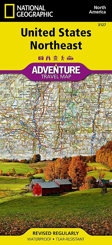
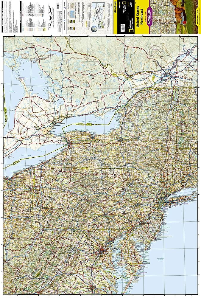
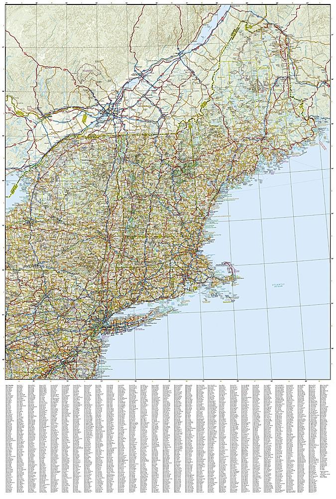
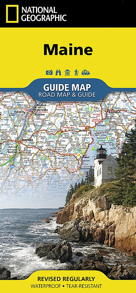
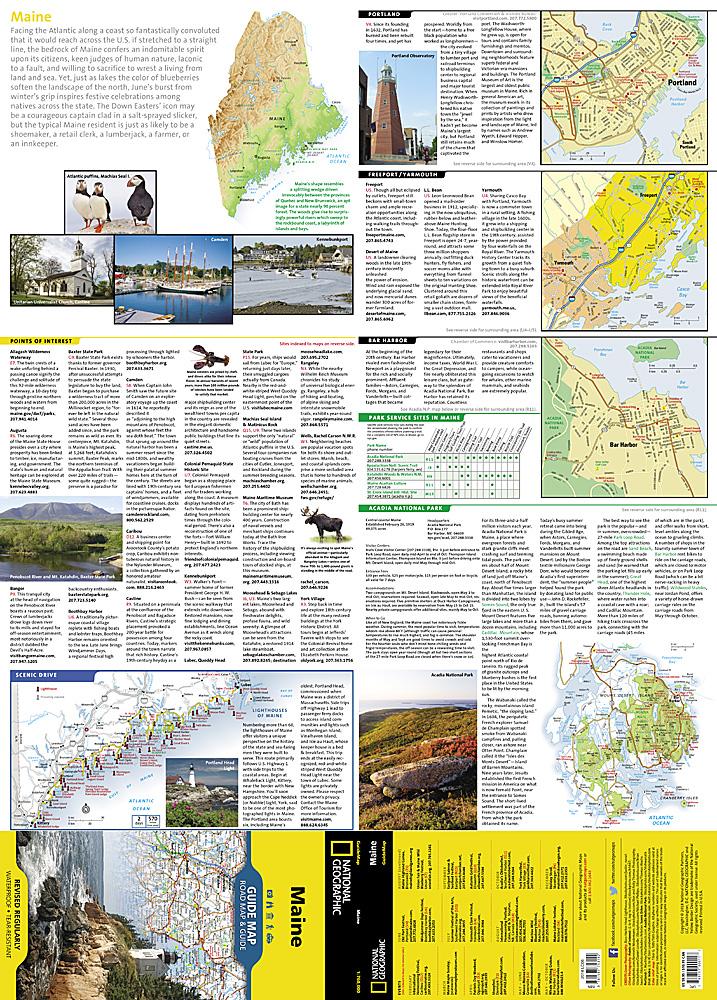
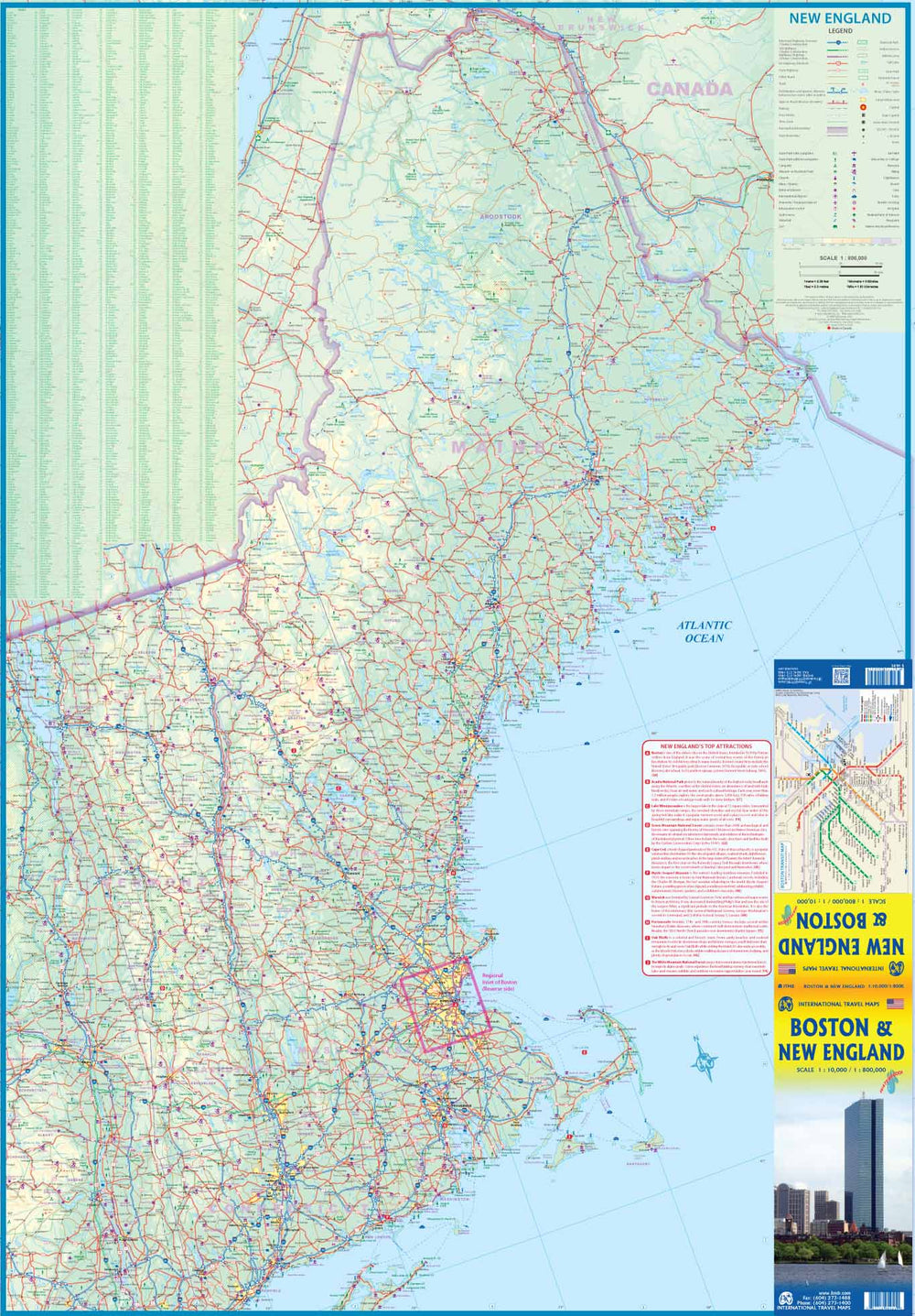
Tourist map of Northeastern United States published by National Geographic. This map of Northeastern United States will guide you in the states of the Average Atlantic Region (Virginia, West, Maryland, Delaware and Pennsylvania, New York and New Jersey) and New England (Connecticut, Rhode Island, Massachusetts, Vermont, New Hampshire, and Maine). Each of these states is rich in history and in kind and has its own distinct character, from the dramatic rocky coast of the National Park of Acadia of Maine and the beaches and dunes of Cape Cod (Massachusetts), through the Adirondack Mountains (New York), the White and Green Mountains (New Hampshire and Vermont), and the Allegheny Mountains and Pocono (Pennsylvania).
This map includes the megalopolis of Washington DC, Philadelphia, New York and Boston, the Atlantic Coast Plain interspersed with historical maritime ports and beautiful parks, beaches, swamps and berries, including bays of Chesapeake and Delaware. The interior cities of Pittsburgh, Syracuse and Albany are also included on this map.
Roads, Protected Areas (National Park, Reserves ...), tourist attractions and a cities index.
Detailed map waterproof and tearing resistant.
Scale 1/100,000 (1 cm = 13 km).
ISBN/EAN : 9781566957212
Publication date: 2022
Scale: 1 / 1,300,000 (1cm = 13km)
Printed sides: both sides
Folded dimensions: 23.5 x 10.7 x 0.8cm
Unfolded dimensions: 95x65cm
Language(s): English
Weight:
89 g


