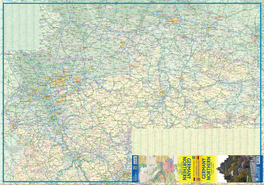
ISBN/EAN : 9781771293105
Publication date: 2016
Scale: 1/425,000 (1 cm = 4.25 km)
Printed sides: both sides
Folded dimensions: 24.6 x 10.3 x 0.5cm
Unfolded dimensions: 132 x 100cm
Language(s): English
Weight:
52 g
Over 19,000 maps and travel guides, hiking maps, posters, globes, and decor in stock!
Over 19,000 maps and travel guides, hiking maps, posters, globes, and decor in stock!
🧭 Soon: Cartovia ✨ Read the full story here 🗺️
🧭 This September, La Compagnie des Cartes becomes Cartovia ✨ Read the full story here 🗺️
Free delivery for all orders > €50 (folded maps and guides, France)
Free delivery for all orders > €50 (folded maps and guides, France)
-
Travel maps
-
Hiking
-
Wall maps
-
-
Travel accessories
-
-
Your cart is currently empty.
The exclusive newsletter for travel and discovery enthusiasts!
We accept
© 2025
La Compagnie des Cartes - Le voyage et la randonnée
/ Cartovia / MapsCompany
General terms and conditions of salePrivacyRequest for access to personal data


