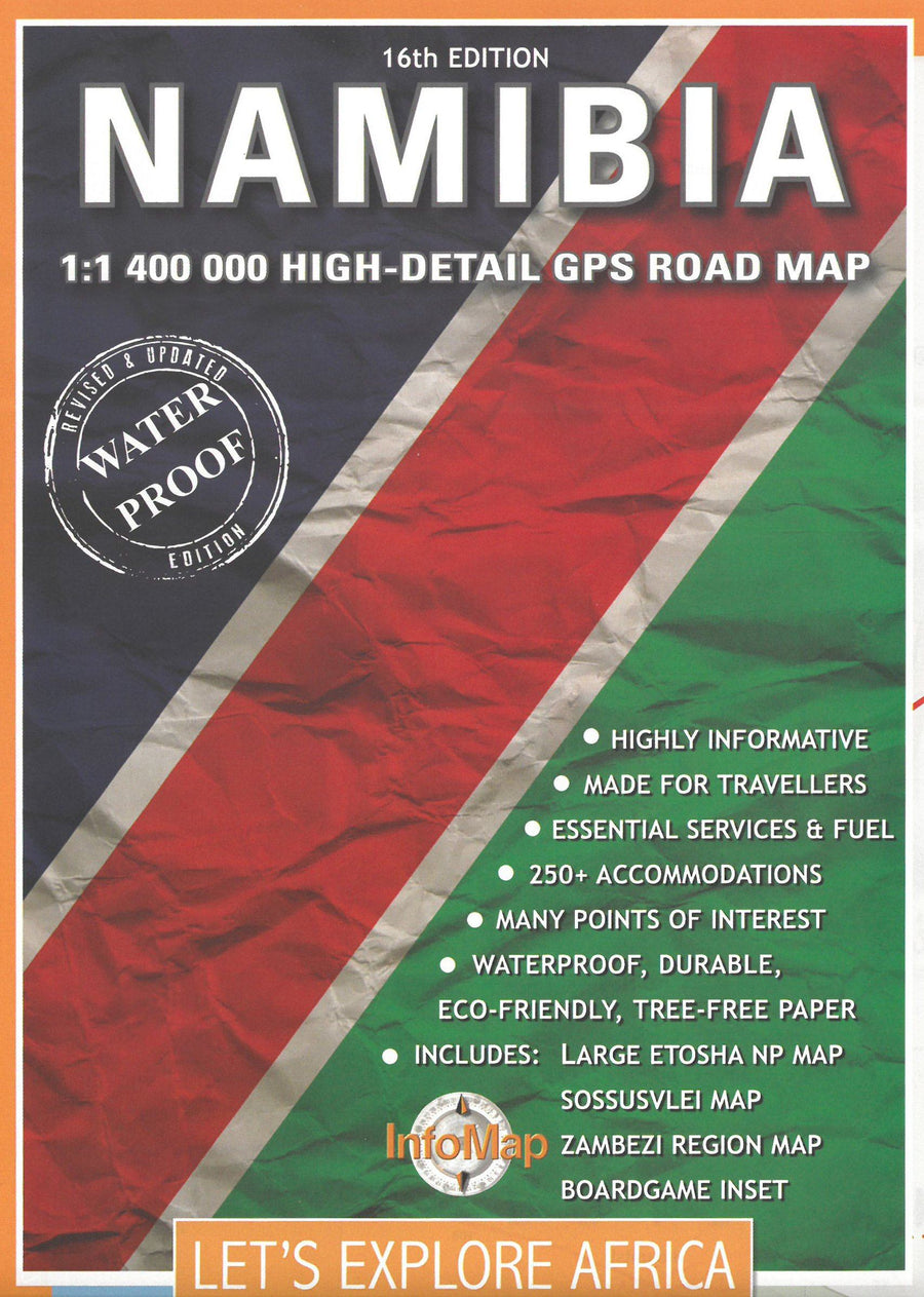
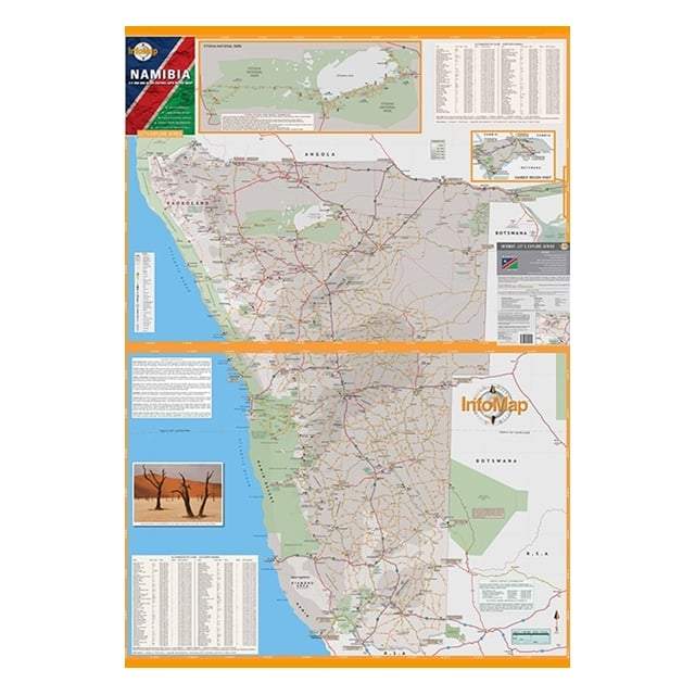
The modifications include the addition of a large detailed entry from Etosha National Park - the most visited tourist attraction of Namibia. The inset lists roads, water points, housing, points of view, picnic sites, gates, GPS and services in the Eastern Etosha region and also in the recently opened Western region. < BR> More details have been added to other areas such as Khaudum National Park. More information from Sossusvlei and northern Naukluft regions have also been included. These details also include useful comments on the road conditions, access permits, good sites for bird watching and other useful information.
These additions, as well as more GPS points, aim to improve the overall ease of use of the map.
A new feature on the map is the list of services. These include shops, banks, garages and hospitals.
The map now includes more than 250 living rooms, sorted by type and price per night. They are located on the map, with the Details and GPS coordinates listed in two info - blocks.
This map aims to fill the gap in a large car tourism market in Namibia, such as a reliable, practical, informative and complete tool.
An important addition to this map is a free digital guide (PDF), that guests can download.
The map is sold in a laminated pocket.
This publisher publishes paper maps developed and studied for travelers in search of adventures, specifically travelers who drive in 4x4 or motorcycle, for those who ask for more than one road map than an ordinary motorist. Infomap maps are characterized by the combination of GPS information and geographical references.
ISBN/EAN : 9780620250115
Publication date: 2020
Scale: 1/1,400,000 (1cm=14km)
Printed sides: both sides
Folded dimensions: 15x21cm
Unfolded dimensions: 87cm x 63cm
Language(s): English
Weight:
85 g


