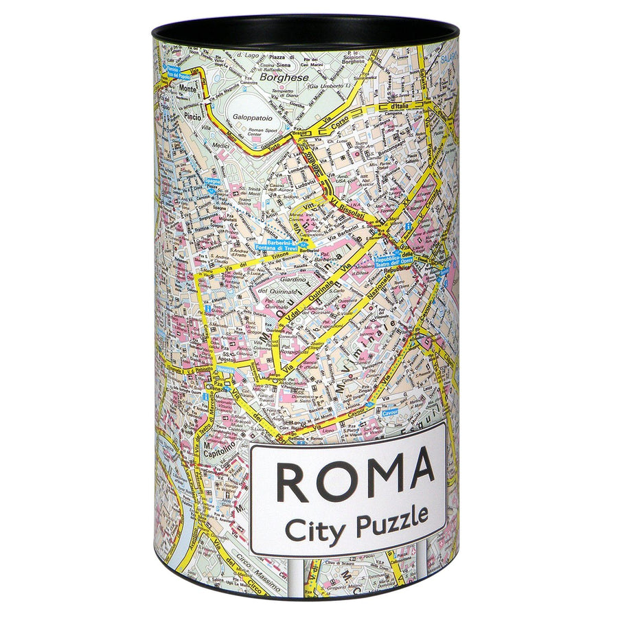
Rome Map & Central Italy Road Map – Waterproof Double Map.
This new edition of the Rome map comes with a comprehensive road map of southern Italy, including Sicily and Sardinia . A two-in-one tool, ideal for city travelers and road explorers alike.
🏛️ Side 1: Rome, far beyond the city center
This map offers extensive coverage of the city, much wider than most classic maps:
-
Using the Tiber as a north-south axis, the Vatican and modern districts are placed on the left, while the Roman ruins, shopping areas, the Colosseum and Termini Station are on the right.
-
The map extends to the northern ring road, including the former Olympic sites, and goes south to the Gianicolense hospital complex, an area rarely covered by competing plans.
-
It lists all major tourist attractions, as well as hotels, shopping areas, religious buildings, parks, squares, theaters, post offices, metro lines and stations .
🗺️ Side 2: Road map of central Italy
-
Designed as a real driving map, this side covers the whole of central Italy.
-
It highlights major tourist sites using symbols: castles, historic churches, typical villages, beaches, Greco-Roman remains, etc.
-
This approach aims to avoid the traveler having to purchase two separate maps – urban map and regional map .
ISBN/EAN : 9781771296731
Publication date: 2025
Scale: 1/535,000 (1 cm = 5.35 km) & 1/9,000 (1 cm = 90 m)
Printed sides: both sides
Folded dimensions: 24.6 x 10.3 x 0.5cm
Unfolded dimensions: 100 x 69cm
Language(s): English
Weight:
108 g


