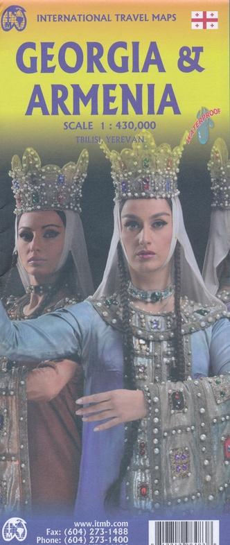
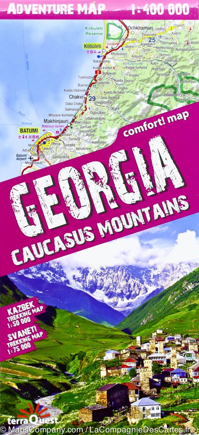
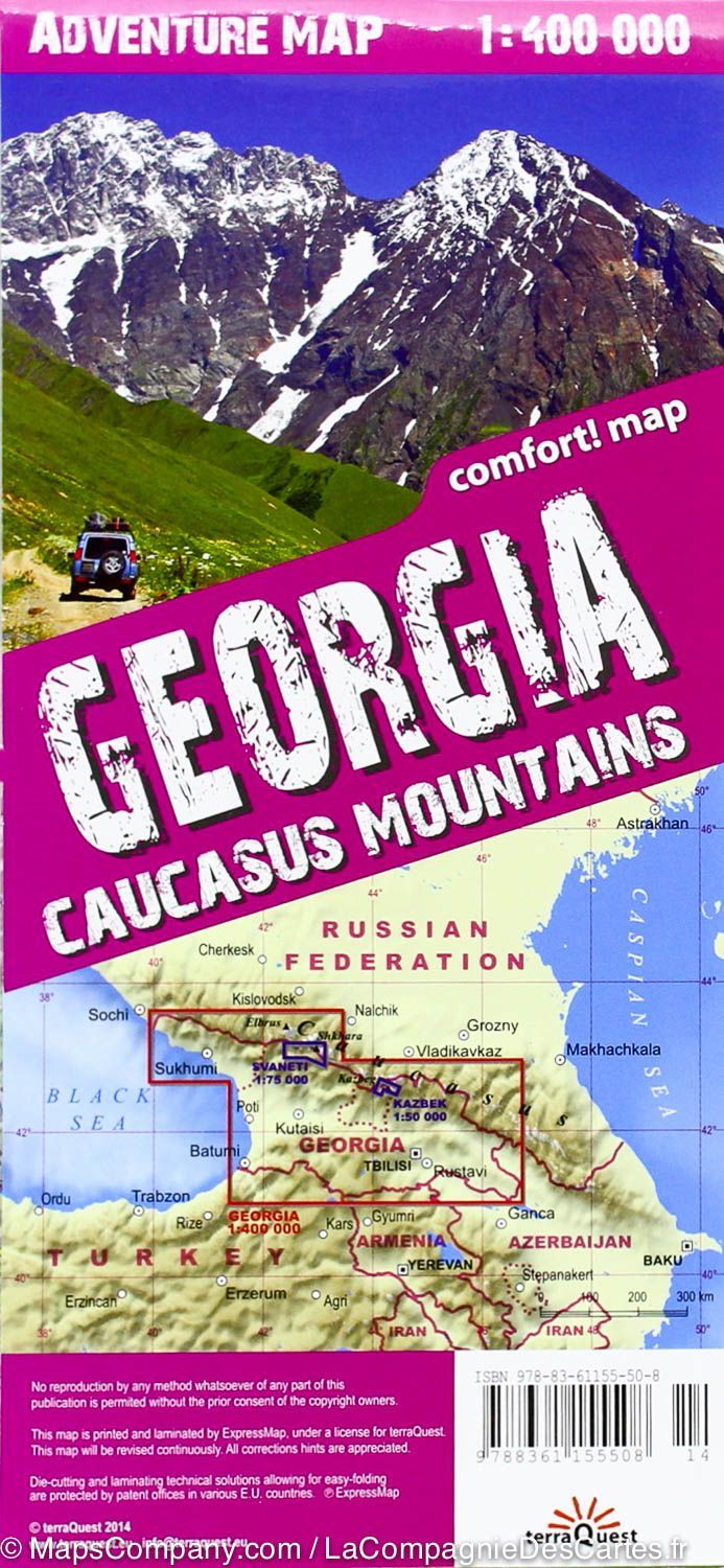
Georgia Road Map & Tbilisi City Map
Georgia, a country in the Caucasus (not to be confused with the American state), is a beautiful but threatened nation with a rich history. Bordered by the Black Sea to the west, Russia to the north, Azerbaijan to the east, and with an ill-defined border with Turkey , Georgia must be subtle in maintaining its independence. Only neighboring Armenia maintains relatively stable relations with it.
Historically, Georgia is a Christian stronghold dating back to the earliest days of Christianity, and its many churches are among its top tourist attractions.
Card contents :
-
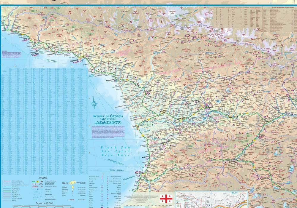
Accurate representation of Georgia with its expanding road network
-
Location of major churches , castles , tourist sites
-
Indication of areas of tension with Russia and Azerbaijan
Back of the card :
-
Detailed map of Tbilisi , the Georgian capital, for the first time on such a scale.
-
Sites of interest:
-
Narikala Fortress
-
Cathedral
-
Historic center
-
Pont Sec Market (now a flea market, formerly a black market during the Soviet era)
-
-
The city stretches along the Koura River , in a valley dominated by Mount Mtatsminda , accessible by two cable cars and now home to an amusement park.
-
The map also includes both Tbilisi metro lines , a convenient way to get around.
Map legend :
-
Roads according to their classification
-
Lakes and rivers
-
National Parks
-
Airports
-
Tourist sites
-
Motorways, main roads
-
Zoos, fishing areas
-
And much more…
ISBN/EAN : 9781771293297
Publication date: 2025
Scale: 1/600,000 (1 cm = 6 km) and 1/7,000
Printed sides: both sides
Folded dimensions: 24.6 x 10.3 x 0.5cm
Unfolded dimensions: 68x100cm
Language(s): English
Weight:
54 g


