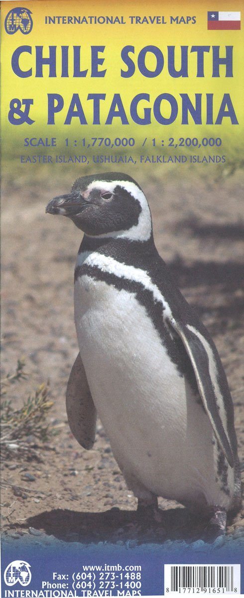
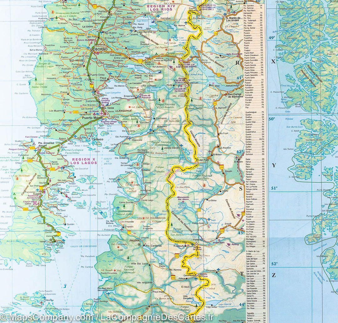
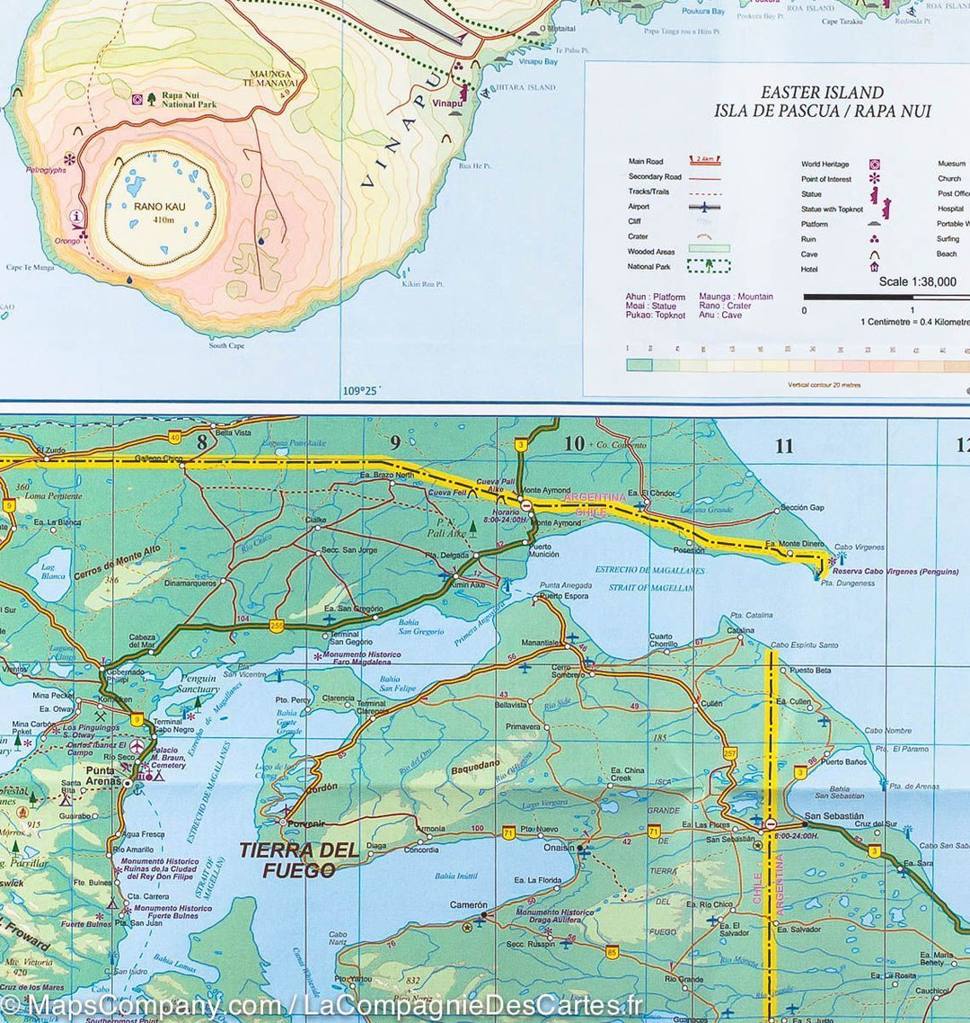
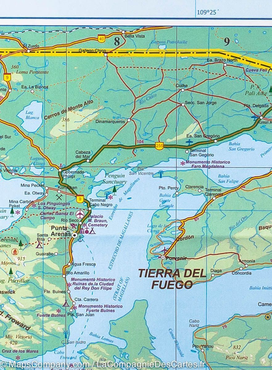
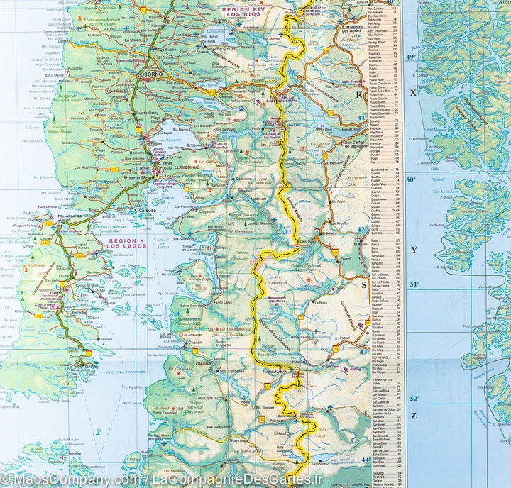
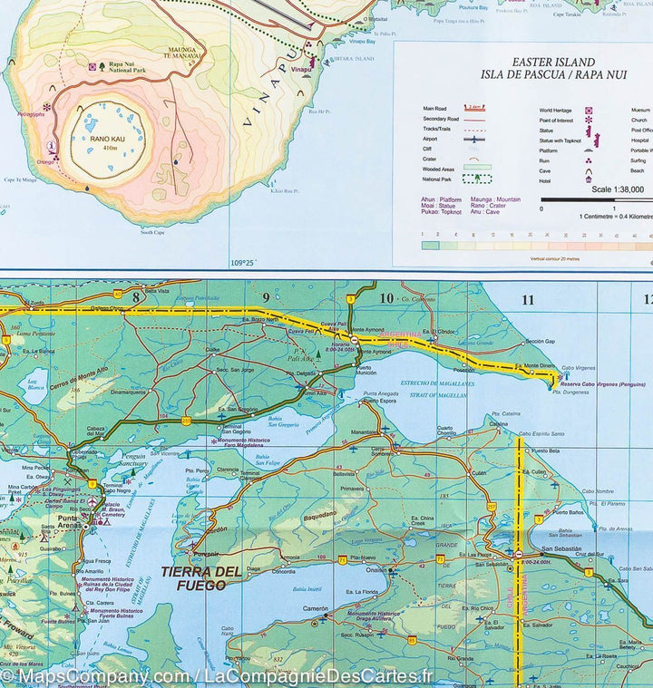
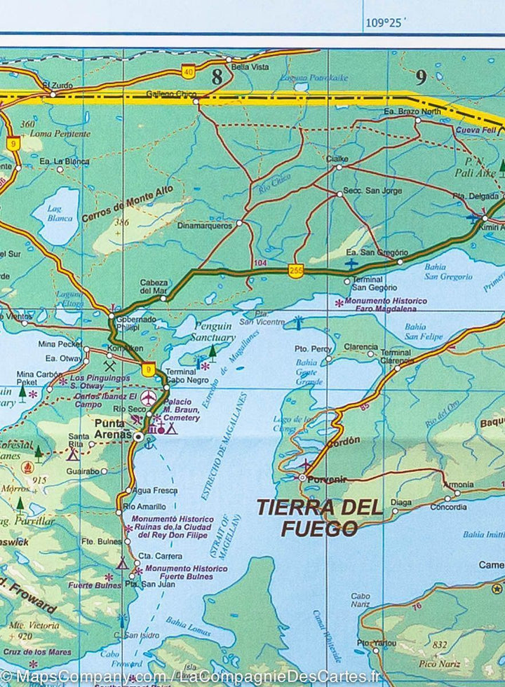
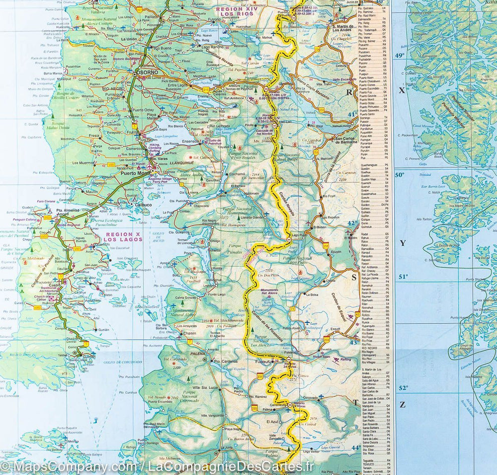
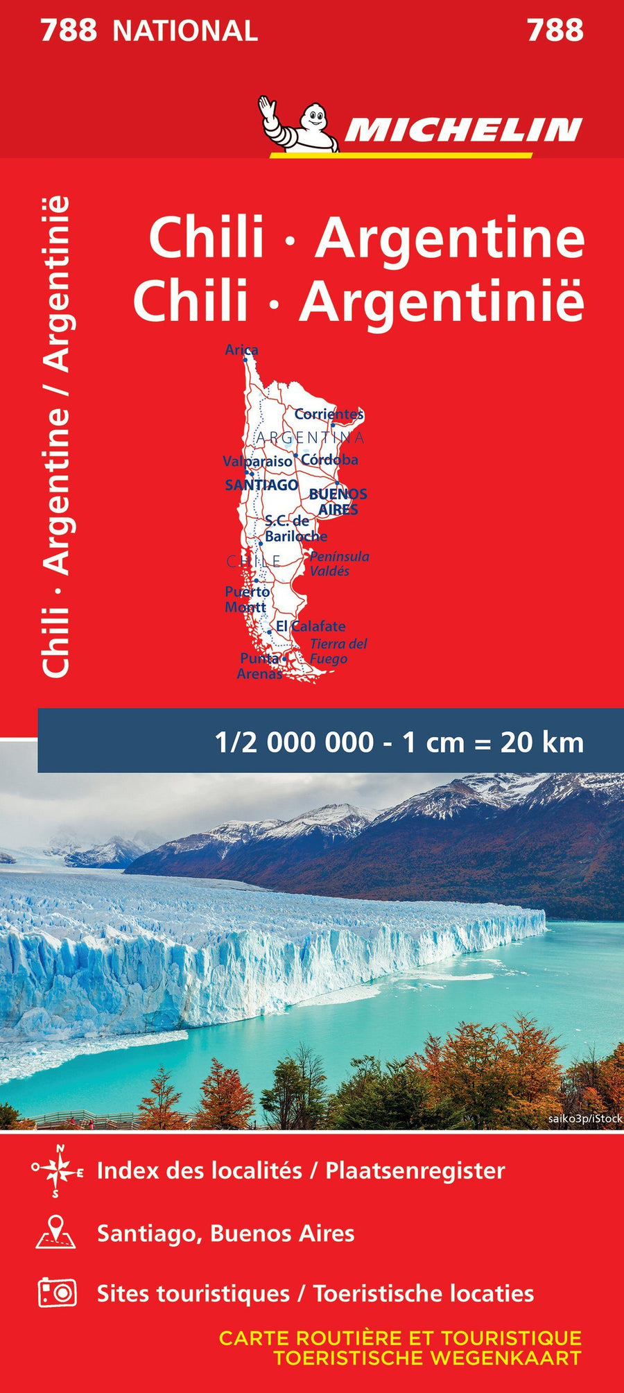
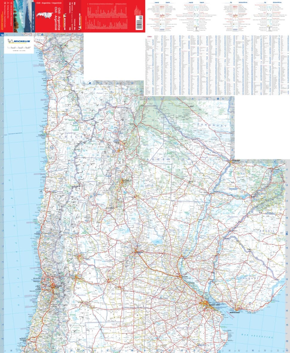
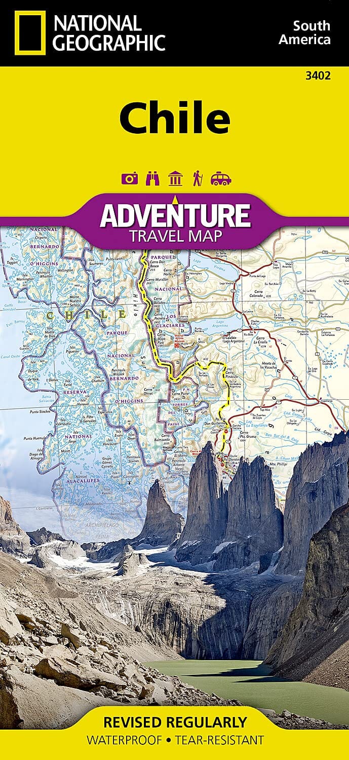
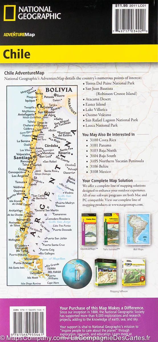
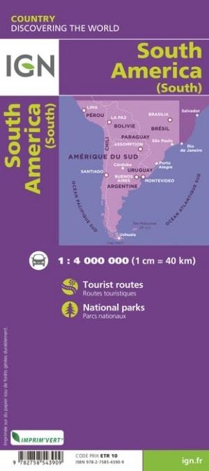
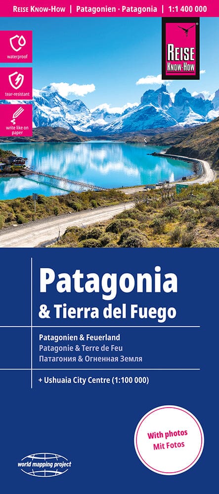
On the front, map of all Argentine and Chilean Patagonia, located south of a Temuco line (Chile) - bahia Blanca (Argentina). National parks and protected areas are highlighted. The map shows the road and rail networks, airports and local aerodromes, as well as ferry routes through Chilean fjords.
On the back, more detailed map of southern Chile (to Temuco north) and including the land of fire.
Distances indicated on the main axes. Index of cities included.
This road map also includes the plane of Ushuaia, a map of Easter Island and the Inset Malvino Islands.
ISBN/EAN : 9781771291651
Publication date: 2019
Scale: 1/1,770,000 (1 cm = 17.7 km) & 1/2,200,000 (1 cm = 22 km)
Printed sides: both sides
Folded dimensions: 24.6 x 10.3 x 0.5cm
Unfolded dimensions: 100 x 69cm
Language(s): English
Weight:
51 g


