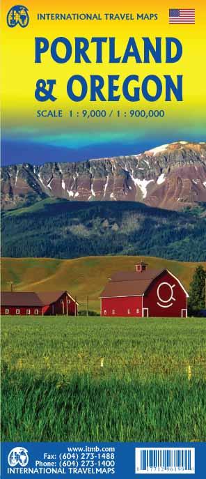
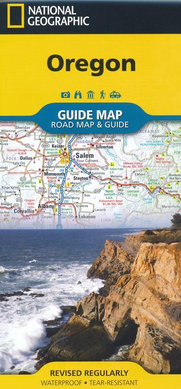
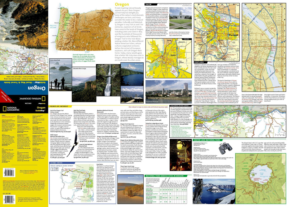
Plan of la Ville de Portland that goes from the Northwest Northwest Bridge Freemont to the North (I - 5 motorway) south of Ross Island, and Washington Park to the west at Chavez Boulevard in the East. It encompasses the whole heart of Portland and allows to show the rapid transit line, the Congress Center, the city center and all the bridges crossing the Willamette River.
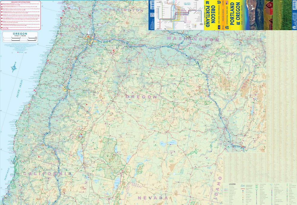
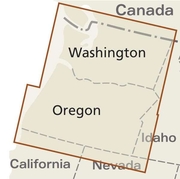
The back of the map shows the state of the Oregon with excellent details.
Scale 1: 9,000 and 1: 900,000.
ISBN/EAN : 9781771296199
Publication date: 2019
Scale: 1/9,000 & 1/900,000 (1 cm = 9 km)
Printed sides: both sides
Folded dimensions: 24.6 x 10.3 x 0.5cm
Unfolded dimensions: 100 x 69cm
Language(s): English
Weight:
52 g


