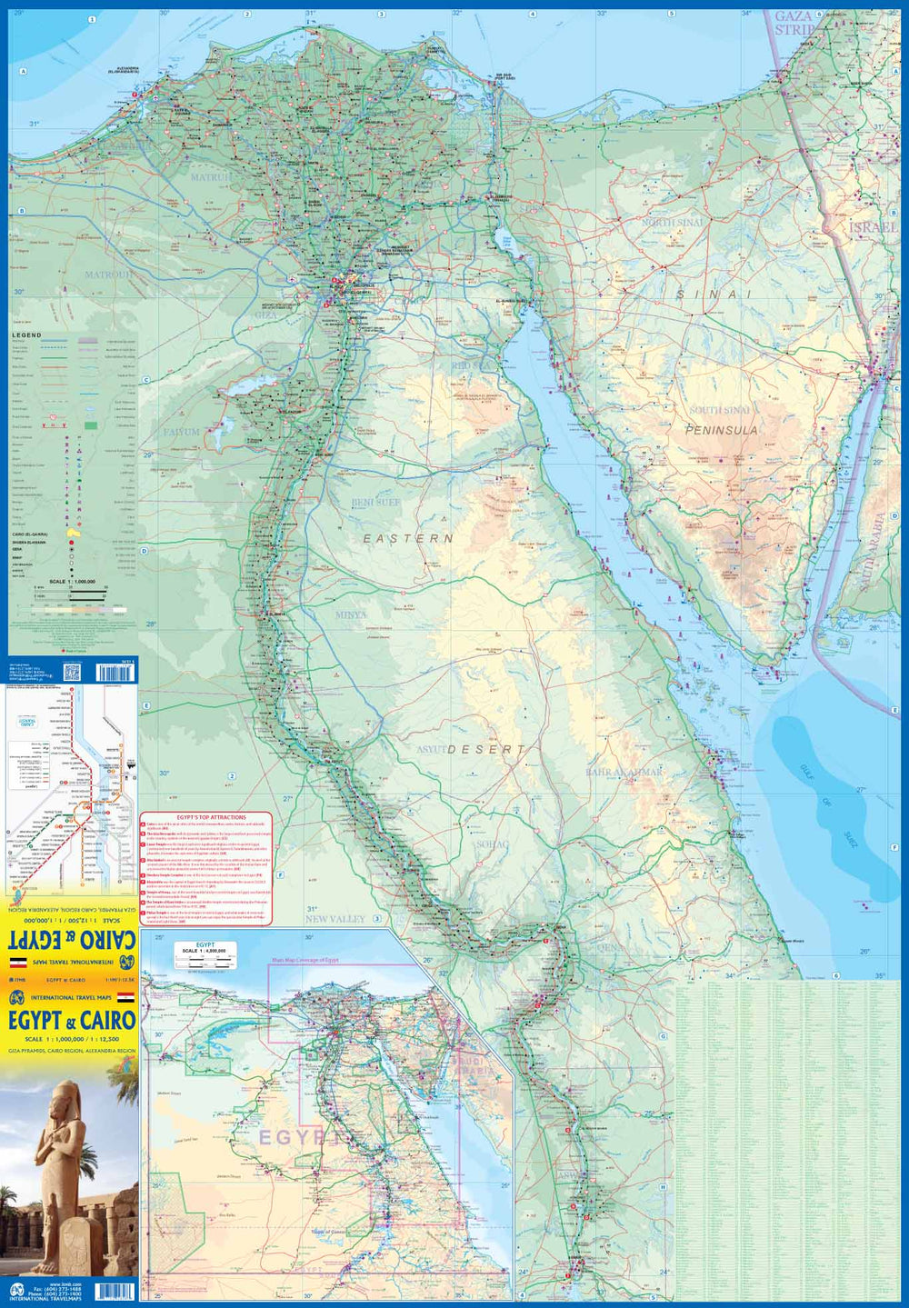
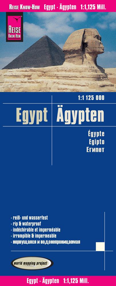
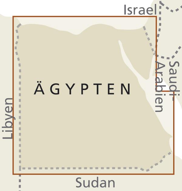
Large detailed plan of Cairo (scale 1/12,500) with a street index. The back of the map focuses on the parts of the country that have been reopened for tourism, which means the Mediterranean coast south of the Dam of Aswan. The more southern part remains closed for the moment, just like the passage from the border with Sudan. The publisher has also been forced to remove the great sea of sand and the portions of the Western desert for the same reason of agitation, because the border areas with Libya remain very unstable. However, a large map of Egypt is supplied in inset, covering everything, including the desert area.
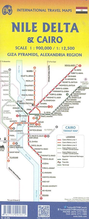
A metro plan is also present on the back of the cover.
This map is printed on waterproof and biodegradable paper.
The legend includes:
roads by classification, rivers and lakes, national park, airports, points of interest, mining, highways, main roads, zoos, fishing, and much more ...
ISBN/EAN : 9781771292658
Publication date: 2020
Scale: 1/12,500 (1cm=125m) & 1/1,000,000 (1cm=10km)
Printed sides: both sides
Folded dimensions: 24.6 x 10.3 x 0.5cm
Unfolded dimensions: 100 x 69cm
Language(s): English
Weight:
52 g


