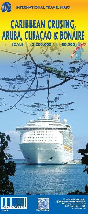
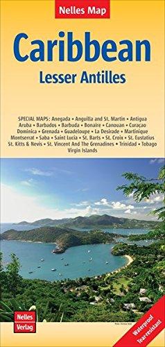
Double-sided waterproof map covering the Netherlands Antilles islands of Aruba, Bonaire, and Curaçao, popular Caribbean resort destinations with pristine beaches and interesting colonial architecture.
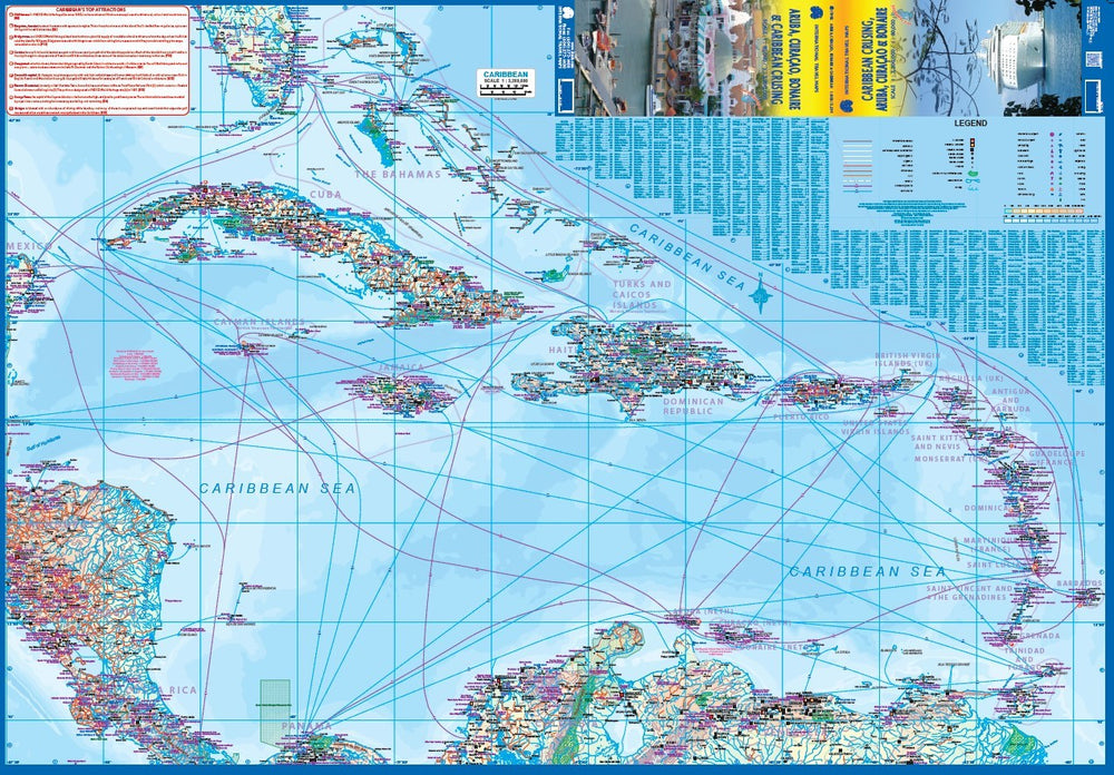
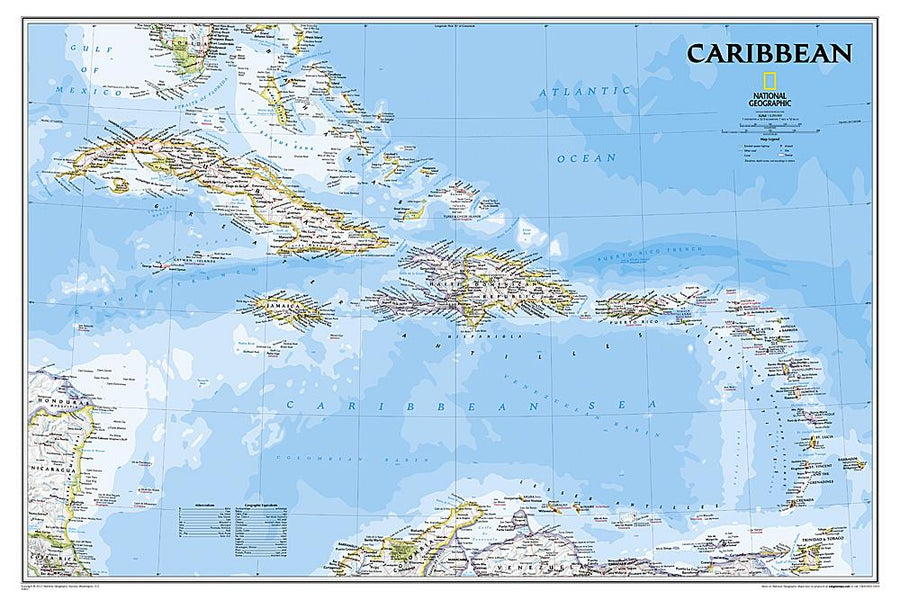
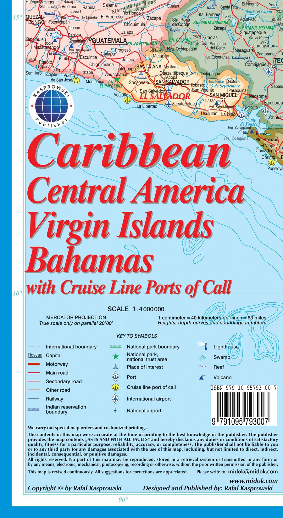
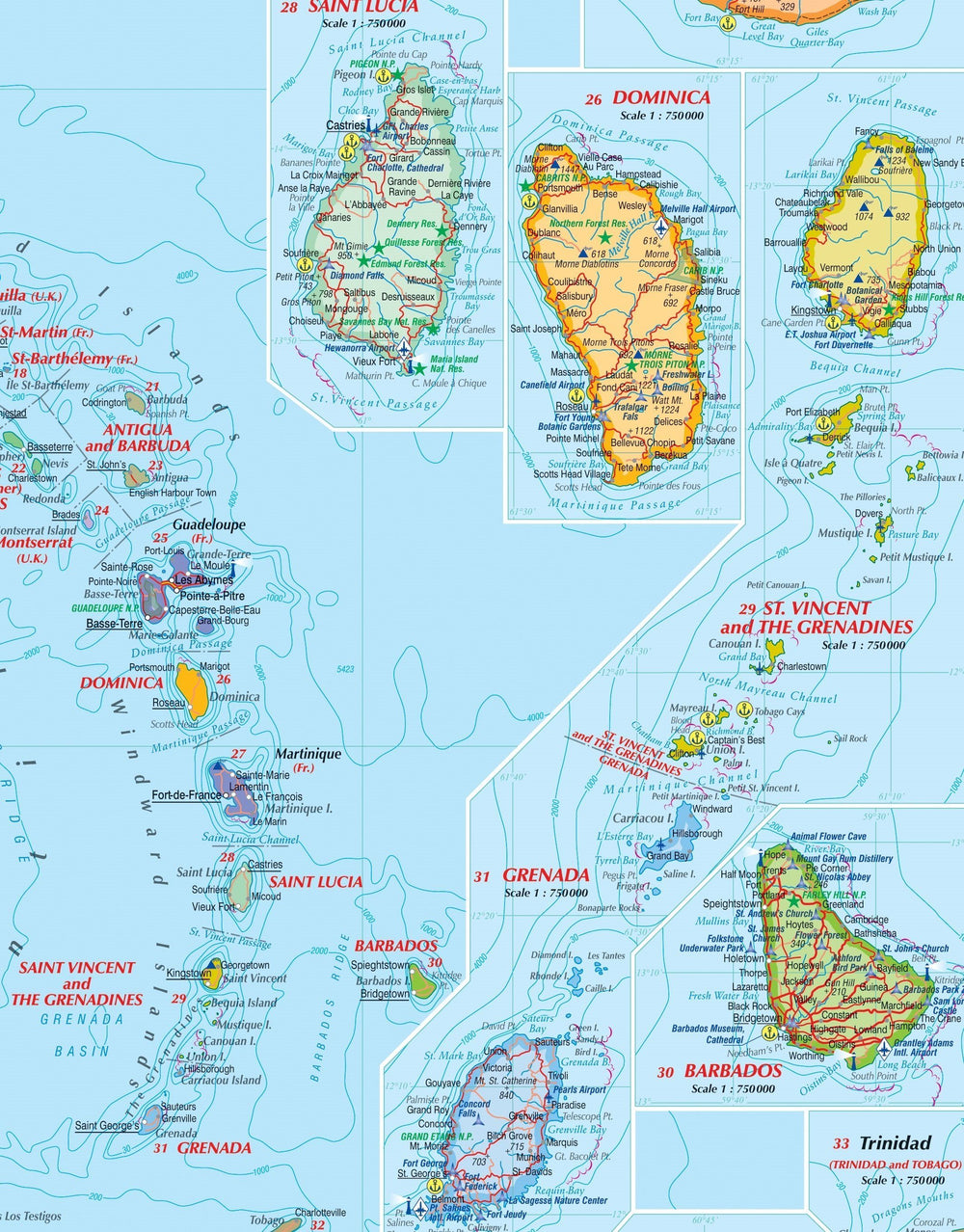
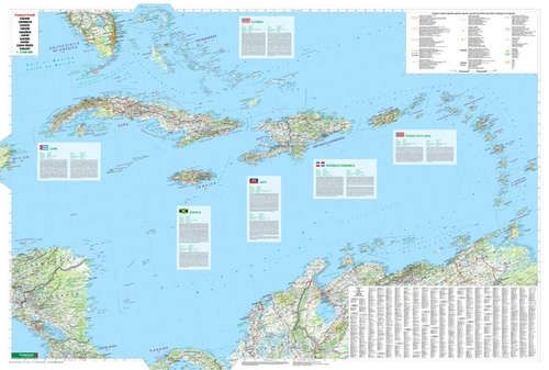
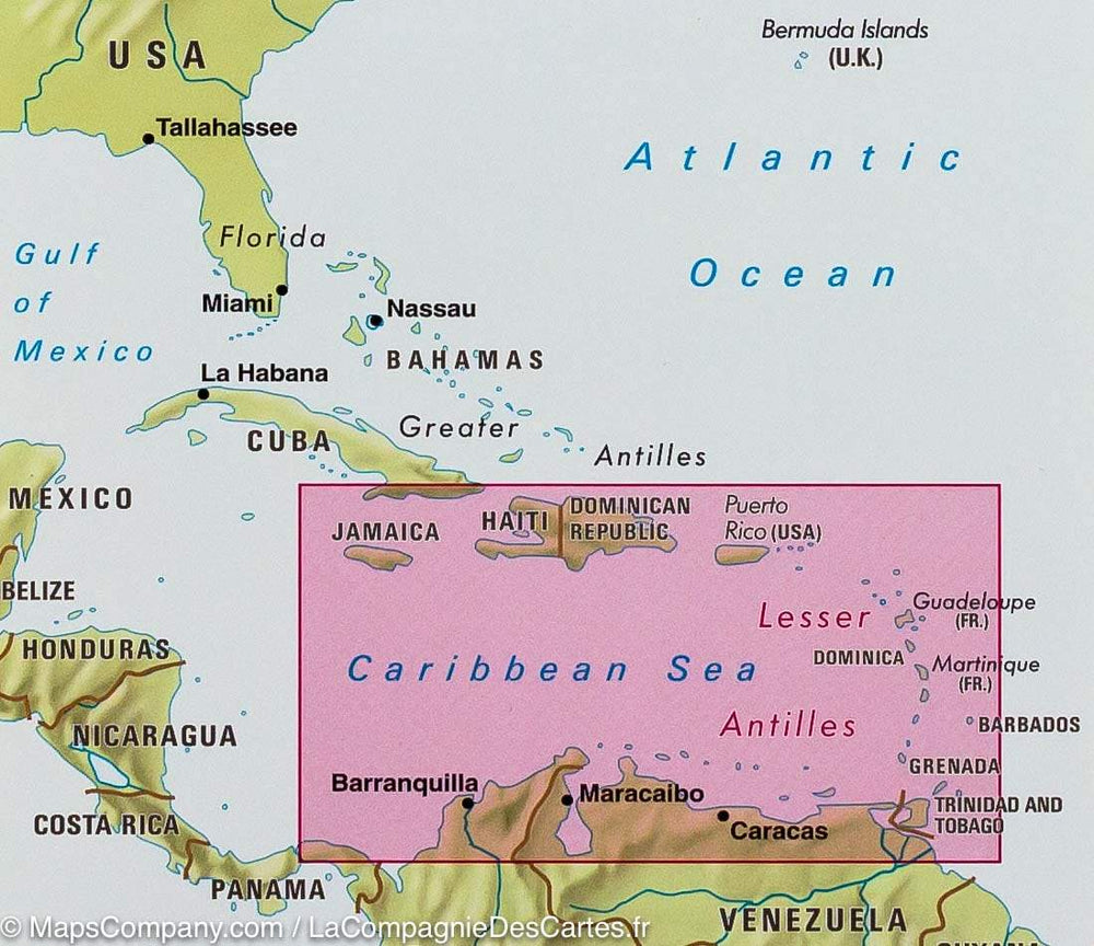
Each island is depicted in detail, filling the front of the map. The back features a map of the Caribbean, stretching from the Florida Keys and the Bahamas south to the coast of Venezuela.
Cruise ship lines are indicated.
ISBN/EAN : 9781771290258
Publication date: 2022
Scale: 1/80,000 (1 cm = 800 m) & 1/3,200,000 (1 cm = 320 km)
Printed sides: both sides
Folded dimensions: 24.6 x 10.3 x 0.5cm
Unfolded dimensions: 100 x 69cm
Language(s): English
Weight:
49 g


