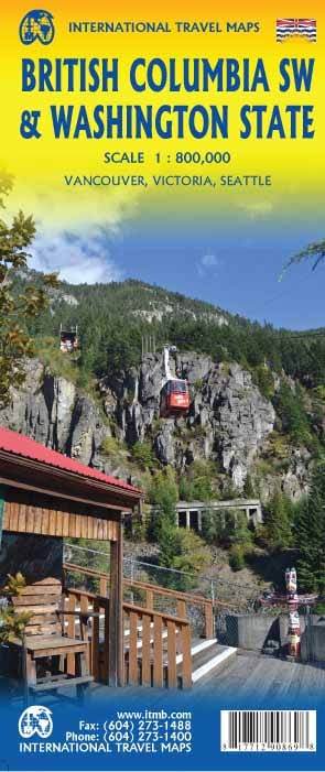
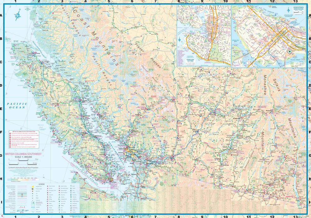
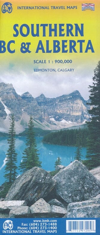
Travel map - British Columbia Southwest & Washington State | ITM
Regular price
$15.00
Regular price
Sale price
$15.00
Save $-15
/
- Shipping within 24 working hours from our warehouse in France
- Delivery costs calculated instantly in the basket
- Free returns (*)
- Real-time inventory
- In stock, ready to ship
Related geographic locations and collections: British Columbia, Northwest USA, Seattle, Southwest USA, Washington (state), Western Canada