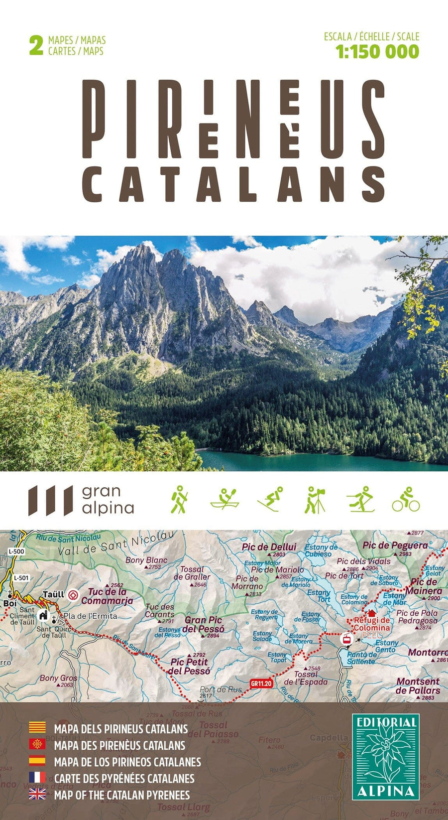
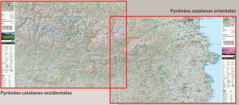
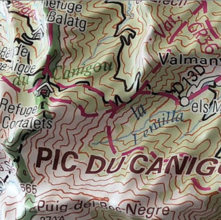
Discover the Santa Magdalena Valley, a unique corner of the Pyrenees that stretches between Llavorsí and Rialp, where the Santa Magdalena or Romadriu River forms a natural border between Pallars Sobirà and Alt Urgell. With its high altitudes and virtually unspoiled nature, the valley is dominated by the majestic Salòria peak (2,789 m), the highest point in Alt Urgell.
The map also includes the Siarb or Cantó Valley, a territory of contrasts between the Pyrenees and the Pre-Pyrenees, which extends from the village of Sort to the Torreta de l'Orri (2,438 m), offering spectacular and authentic landscapes.
Area covered: Western Catalan Pyrenees. Alt Pirineu Natural Park. Regions of Pallars Sobirà and Alt Urgell.
Features: 2 topographic maps at a scale of 1:25,000, with information of interest: marked trails (GR, PR), paths, refuges, waterfalls, etc.
The folding flap includes:
• Practical information
· Hiking
• Shelters
· Must-see sites
ISBN/EAN : 9788470111761
Publication date: 2025
Scale: 1/25,000 (1cm=250m)
Printed sides: front
Folded dimensions: 21 x 12.5 x 1cm
Unfolded dimensions: 100x70cm
Language(s): English, Catalan, Castilian
Weight:
184 g