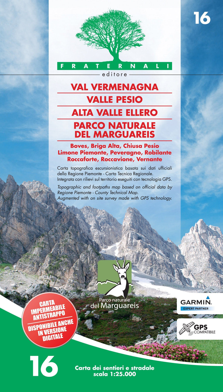
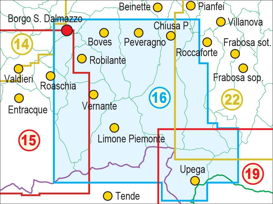
Hiking map No. 25 - 16 - Val Vermenagna, Valle Pesio, Alta Valle Ellero | Fraternali - 1/25 000

Price
Regular price $17.00
Regular price Sale price $17.00
Save $-17
/
  • Shipping within 24 working hours from our warehouse in France
  • Frais de livraison calculés instantanément dans le panier
  • Retours gratuits (*)
  • Stocks en temps réel
  • In stock, ready to ship
  • Backordered, shipping soon
Tax included.

Souvent achetés ensemble :

Waterproof and tearing map from Valle Vermenagna, Valle Pesio, Alta Valle Ellero.
Hiking information (shelters, bivouacs, unguarded shelters, climbing walls, equipped areas, places of interest, via ferrata, Dangerous passages, etc.) Legends and general information (all fully translated into English, French and German)
This map includes:
- punctual elements such as fountains, pylons and crosses, access bans, caves, etc.
- Hiking ski trails
- ATVs
- Primary and secondary road network
- Designation of trails and hiking routes
- Complete road network
- Type of land (woody areas, stones, glaciers, etc.)
- Lakes, rivers, streams
- borders of states, regions, provinces, municipalities and national parks
- Equidistance level curves 50 m, 10 m, 5 m
- Buildings, Industries, Churches, Cemeteries
- Military constructions, Fortifications
- complete toponymy
- Stations, highway outputs
This document also contains a metric grid indicated in the frame according to the UTM WGS84 projection.


ISBN/EAN : 9788897465140
Publication date: 2019
Scale: 1/25,000 (1cm=250m)
Printed sides: both sides
Folded dimensions: 14.4 x 28cm
Language(s): French, English, German, Italian
Weight: 80 g

Customer Reviews

Be the first to write a review
0%
(0)
0%
(0)
0%
(0)
0%
(0)
0%
(0)