File with two maps at a scale of 1:20,000, printed on waterproof and very resistant paper.
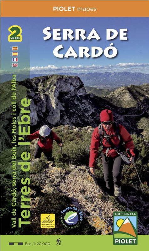
The Serra de Cardó, located on the border of the regions of Ribera d'Ebre and Baix Ebre, is a magnificent viewpoint over the Ebro Delta.
It is a territory with a rich architectural heritage in the form of isolated hermitages that make each excursion a historical, cultural and artistic discovery.
This cartography at a scale of 1:20,000 is presented in the form of a file with two maps, the North and the South of the Sierra de Cardó. The North map includes a 1:10,000 scale enlargement of the Cardó Spa area to provide maximum environmental detail, and the South map shows a detail of the Sierra de las Velas, located at the southern end of the Cardó massif.
It is worth noting the type of paper the map was printed on. It is a so-called "stone paper" that is PVC-free, cellulose-free, and water-free. This paper is waterproof, more durable, and more environmentally friendly than traditional map paper.
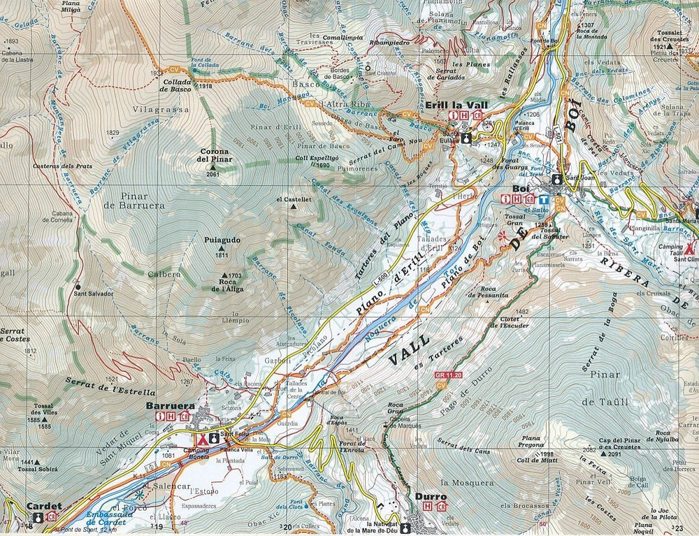
The Spanish publisher Editorial Piolet produces particularly detailed maps of Spain's subregions, suitable for hikers and mountain bikers. Traditionally, they began in the Barcelona region, but they are increasingly expanding to other parts of Spain.
The maps have a topographical background with contour lines, peaks, shadows on mountain ridges, roads and villages, hamlets, and even farms. In addition, they have marked some hiking trails, including GR trails and PR trails, the regional long-distance hiking trails. Other hiking trails are marked, but with the normal black lines instead of a striking color. Mountain bike routes are also shown on some maps, but this is the exception rather than the rule. The symbols indicate other useful things such as campsites, attractions, caves, etc.