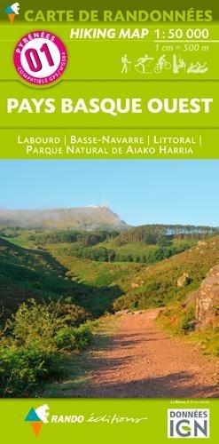
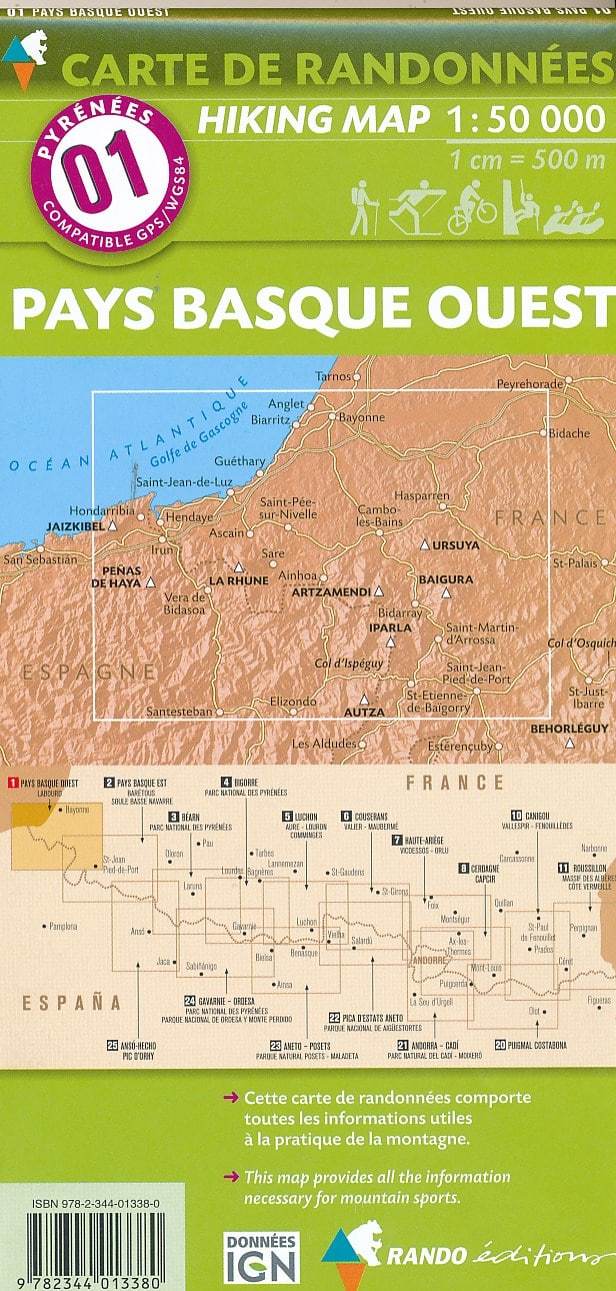
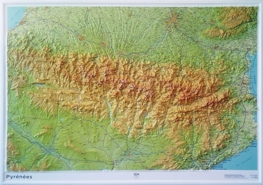
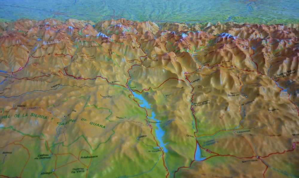
Detailed topographic map of the west of the Basque Country. This pyrenees hiking map No. 1 published by Rando editions covers western Basque Country (from the Atlantic Coast to the East Saint - Jean - Pied - de - Port).
Location of guarded shelters, Stage cottages, Campsites, Bivouac areas, Tourist indications (points of view, sites), Cultural (museums, etc.), sports (centers of equestrian activity, mountain biking, Free flight, climbing, canyoning, rafting ...).
Print five colors.
Topographic map with level curves and useful information to the included mountain practice.
1/50 000 scale (1 cm = 500 m).
ISBN/EAN : 9782344047439
Publication date: 2021
Scale: 1/50,000 (1cm=500m)
Printed sides: front
Folded dimensions: 22.5 x 11 x 0.5cm
Unfolded dimensions: 131 x 90cm
Language(s): French English
Weight:
103 g


