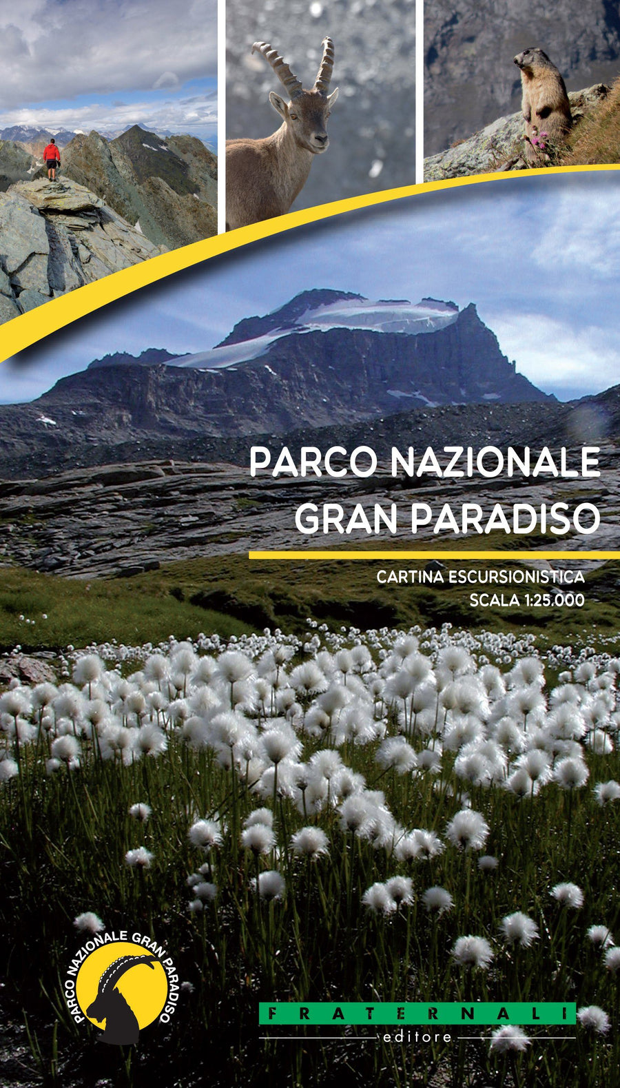
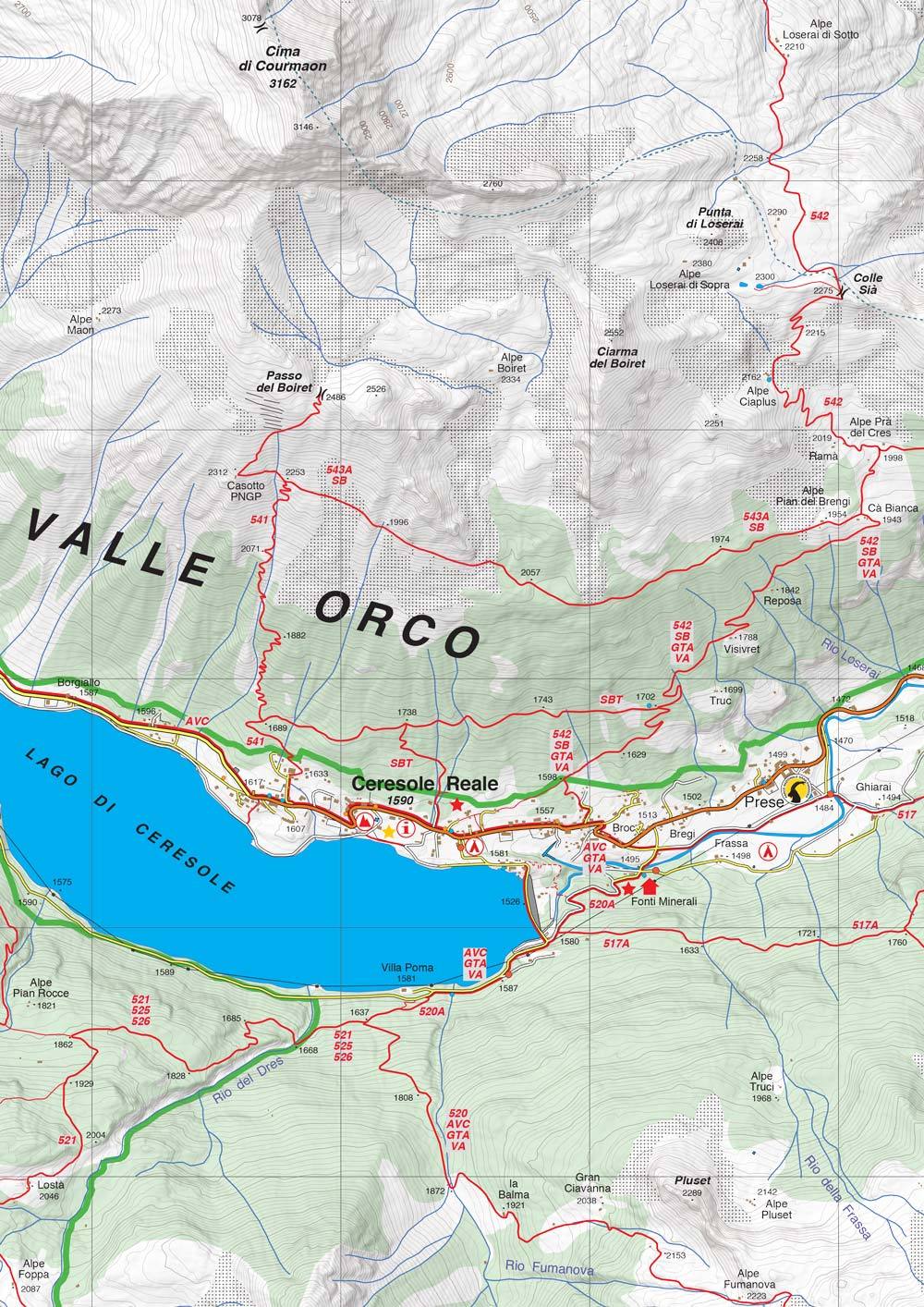
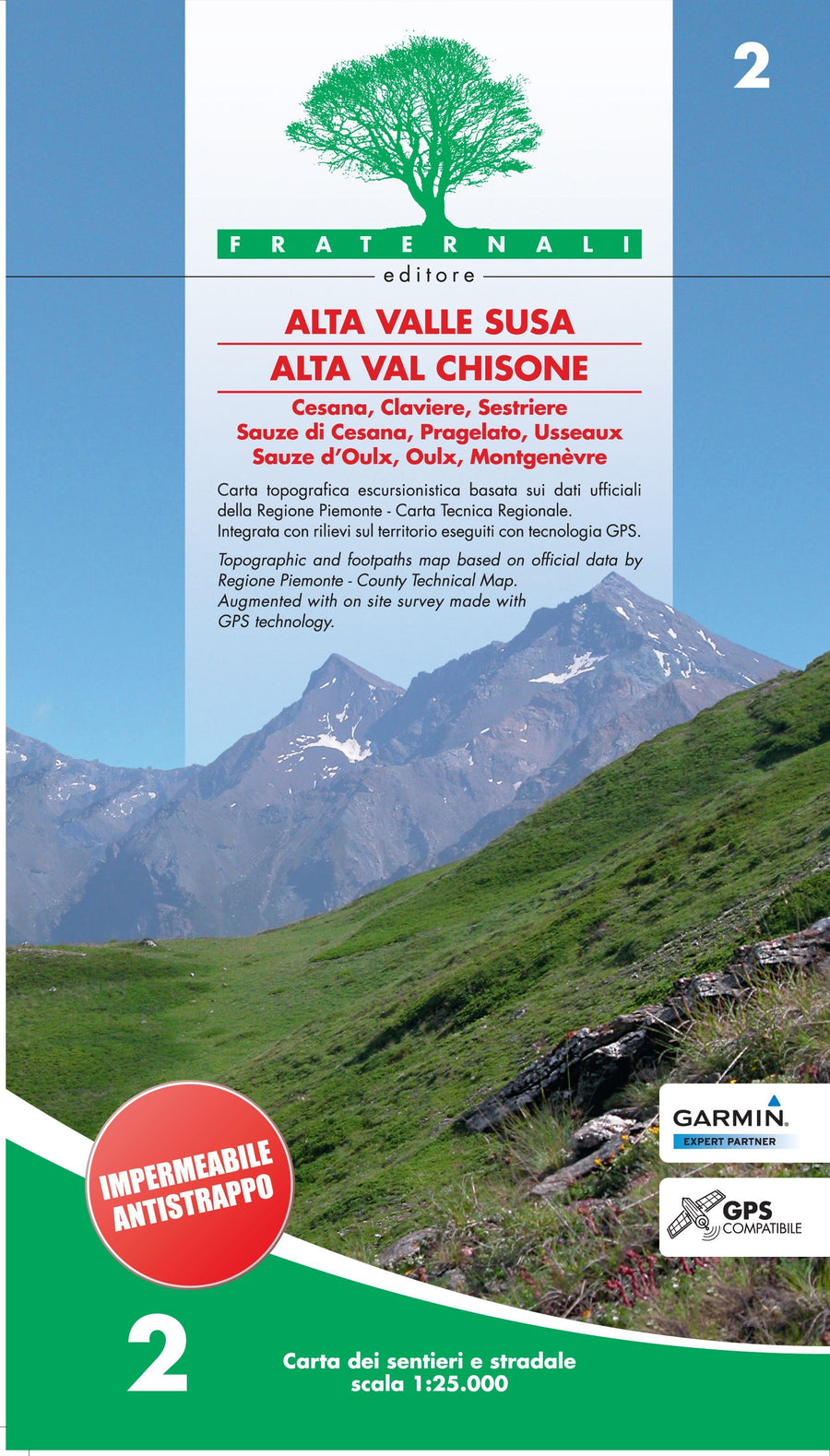
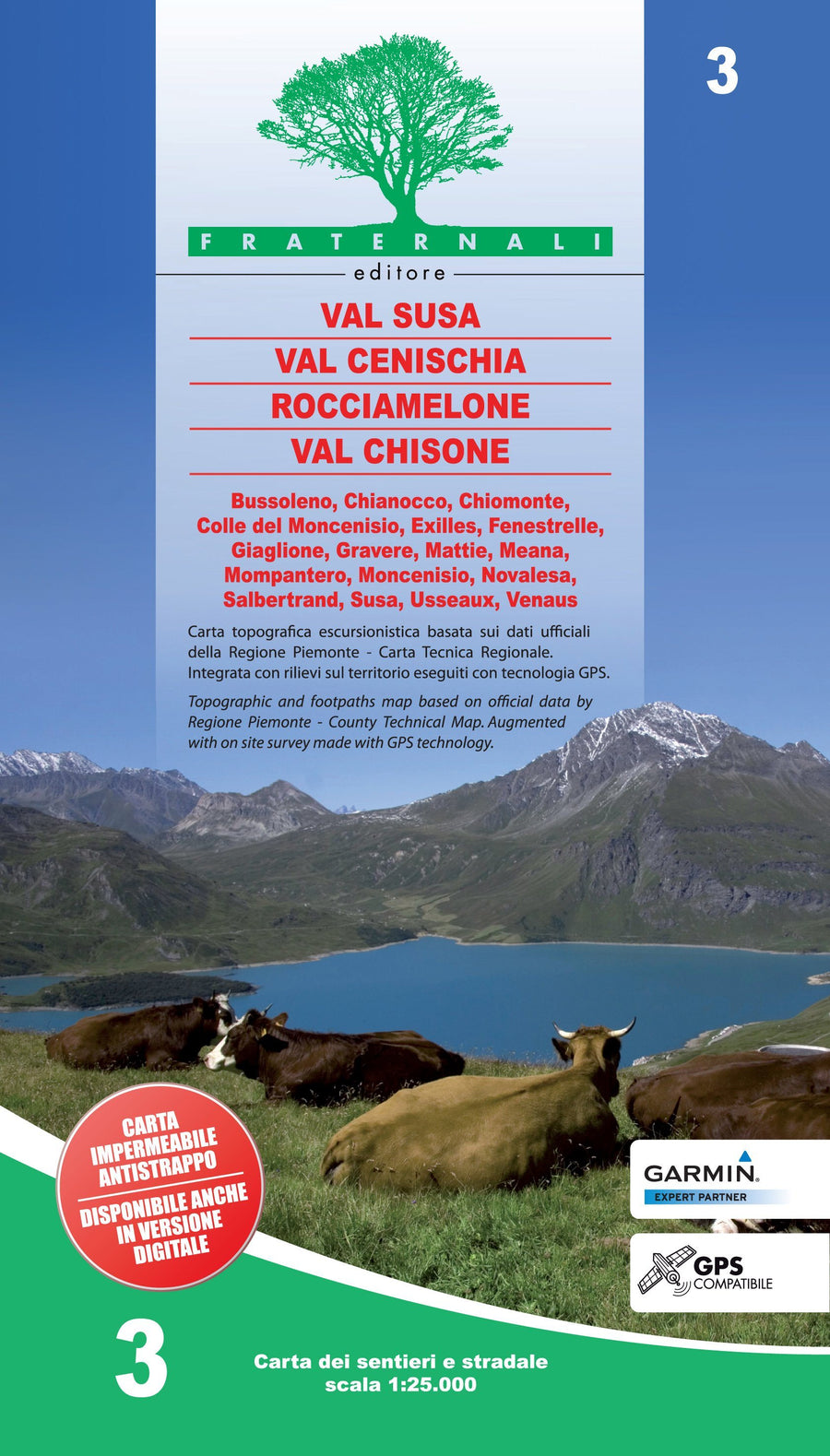
Hiking map - Parco Nazionale del Gran Paradiso | Fraternali - 1/25 000

Price
Regular price $19.00
Regular price Sale price $19.00
Save $-19
/
  • Shipping within 24 working hours from our warehouse in France
  • Delivery costs calculated instantly in the basket
  • Free returns (*)
  • Real-time inventory
  • In stock, ready to ship
  • Backordered, shipping soon
Tax included.

Often purchased together:

Waterproof hiking map of the Grand Paradis.BR / GT National Park Hiking information (shelters, bivouacs, unavareted shelters, climbing walls, equipped areas, places of interest, via ferrata, dangerous passages, etc.)
Legends of maps and general information (all fully translated into English, French and German)
One - off elements such as fountains, pylons and crosses, access prohibitions, caves, etc.
Primary and secondary track network, fixed strings
Visitor reception centers
Complete road network
Type of terrain (woody areas, stones, glaciers, etc.).
Lakes, rivers, streams
Boundaries of states, regions, provinces, municipalities and national parks
Equidistance Level Curves 50 m, 10 m, 5 m
Buildings, Industries, Churches, Cemeteries
ATVs
Designation of trails and hiking routes
Military constructions, Fortifications
Complete toponymy
Stations, highway outputs
This document also contains a metric grid indicated in the frame according to the UTM WGS84 projection.


ISBN/EAN : 9788897465454
Publication date: 2017
Scale: 1/25,000 (1cm=250m)
Printed sides: both sides
Folded dimensions: 14.4 x 28cm
Language(s): French, Italian, English, German
Weight: 80 g

Customer Reviews

No reviews yet
0%
(0)
0%
(0)
0%
(0)
0%
(0)
0%
(0)