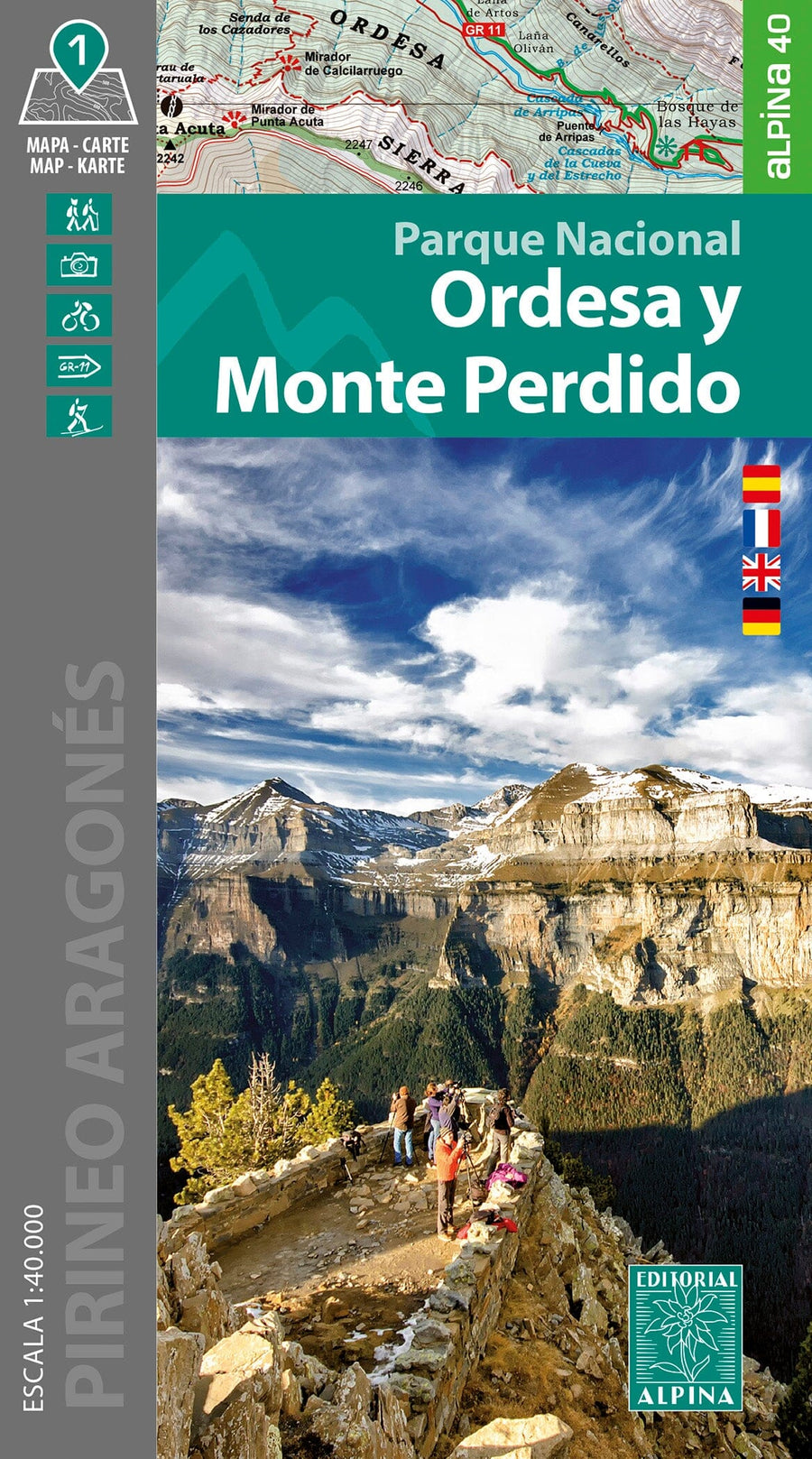
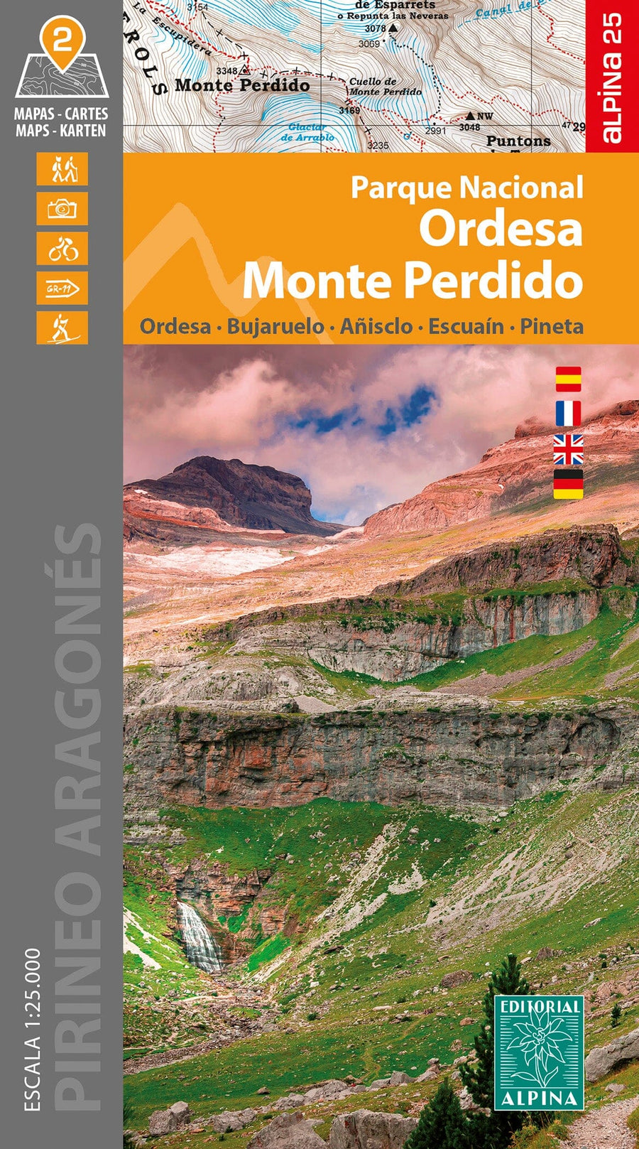
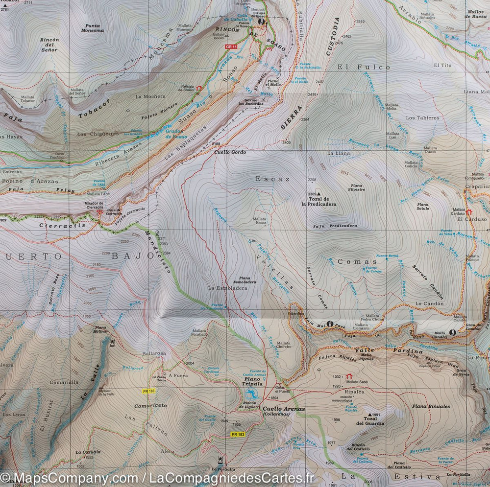
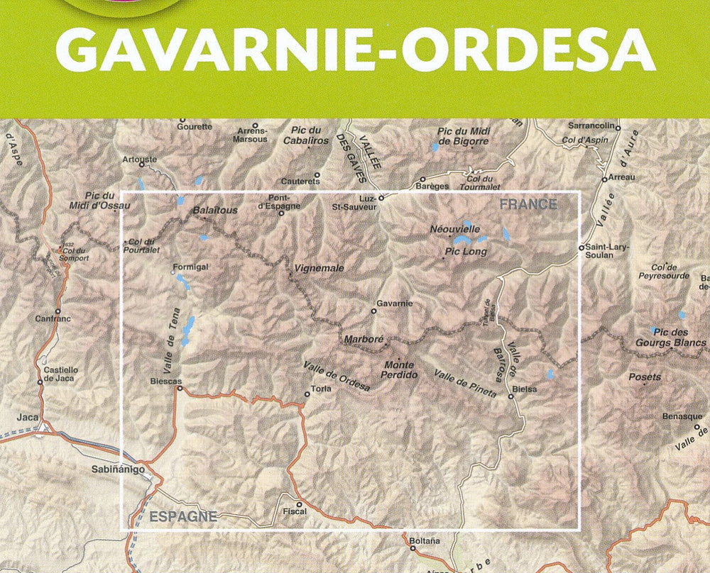
Detailed map that covers the Ordesa National Park and Monte Perdido. Scale 1:40,000.
Area covered: Ordesa y Monte Perdido National Park. Aragonese Pyrenees. Sobrarbe. Sector Valley of Ordesa, Pineta, Añisclo, Gavarnie and Monte Perdido.
Map features: Topographic map with information of interest for hikers: shelters, marked trails (GR, PR, local trails), mountain trails, etc.
The foldable flap includes: • Guarded shelters • Hikes • Unmissable sites
ISBN/EAN : 9788480909990
Publication date: 2024
Scale: 1/40,000 (1cm=400m)
Printed sides: front
Folded dimensions: 21 x 12.5cm
Unfolded dimensions: 98 x 68cm
Language(s): French, English, German, Castilian
Weight:
170 g


