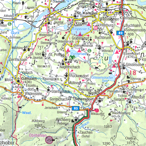
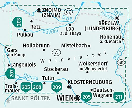
Hiking and cycling map with information on terrain and points of interest. The accompanying information booklet contains a selection of the best hiking trails, cycle paths and mountain bike trails, as well as a brief description of the different municipalities with their leisure activities. (German language).
This card is waterproof and tear-resistant.
ISBN/EAN : 9783707920642
Publication date: 2024
Scale: 1/50,000 (1cm=500m)
Folded dimensions: 20.5 x 12.5cm
Language(s): German
Weight:
97 g


