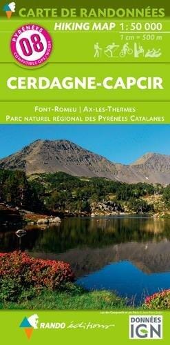
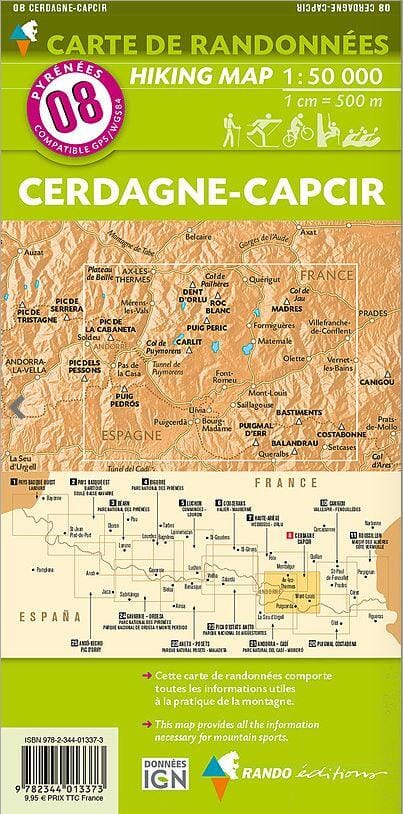
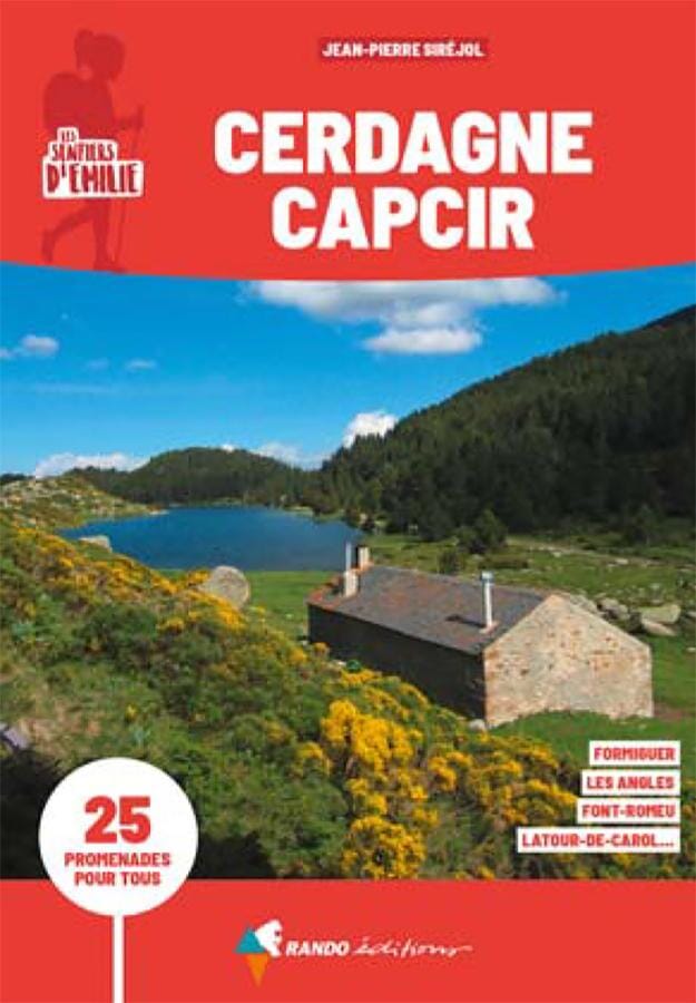
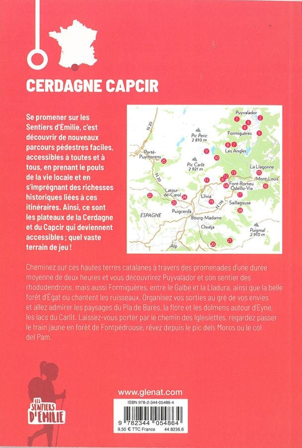
Hiking Map # 8 - Cerdagne and Capcir (Catalan Pyrenees) | Rando Editions (French)
Regular price
$84.00
Regular price
Sale price
$84.00
Save $-84
/
- Product made to order - Shipping within 7 to 10 working days from our workshop
- Delivery costs calculated instantly in the basket
Related geographic locations and collections: Capcir, Catalan Pyrenees, Cerdanya, Font Romeu, Rando Editions, Spanish Pyrenees, Wall Maps