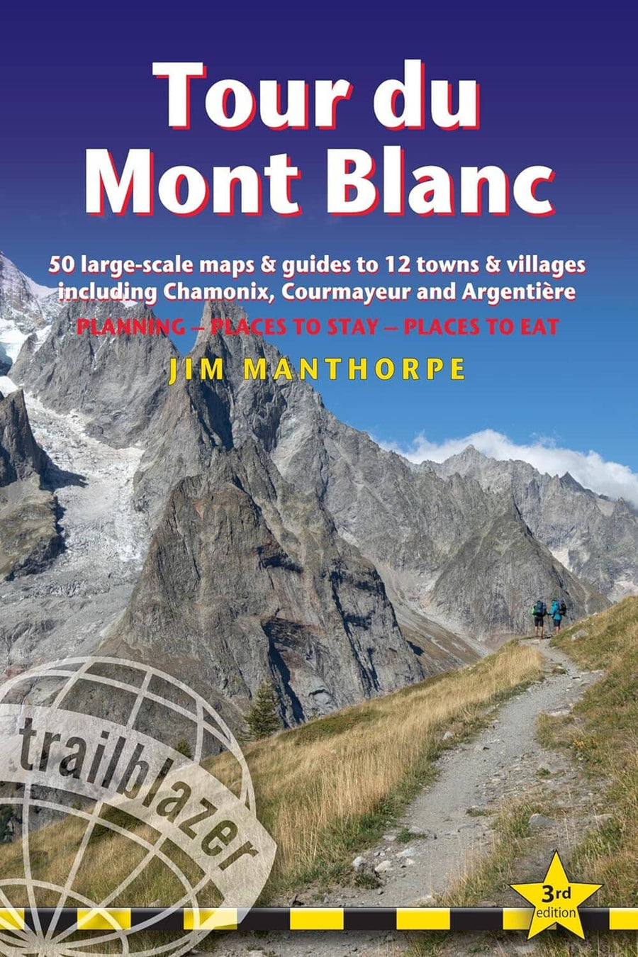
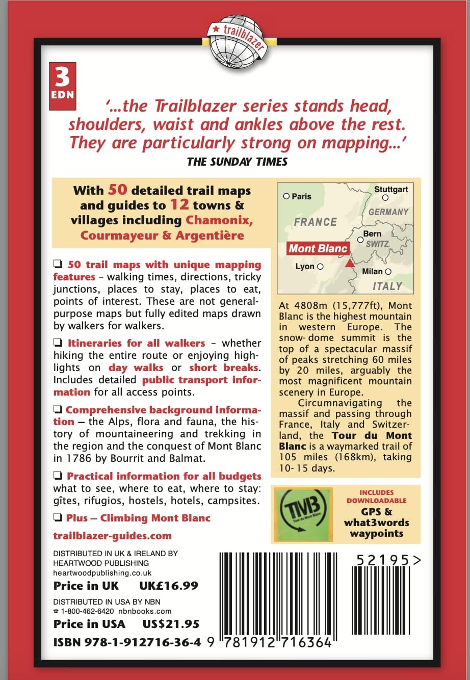
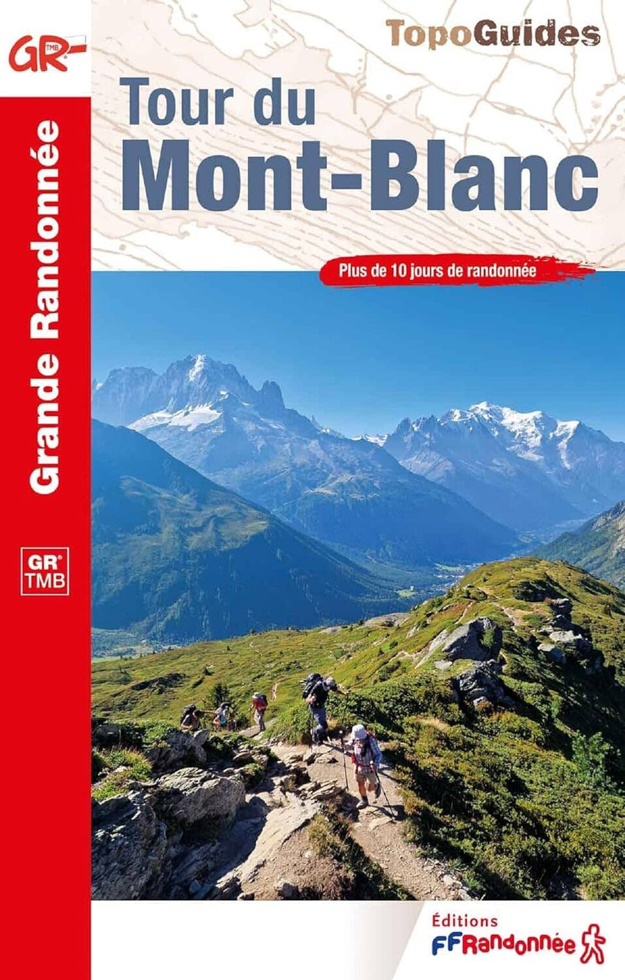
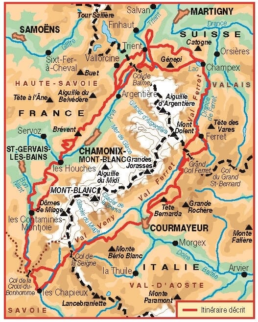
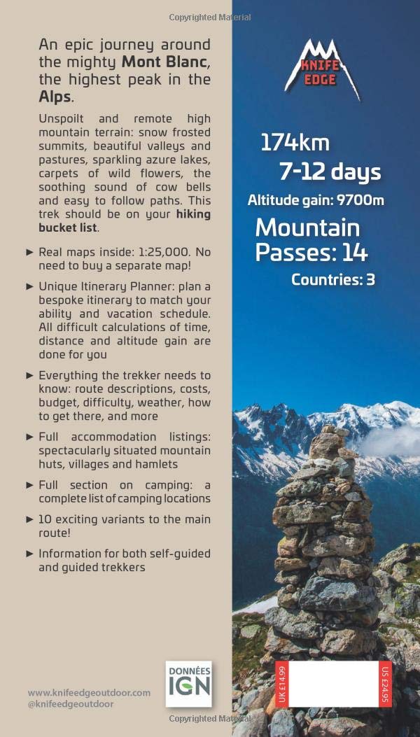
Topographic map of the Tour du Mont Blanc from the Great Treks series.
- 105-mile route skirting the base of Europe's highest peak, Mont Blanc
- Descriptions of trail sections with estimated walking times and difficulty levels
- Travel tips for transportation, accommodation, etc.,
- Alternative routes between shelters clearly indicated
Included on all Great Trek maps:
- Navigation grids
- Contour lines and hill shading
- Detailed trail profile
- Printed on waterproof paper
ISBN/EAN : 9781566959544
Publication date: 2025
Scale: 1/25,000 (1cm = 250m)
Printed sides: both sides
Folded dimensions: 24 x 11cm
Language(s): English
Weight:
85 g


