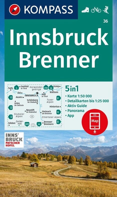
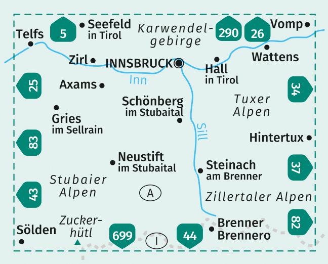
Hiking map No. 36 - Innsbruck, Brenner (Tyrol, Austria) | Kompass

Price
Regular price $17.00
Regular price Sale price $17.00
Save $-17
/
  • Shipping within 24 working hours from our warehouse in France
  • Delivery costs calculated instantly in the basket
  • Free returns (*)
  • Real-time inventory
  • Low stock - 2 items left
  • Backordered, shipping soon
Tax included.

Often purchased together:

Hiking map of Innsbruck and Brenner published by Kompass.
The highly detailed Kompass maps present the topography of the terrain, indicate hiking trails with markings according to difficulty level, contour lines and corresponding vegetation types, as well as comprehensive tourist information.
Symbols indicate campsites, youth hostels, mountain huts, selected hotels and remote inns, sports and recreational facilities, as well as a wide range of other places of interest.
The legend is in German.


ISBN/EAN : 9783991219859
Publication date: 2023
Scale: 1/50,000 (1cm=500m)
Folded dimensions: 11 x 19cm
Language(s): German
Weight: 160 g

Customer Reviews

Be the first to write a review
0%
(0)
0%
(0)
0%
(0)
0%
(0)
0%
(0)