Waterproof and tear-resistant map of the region of Valle Argentina, Val Prino, Valle Impero, Val Lerrone.
Coverage of this map: Aurigo, Badalucco, Borghetto d'Arroscia, Borgomaro, Caravonica, Casanova Lerrone, Castellaro, Cesio, Chiusanico, Chiusavecchia, Cipressa, Civezza, Costarainera, Diano Arentino, Diano Castello, Diano Marina, Dolcedo, Imperia, Lucinasco, Montalto Carpasio, Pietrabruna, Pieve di Teco, Pompeiana, Pontedassio, Prelà, Rezzo, Riva Ligure, San Lorenzo al Mare, Santo Stefano al Mare, Stellanello, Taggia, Terzorio, Testico, Vasia, Vessalico, Villa Faraldi.
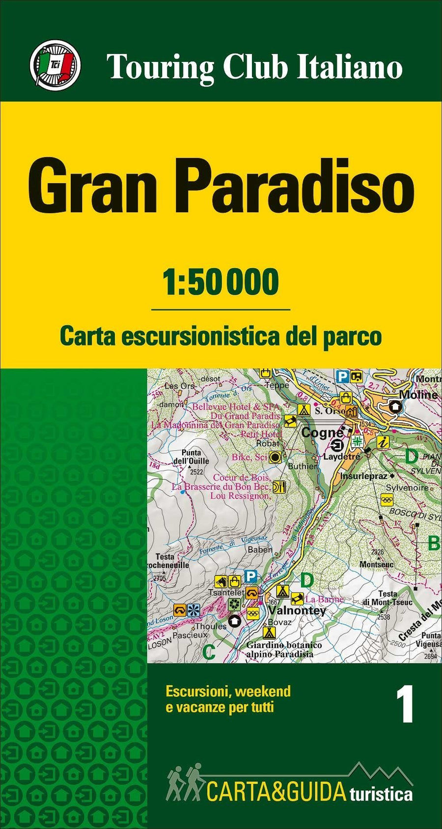
Hiking information (refuges, bivouacs, unguarded shelters, climbing walls, equipped areas, places of interest, via ferrata, dangerous passages, etc.) Keys and general information (all fully translated into English, French and German)
This card includes:
- Point elements such as fountains, pylons and crosses, access restrictions, caves, etc.
- Ski touring trails
- Mountain bike routes
- Network of primary and secondary tracks
- Designation of trails and hiking routes
- Complete road network
- Type of terrain (wooded areas, rocks, glaciers, etc.)
- Lakes, rivers, streams
- Borders of states, regions, provinces, municipalities and national parks
- Equidistance contour lines 50 m, 10 m, 5 m
- Buildings, industries, churches, cemeteries
- Military constructions, fortifications
- Complete toponymy
- Train stations, motorway exits
This document also contains a metric grid shown within the frame according to the UTM WGS84 projection.