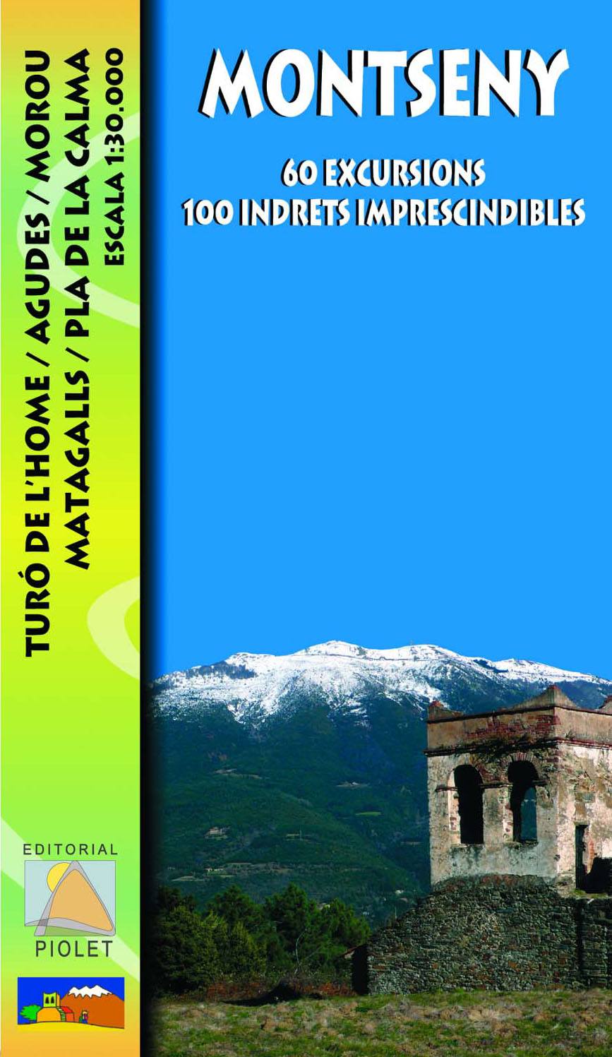
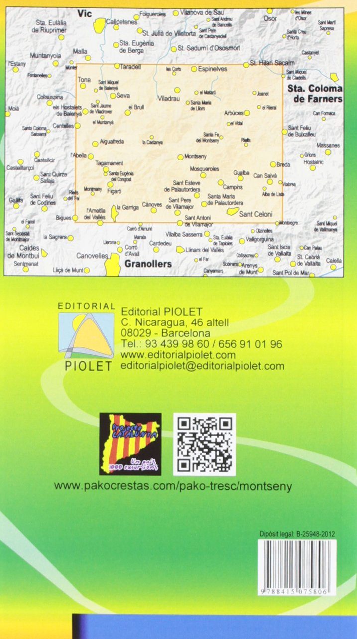
Hiking map with 60 marked hiking trails.
The Spanish publisher Editorial Piolet produces particularly detailed maps of Spain's subregions, suitable for hikers and mountain bikers. Traditionally, they began in the Barcelona region, but are increasingly expanding to other parts of Spain.
The maps have a topographical background with contour lines, peaks, shadows on mountain ridges, roads and villages, hamlets, and even farms. In addition, they have marked some hiking trails, including GR trails and PR trails, the regional long-distance hiking trails. Other hiking trails are marked, but with the normal black lines instead of a striking color. Mountain bike routes are also shown on some maps, but this is the exception rather than the rule. The symbols indicate other useful things such as campsites, attractions, caves, etc.
ISBN/EAN : 9788415075806
Publication date: 2012
Scale: 1/30,000 (1cm=300m)
Folded dimensions: 12x21cm
Language(s): Spanish
Weight:
80 g