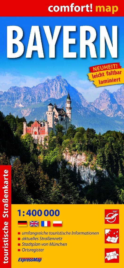
Hiking map of Lake Starnberg and Lake Ammersee published by Kompass: the ideal map for hiking, cycling and many other outdoor activities.
Easy-to-read, compass hiking maps contain all the information you need for an ideal hike, bike ride, or excursion. They depict nature at the appropriate scale. A wealth of additional information is continually reviewed and expanded by the mapping team. This precise mapping includes all official hiking trails with their names and numbers (such as long-distance hiking trails), cycle paths (with footpaths), via ferratas, inns and refuges, parking lots, bus and train connections, ski touring and cross-country ski trails, springs, swimming spots, and much more. This map is ideal for discovering new destinations, planning excursions, and orienting yourself. Vegetation, contour lines, petroglyphs, and mountain shadows create an intuitive map of the landscape.
Features of the hiking map of Lake Starnberg and Lake Ammersee:
- Scale 1:50,000: 1 cm on the main map corresponds to 500 m in nature
- Thanks to the tear-resistant and weather-resistant paper, the card withstands all weather conditions
- A section of the map can also be used offline in the Kompass hiking map app
- More zoom levels: in the KOMPASS hiking map app
ISBN/EAN : 9783991542728
Publication date: 2025
Scale: 1/50,000 (1cm=500m)
Folded dimensions: 11 x 19cm
Language(s): German
Weight:
170 g