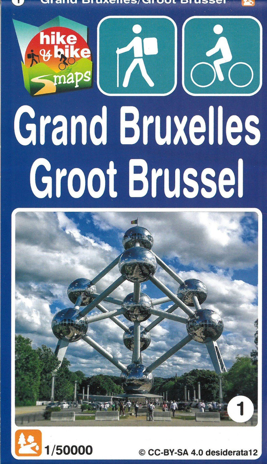
Hiking map - Grand Brussels | Mini Planet

Price
Regular price $13.00
Regular price Sale price $13.00
Save $-13
/
  • Shipping within 24 working hours from our warehouse in France
  • Delivery costs calculated instantly in the basket
  • Free returns (*)
  • Real-time inventory
  • In stock, ready to ship
  • Backordered, shipping soon
Tax included.

Often purchased together:

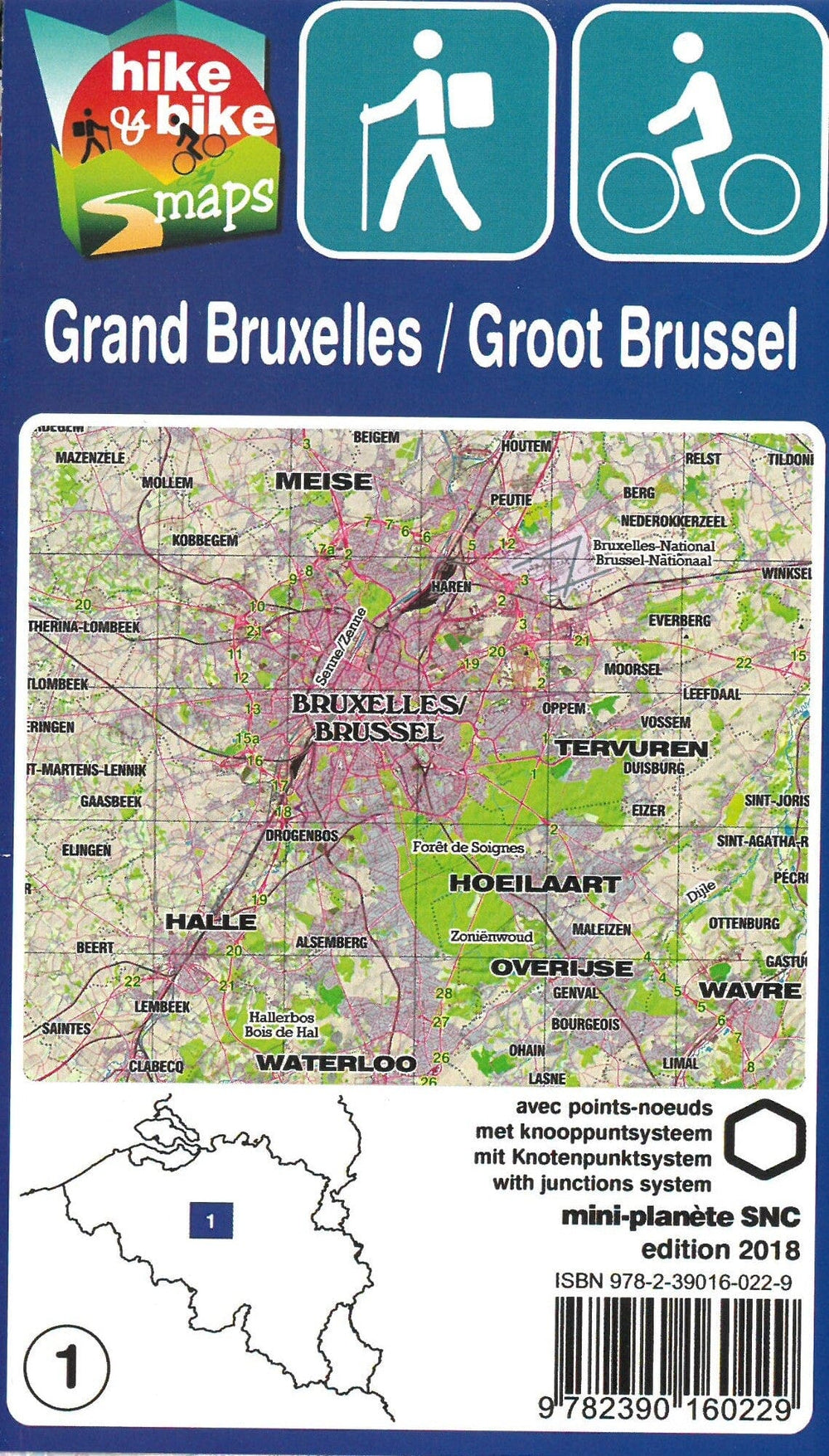
1/50 000 scale topographic map (1 cm = 500 m) totally unpublished, which will project you in a giant network of hundreds of kilometers of walks for walkers, cyclists and riders.

The mini - planet maps allow the user to create his own route by following the paths of a node - to - one point. A node point is a crossroads or a locality that serves as a reference on the map as a starting point or arrival of a section. In addition to your mini - planet, two complementary tools help you before and during your ride: the tracer, online software to prepare your circuit and mobile application, for geolocation and virtual markup throughout your itinerary.

  • Relief and altimetric curves at 5 m
  • multitude of points of interest (restaurants, hotels, cottages, bakeries, butchers, snacks, cafes, pharmacies, supermarkets, castles, museums, churches, crosses, chapels, stations, game plains, picnic tables, barbecues, etc.)
  • Additional mentions (private paths, cycling roads, parking, benches, etc.)
  • mileage indicated on each section to calculate its route
  • QR codes connected to the website www.mini - ardenen.be which lists all points of interest per village.


ISBN/EAN : 9782390160229
Publication date: 2018
Scale: 1/50,000 (1cm=500m)
Folded dimensions: 17x10cm
Unfolded dimensions: 100 x 50cm
Language(s): French English
Weight: 82 g

Customer Reviews

No reviews yet
0%
(0)
0%
(0)
0%
(0)
0%
(0)
0%
(0)