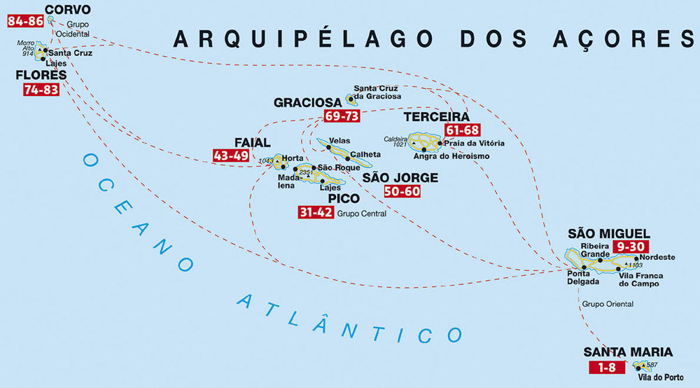
Hiking and cycling map - Azores # WKP3 | Freytag & Berndt
Hiking and cycling map - Azores # WKP3 | Freytag & Berndt
Regular price
$17.00
- Shipping within 24 working hours from our warehouse in France
- Delivery costs calculated instantly in the basket
- Free returns (*)
- Real-time inventory
- In stock, ready to ship
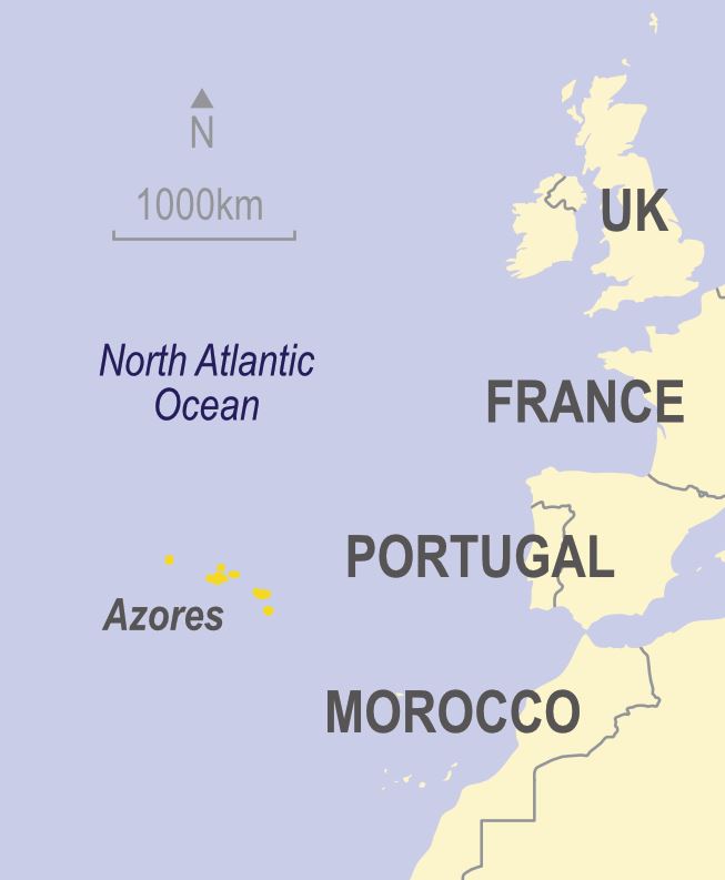
Related geographic locations and collections: Azores