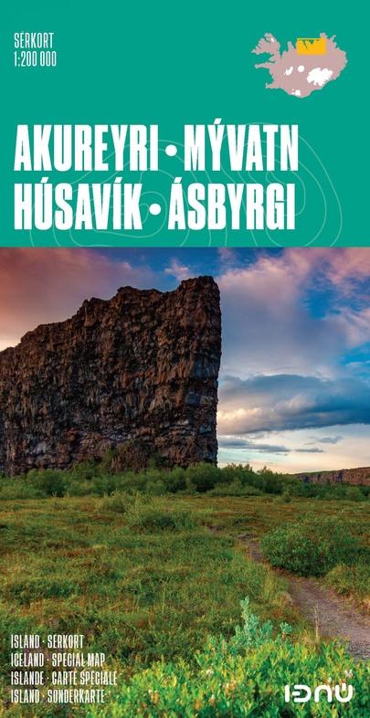
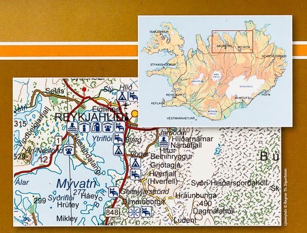
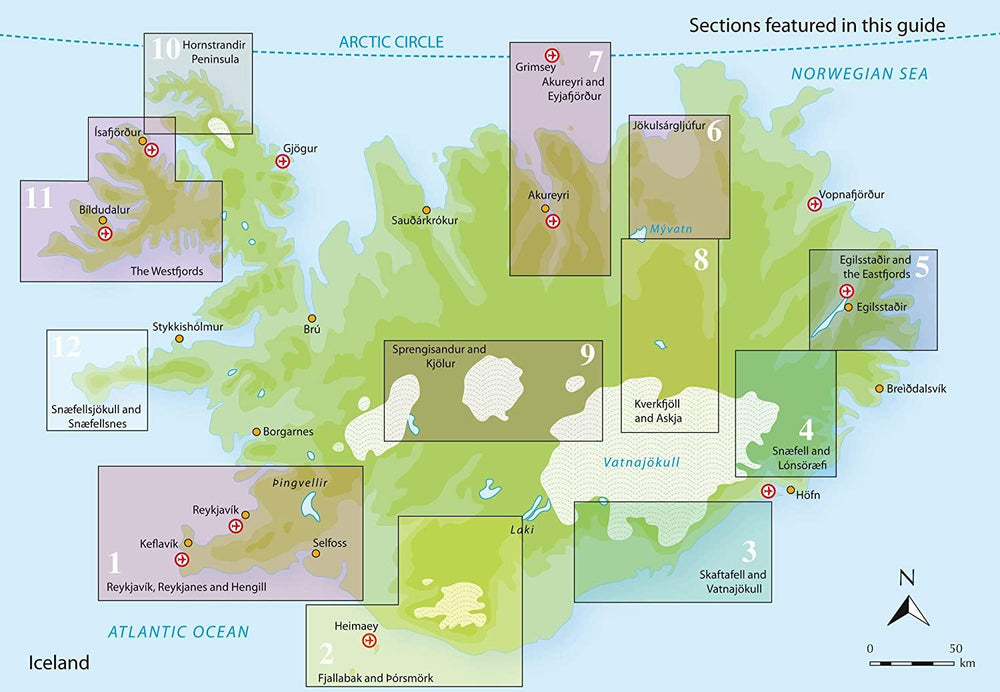
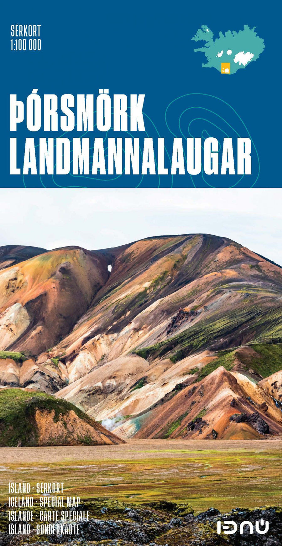
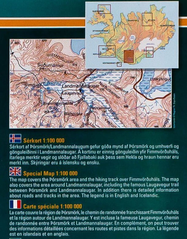
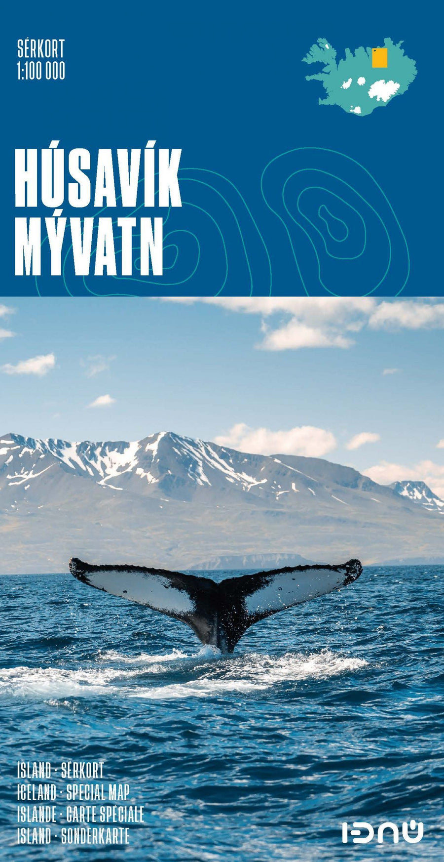
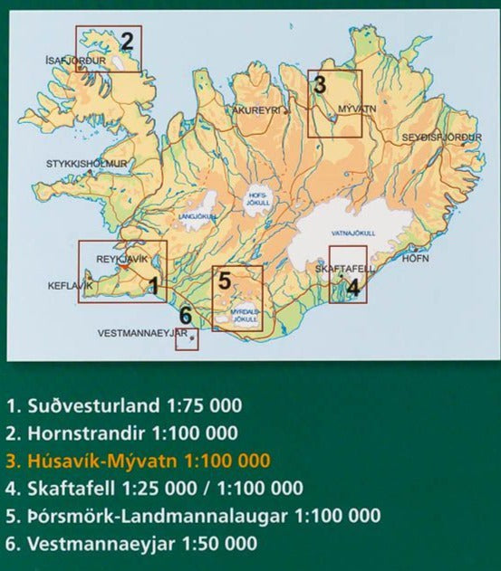
Topographic map of Northern Iceland published by Ferdakort (Serkort Series). This map of Iceland covers the extreme north of Iceland with the cities of Husavik and Akureyri, Lake Myvatn and the ASBYBRGI area. Level curves, tourist indications (service stations, accommodation etc ...), roads and tracks.
This detailed map of Iceland is protected by a laminated case. Icelandic, English, French and German multilingual legend.
Scale 1: 200,000 (1 cm = 2 km).
ISBN/EAN : 9789979675099
Publication date: 2021
Scale: 1/200,000 (1cm=2km)
Printed sides: front
Folded dimensions: 21.6 x 11.6 x 0.5cm
Unfolded dimensions: 95x43cm
Language(s): French, English, German, Icelandic
Weight:
61 g


