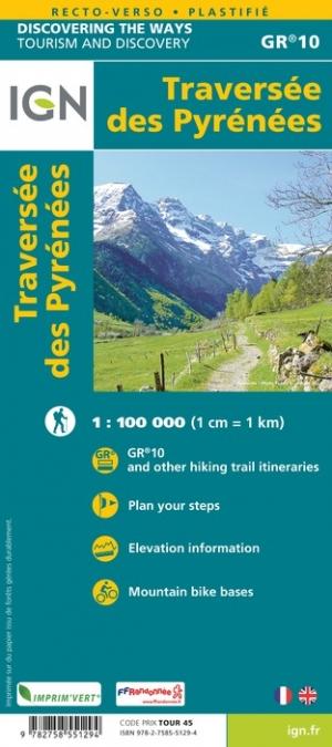
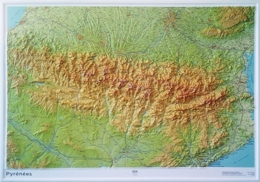
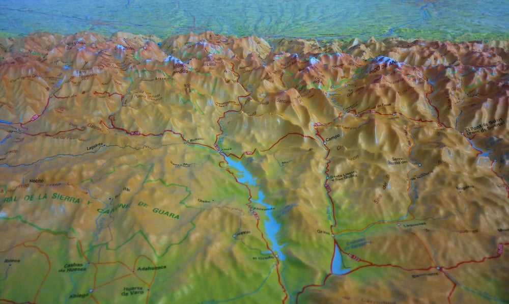
This topomap is based on the route of the GR® 10 and offers a 6-day loop to see major sites such as the Pont d'Espagne, Lake Gaube, the north face of Vignemale and Gavarnie.
An all-in-one product to experience roaming with complete peace of mind. Breakdown of the stages for the day, assets of the region crossed, precise IGN mapping, GPS tracks to download, accommodation... All the information necessary for the itinerant hiker is specified on this solid and flexible double-sided topomap.
In the heart of the central Pyrenees, soak up the diversity of Pyrenean atmospheres from the mineral mountain, at the foot of Vignemale, to the flowery valleys welcoming a pastoralism that is still very much alive.
Although it takes place partly in the high mountains, the route is not reserved for seasoned mountaineers and is aimed at sporty hikers.
Through the Pyrenees National Park, discover the great sites that have made the region famous: Cauterets, its thermal baths and waterfalls, the Gaube lake reflecting the Vignemale wall, the Hourquette d'Ossoue, the highest point of the GR® 10 (2734 m) and, of course, the grandiose Gavarnie cirque, listed as a UNESCO world heritage site. An invitation to beauty!
The +:
- 6 days of roaming on GR.
- All-in-one map for easier roaming.
- Double-sided paper resistant to rain, snags, strong and flexible.
- Predefined and pre-cut steps.
- Routes on IGN backgrounds and selections of accommodation and transport!
- Access to the GPX track on MaRando.