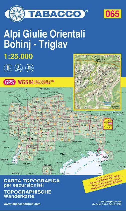
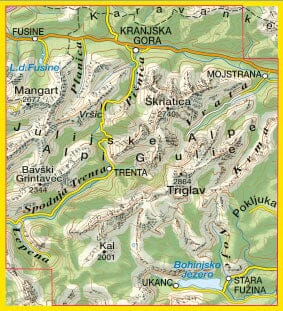
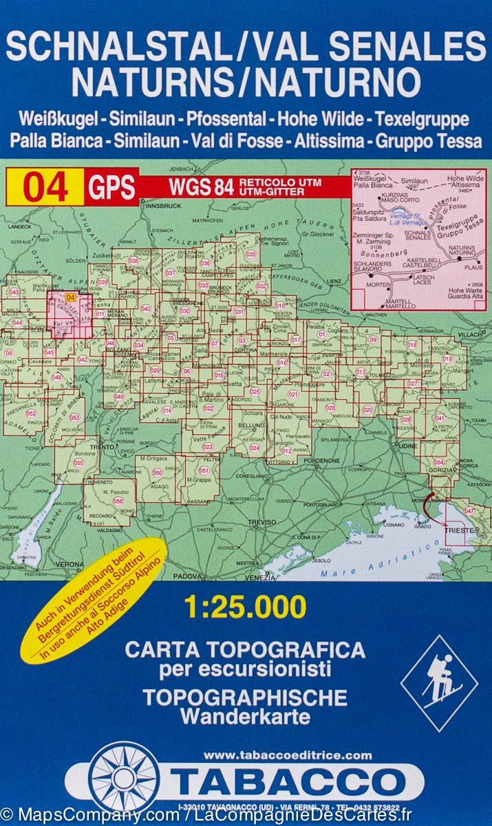
Hiking Map # 65 - Alpi Giulie Orientali, Bohinj, Triglav | Tabacco

Carte de randonnée n° 65 - Alpi Giulie Orientali - Bohinj - Triglav | Tabacco - La Compagnie des Cartes
Hiking Map # 65 - Alpi Giulie Orientali, Bohinj, Triglav | Tabacco
Carte de randonnée n° 65 - Alpi Giulie Orientali - Bohinj - Triglav | Tabacco - La Compagnie des Cartes

Hiking Map # 65 - Alpi Giulie Orientali, Bohinj, Triglav | Tabacco

Regular price $13.00
/
  • Shipping within 24 working hours from our warehouse in France
  • Delivery costs calculated instantly in the cart
  • Free returns (*)
  • Real-time inventory
  • In stock, ready to ship
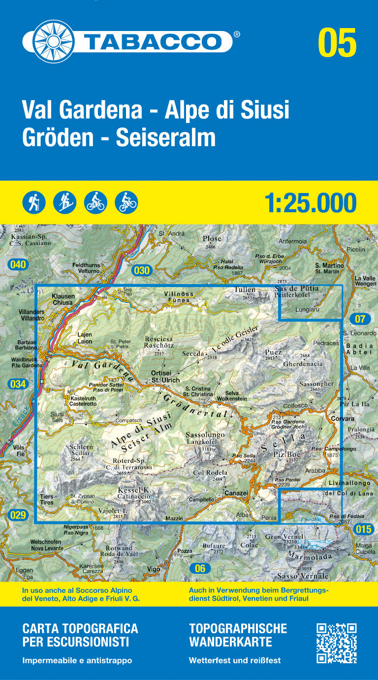
  • Inventory on the way
Tax included.

Topographic Map edited by Tabacco which covers the eastern part of the Julian Alps (north-east of Italy, Slovenia), the Bohinj Valley (Slovenia) and the culmination of this part of the Alps, the Triglav. Level curves spaced 25 meters.

Map protected by a laminated case. Scale 1/25 000 (1 cm = 250 m).


ISBN/EAN : 9788883151118
Publication date: 2020
Scale: 1/25,000 (1cm=250m)
Printed sides: front
Folded dimensions: 21 x 13 x 0.7cm
Unfolded dimensions: 114 x 100cm
Language(s): English, German, Italian
Poids : 90 g

Customer Reviews

Based on 1 review
100%
(1)
0%
(0)
0%
(0)
0%
(0)
0%
(0)
Y
Yuri L.
Good map Timely delivery As expecte...

Good map
Timely delivery
As expected