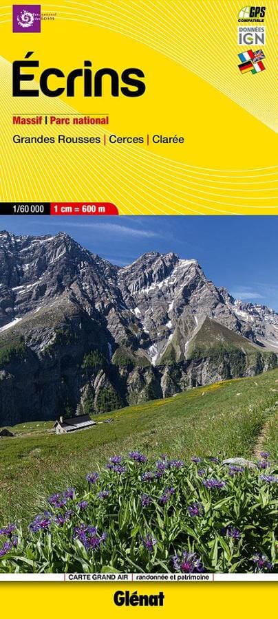
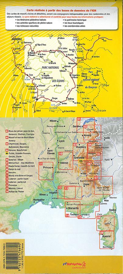
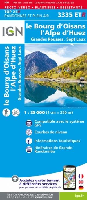
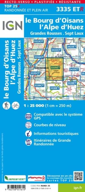
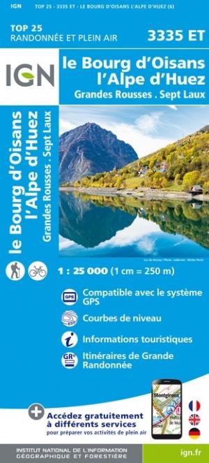
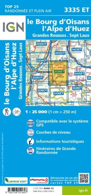
Hiking map # 5 - Massif des Écrins, Grandes Rousses, Cerces, Clarée | Didier Richard

Price
Regular price $18.00
Regular price Sale price $18.00
Save $-18
/
  • Shipping within 24 working hours from our warehouse in France
  • Delivery costs calculated instantly in the basket
  • Free returns (*)
  • Real-time inventory
  • In stock, ready to ship
  • Backordered, shipping soon
Tax included.

Often purchased together:

Hiking map covering the region of the Massif des Écrins, Grandes Rousses, Cerces, Clarée (Didier Richard editions).
- IGN data
- Signaling of all sports, cultural and tourist sites
- Indication of marked hiking trails
- Indication of natural resources, heritage and tourist sites
- Useful contact details.


ISBN/EAN : 9782344065129
Publication date: 2024
Scale: 1/60,000 (1cm=600m)
Printed sides: both sides
Folded dimensions: 11 x 25cm
Unfolded dimensions: 132 x 100cm
Language(s): French
Weight: 80 g

Customer Reviews

No reviews yet
0%
(0)
0%
(0)
0%
(0)
0%
(0)
0%
(0)