Carte géographique - Dalmatie & Istrie | Gizi Map carte pliée Gizi Map

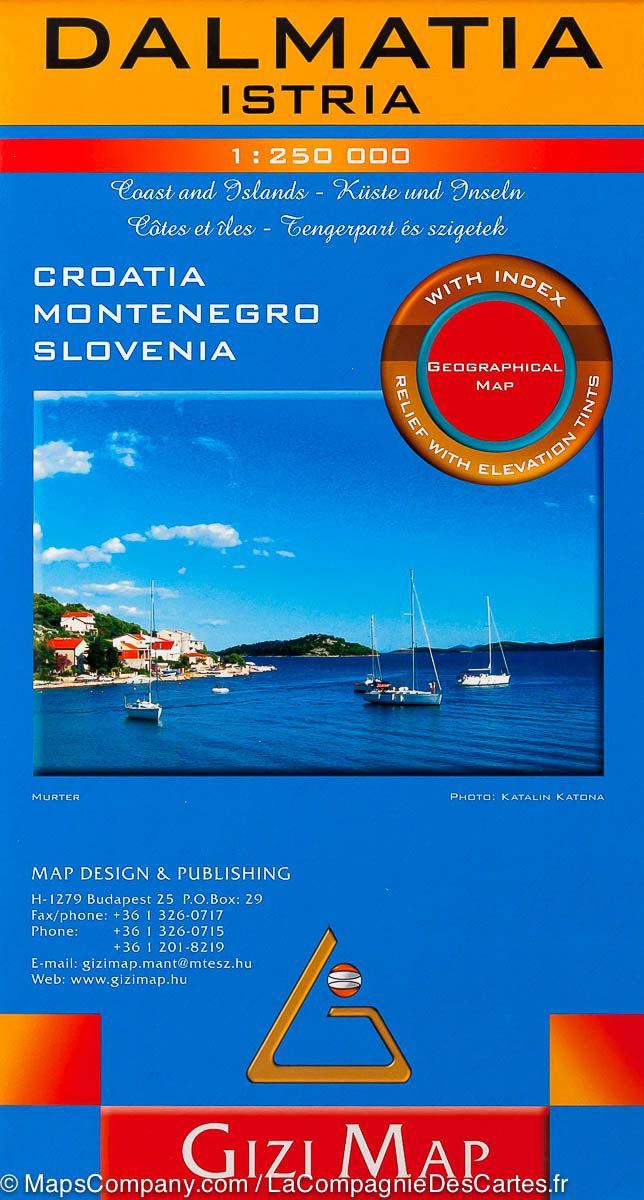
Geographical map - Dalmatia & Istria | Gizi Map

Geographical map - Dalmatia & Istria | Gizi Map

Regular price $16.00 Sale price $11.00 Save $5
/
  • Shipping within 24 working hours from our warehouse in France
  • Delivery costs calculated instantly in the basket
  • Free returns (*)
  • Real-time inventory
  • In stock, ready to ship
  • Backordered, shipping soon
Tax included.

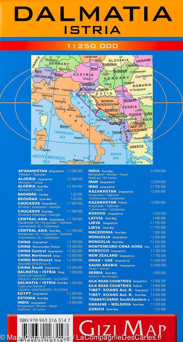
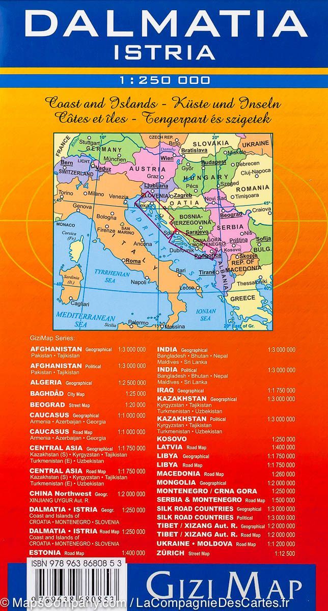
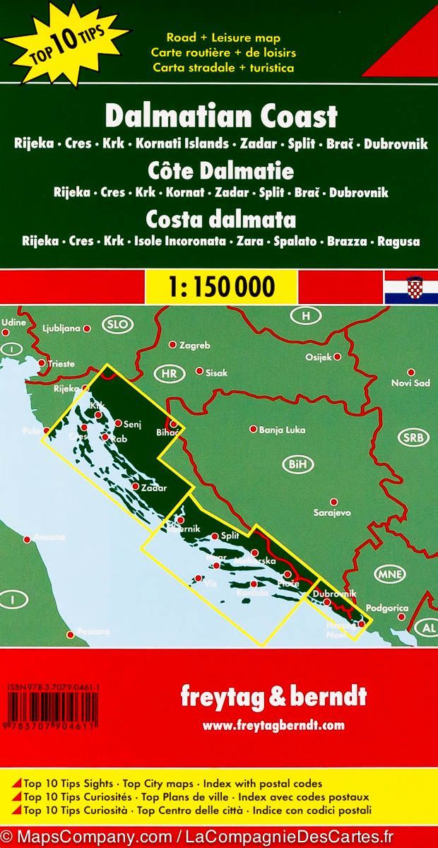
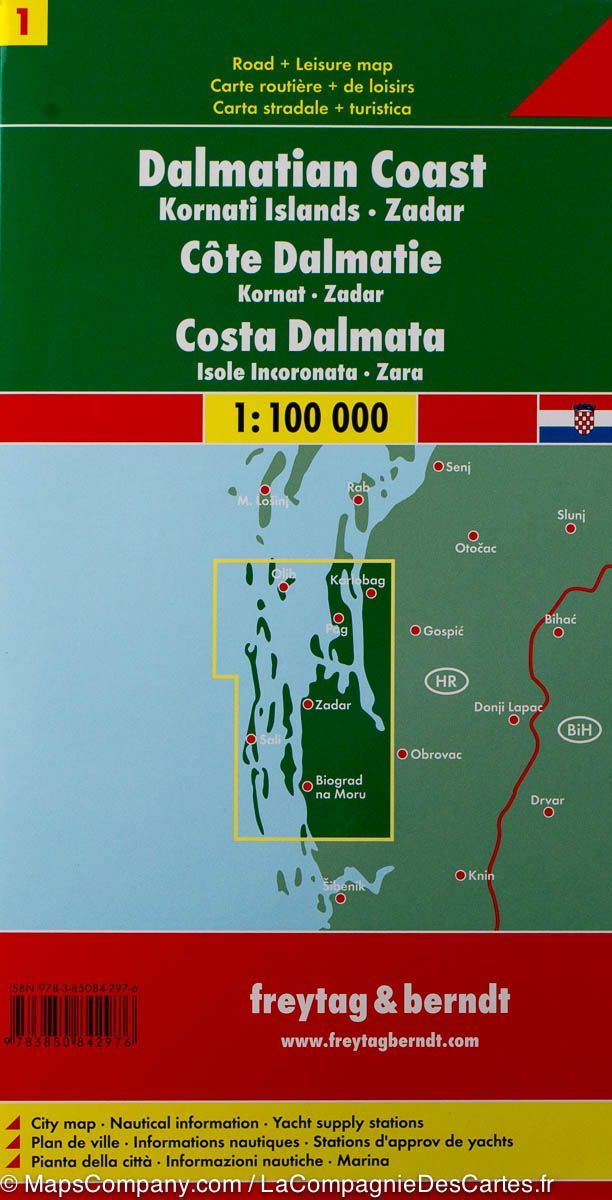
Detailed map of Dalmatia (Croatia, Montenegro) and Istria (coastal region that extends both on Italy, Slovenia and Croatia) edited by Gizi Map.

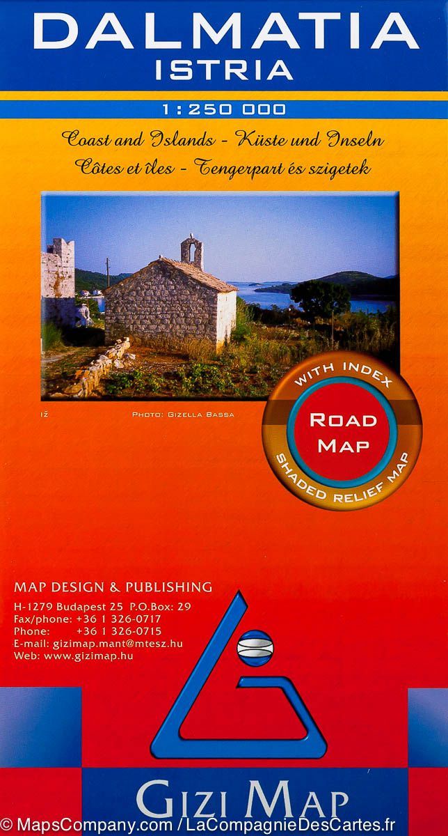
This Dalmatia and Istrian road map covers these two regions along the Adriatic Sea and includes a detailed map of the islands.

Detailed mapping of the relief and index of cities included.


ISBN/EAN : 9789632163147
Publication date: 2008
Scale: 1/250,000 (1cm=2.5km)
Printed sides: front
Folded dimensions: 24 x 13 x 1cm
Unfolded dimensions: 124 x 87cm
Language(s): multilingual (including French)
Poids : 132 g

Customer Reviews

No reviews yet
0%
(0)
0%
(0)
0%
(0)
0%
(0)
0%
(0)