Road map - Cornwall (England) | Freytag & Berndt

Price
Regular price $15.00
Regular price Sale price $15.00
Save $-15
/
  • Shipping within 24 working hours from our warehouse in France
  • Delivery costs calculated instantly in the basket
  • Free returns (*)
  • Real-time inventory
  • In stock, ready to ship
  • Backordered, shipping soon
Tax included.

Often purchased together:

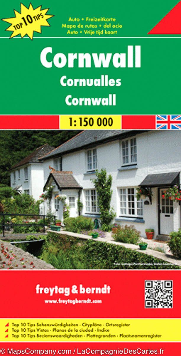
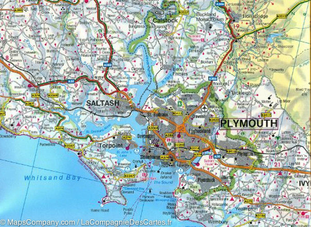
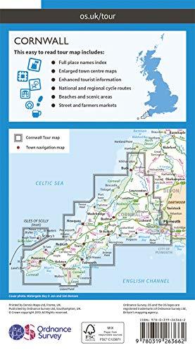
Cornwall Road map (England) published by Freytag & Amp Berndt. Scale 1: 150 000. Development of points of interest (sites to see, national parks ...). Relief mapping. The distances are shown on the map.

Cities index.

A booklet, attached to the map, gives brief descriptions of the 10 most important sites in the region. Plans from Truro, Newquay, Penzance, St. Austell, Falmouth, Plymouth.

Multilingual legend (French, English, German, Italian, Spanish ...).


ISBN/EAN : 9783707909579
Publication date: 2018
Scale: 1/150,000 (1cm=1.5km)
Printed sides: both sides
Folded dimensions: 26x13cm
Unfolded dimensions: 137 x 93cm
Language(s): multilingual including French
Poids : 89 g

Customer Reviews

Based on 12 reviews
100%
(12)
0%
(0)
0%
(0)
0%
(0)
0%
(0)
L
Lyderic M. (Grenoble, FR)
Très utile pour notre voayage à vélo

Service impeccable, super carte, notre meilleure alliée lors de ce voyage de 4 jours à vélo. Rien ne vaut le papier...

o
olivier V. (Limpiville, FR)
Carte Cornouailles

Carte très détaillée et de qualité
Je recommande car le rapport qualité/prix est excellent.
La livraison a été très rapide

y
yves J. (Rouen, FR)
Très bon produit

Excellent, site efficace!

j
jean m.D. (Ciboure, FR)

bon produit , site efficace

A
Anne P. (Paris, FR)
*****

Conforme à mes attentes