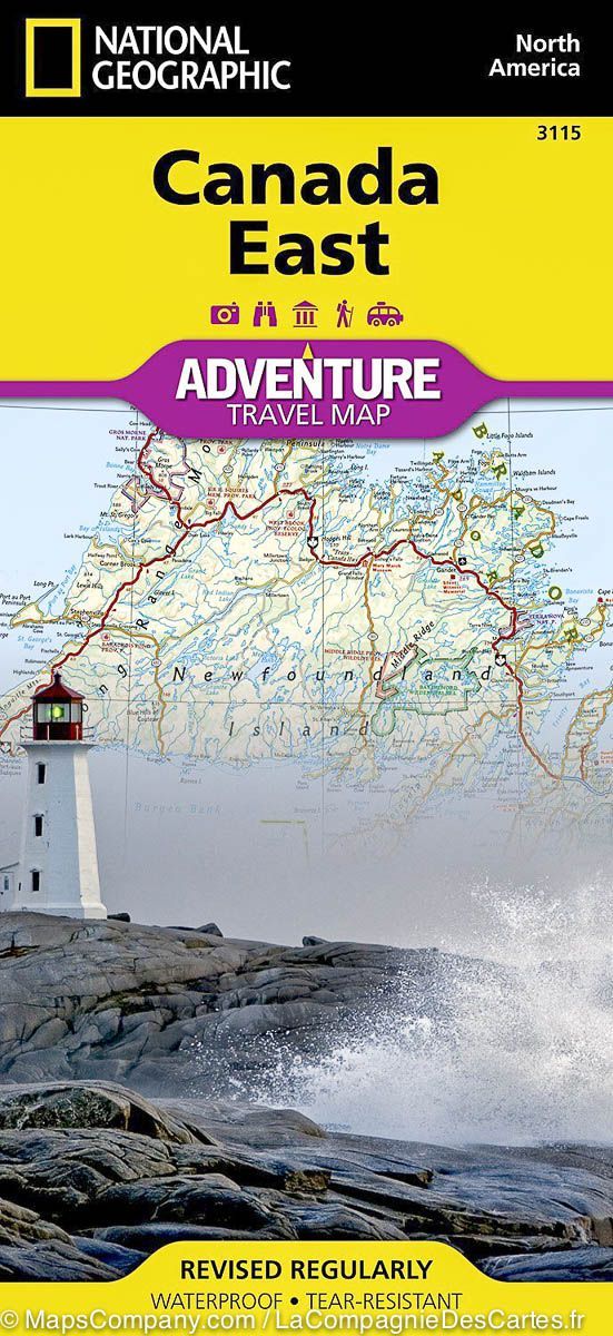
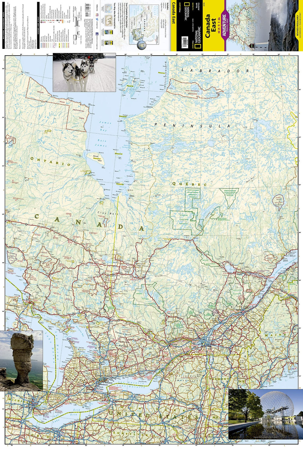
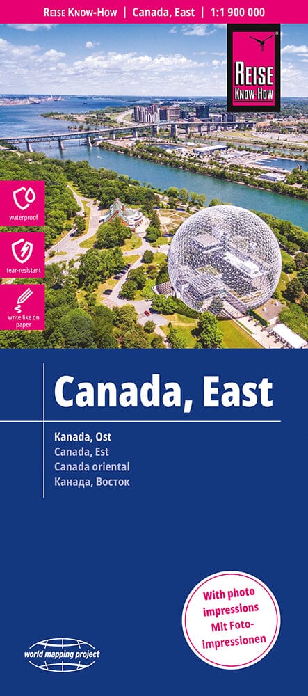
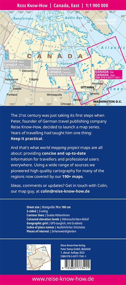
Central Canada Tourist map published by National Geographic. This map covers Quebec, the Atlantic Provinces (New Brunswick, Nova Scotia, Prince Edouard Island), Newfoundland and Labrador. Roads and protected areas (national parks, reserves ...) are indicated. Tourist attractions and photos also included. Cities index.
Detailed waterproof and tearing resistant.
Scale 1/2 100 000 (1 cm = 21 km).
ISBN/EAN : 9781566956376
Publication date: 2022
Scale: 1 / 2,100,000 (1cm = 21km)
Printed sides: both sides
Folded dimensions: 23.5 x 10.7 x 0.8cm
Unfolded dimensions: 100x70cm
Language(s): English
Weight:
89 g


