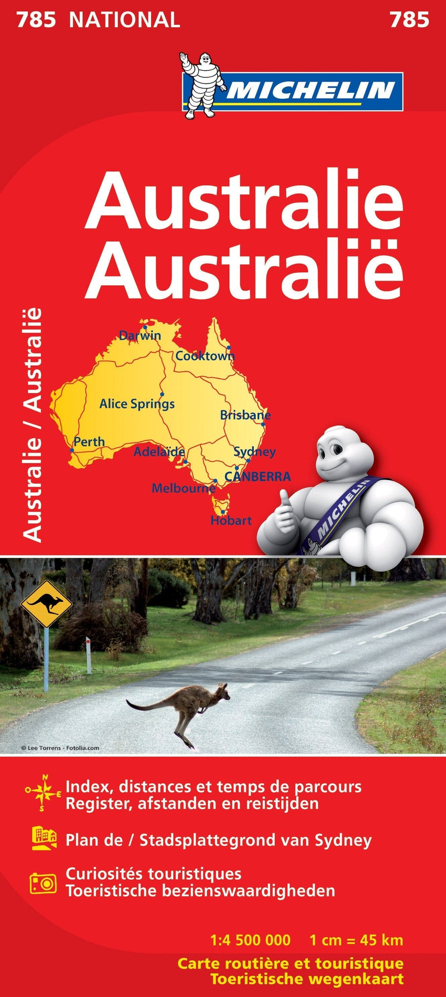
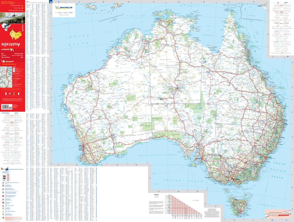
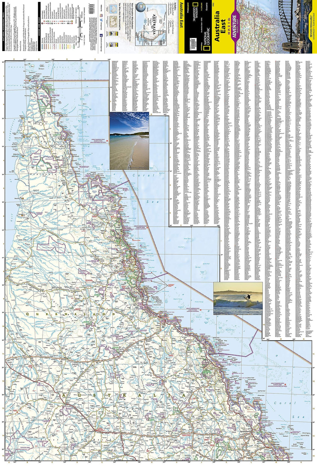
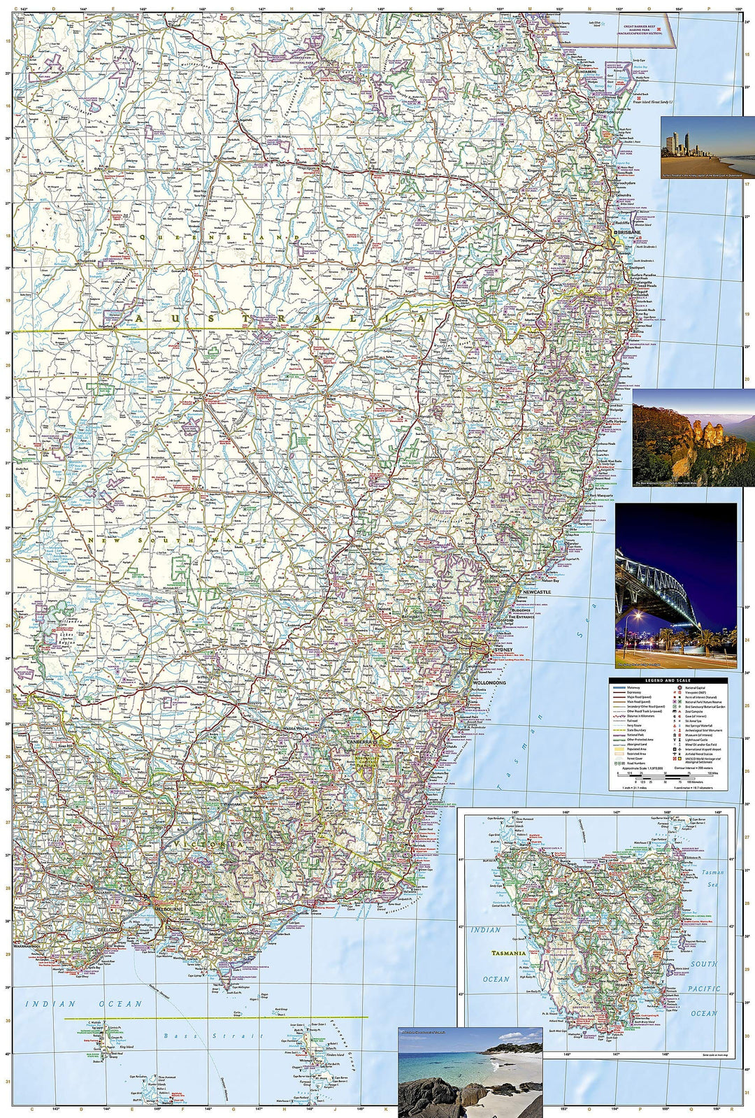
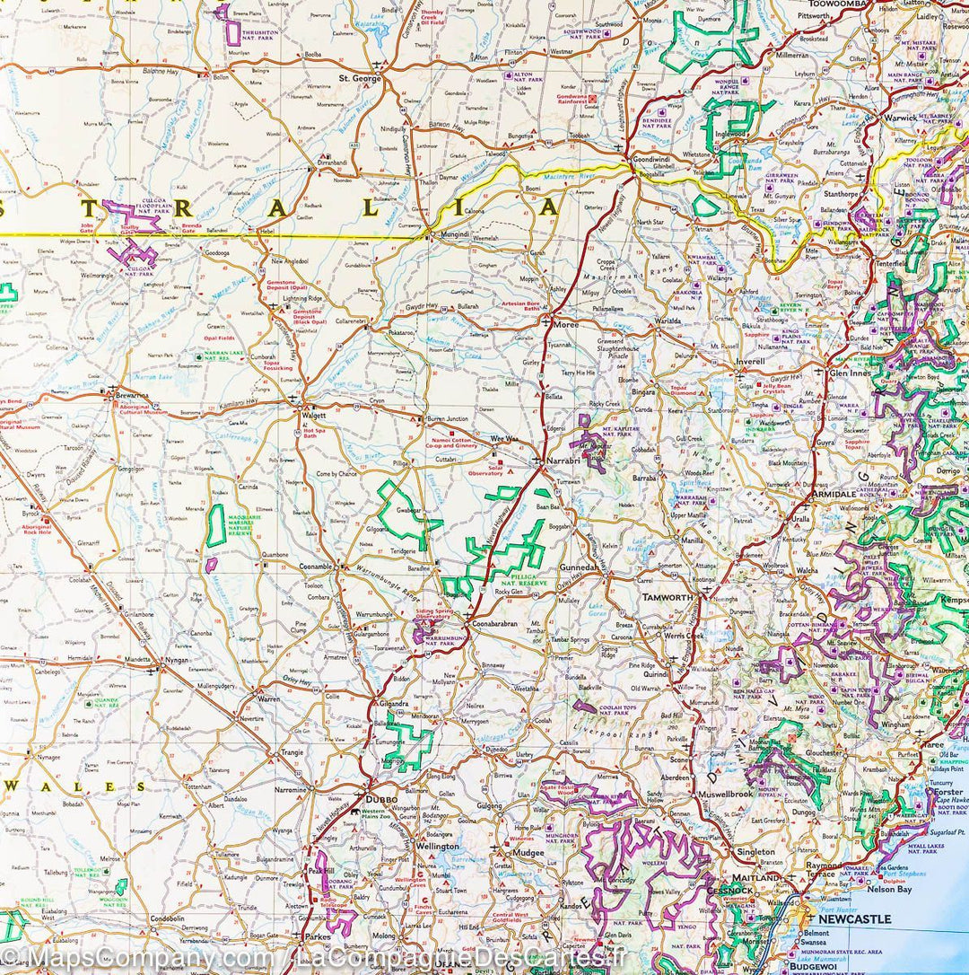
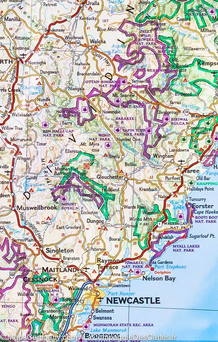
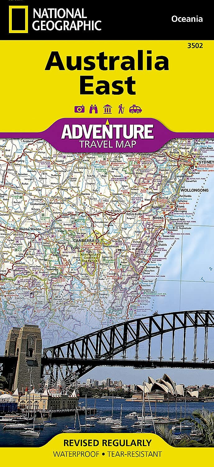
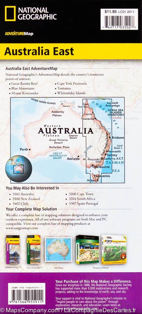
Carte routière - Australie Est | National Geographic carte pliée National Geographic
Carte routière de l'est de l'Australie | National Geographic - La Compagnie des Cartes
Carte routière - Australie Est | National Geographic carte pliée National Geographic
Carte routière de l'est de l'Australie | National Geographic - La Compagnie des Cartes

Road Map - Australia is | National Geographic

Road Map - Australia is | National Geographic

Regular price $18.00
/
  • Shipping within 24 working hours from our warehouse in France
  • Delivery costs calculated instantly in the basket
  • Free returns (*)
  • Real-time inventory
  • In stock, ready to ship
  • Backordered, shipping soon
Tax included.

Road Map of the eastern part of Australia published by National Geographic. Road Map ranging from Cap York Peninsula (north) to Melbourne and Tasmania (south) and to Wilcannia (west). Relief mapping, indications of tourist sites, protected areas and various outdoor activities possible. Indicated distances, photos and cities index included.

Detailed waterproof and tearing resistant.


ISBN/EAN : 9781566955911
Publication date: 2019
Scale: 1/1,970,000 (1cm=19.7km)
Printed sides: both sides
Folded dimensions: 23.3 x 10.8 x 0.7cm
Unfolded dimensions: 95x65cm
Language(s): English
Poids : 89 g

Customer Reviews

Based on 3 reviews
100%
(3)
0%
(0)
0%
(0)
0%
(0)
0%
(0)
A
AdL
Super pour organiser notre voyage ...

Super pour organiser notre voyage

T
Tom B.
This excellent map suited my needs ...

This excellent map suited my needs with good detail and was delivered promptly as promised.

M
Mr A.
Excellent road map that we were una...

Excellent road map that we were unable to find in Australia.