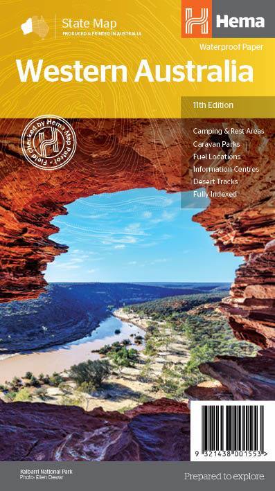
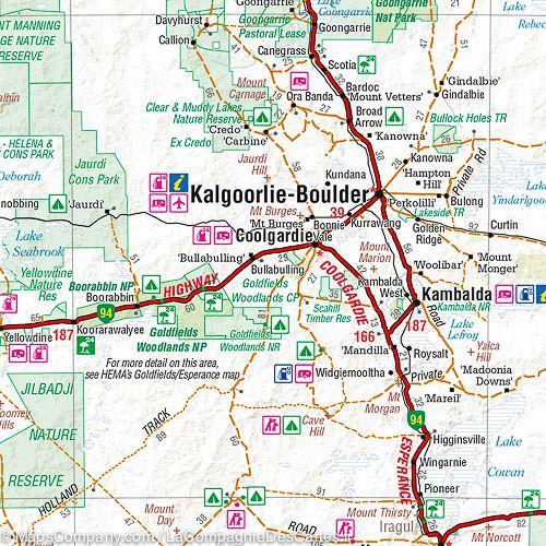
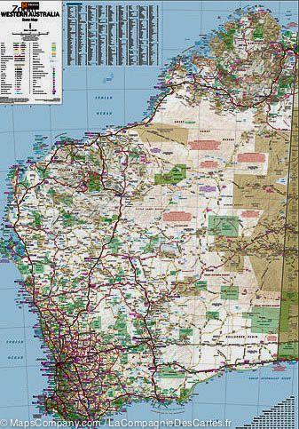
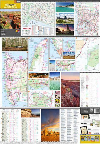
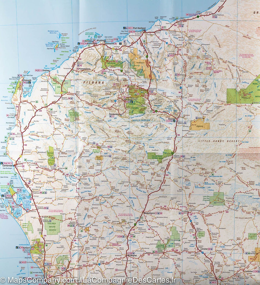
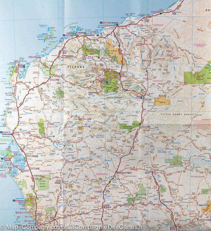
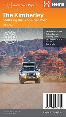
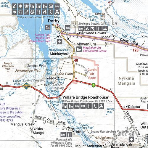
Western Australian Road map published by Hema Maps. Relief mapping, distances shown on the map, tourist information (national parks, accommodation, campgrounds, gas stations, distances table etc ...). On the back, a lot of information on the tourist curiosities of this region and plans of Perth and its agglomeration. Also included with this detailed map, several small maps including Leeuwin - Naturalist National Park, Cape Range National Park, Namgng National Park, François Peron National Park, Purnululu National Park, Walpole - Nornalup National Park and Karijini National Park.
Scale 1/2 500 000.
ISBN/EAN : 9321438001553
Publication date: 2019
Scale: 1/2,500,000 (1cm=25km)
Printed sides: both sides
Folded dimensions: 25 x 14 x 0.3cm
Unfolded dimensions: 100x70cm
Language(s): English
Weight:
89 g


