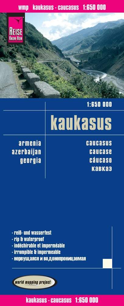
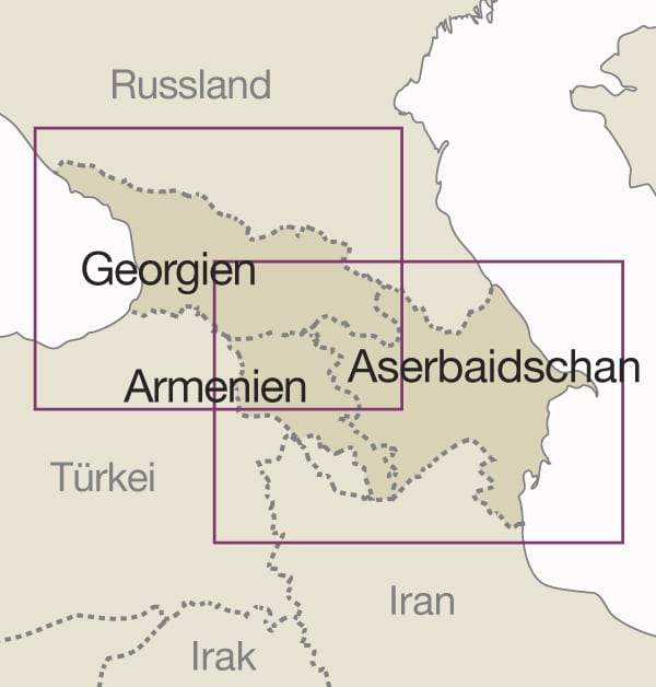
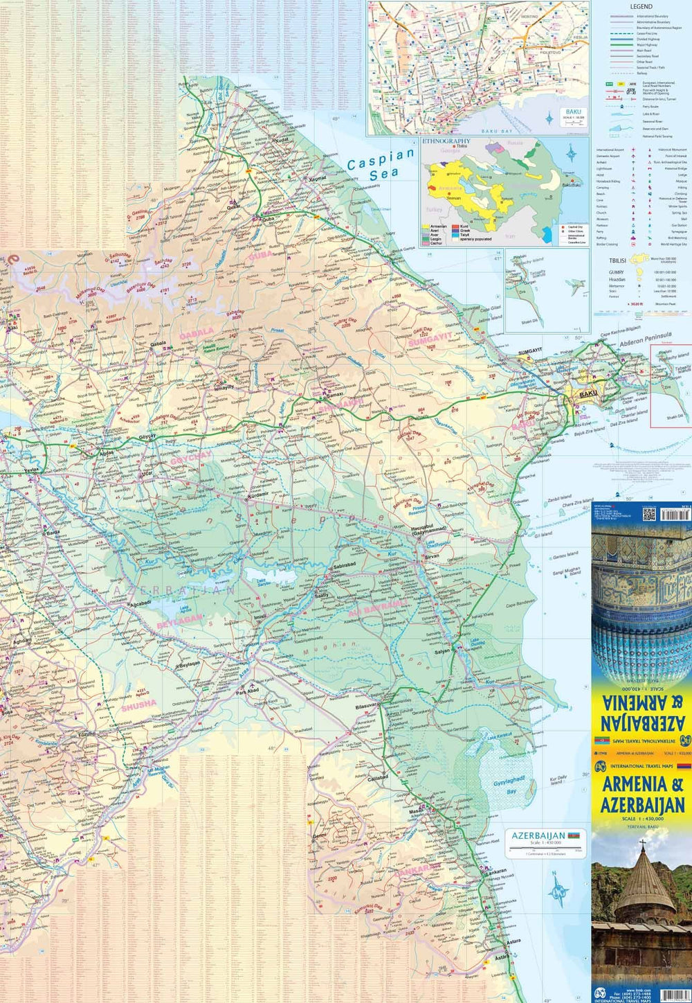
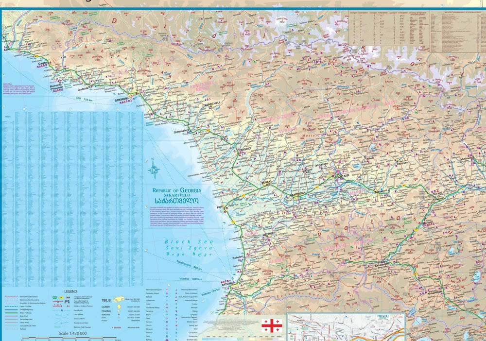
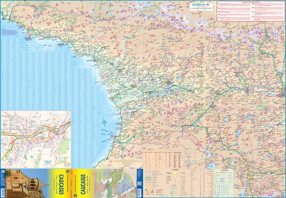
Armenia Road map published by Reise Know How. The topography of the land is indicated (many vertices, names of mountain ranges and passes). Salt lakes, marshes, seasonal streams and glaciers are also presented. The road network includes secondary roads and tracks, the road distances shown on the map. The administrative regions are presented with their limits and names. National parks and other protected areas are highlighted. A wide range of symbols mark the different points of interest. Index of cities included. GPS compatible map by longitude and latitude.
This detailed map of Armenia is indich and waterproof. Scale 1/250 000 (1 cm = 2.5 km).
ISBN/EAN : 9783831774814
Publication date: 2025
Scale: 1/250,000 (1cm=2.5km)
Printed sides: both sides
Folded dimensions: 26 x 11.5 x 0.8cm
Unfolded dimensions: 101 x 70cm
Language(s): French, German, English, Spanish, Russian
Weight:
84 g


