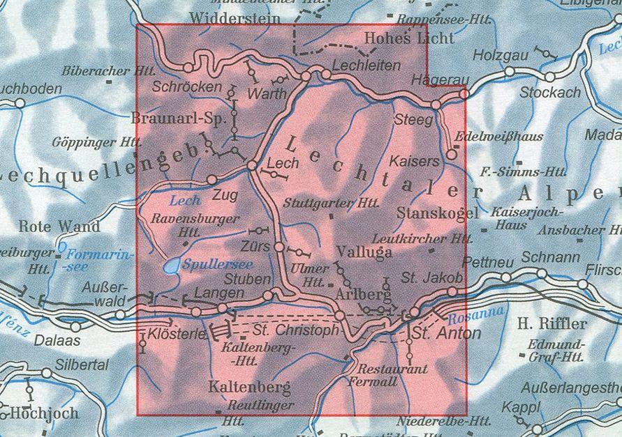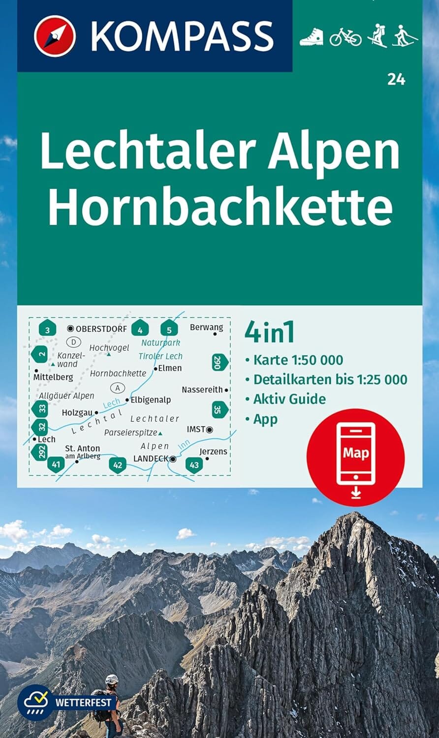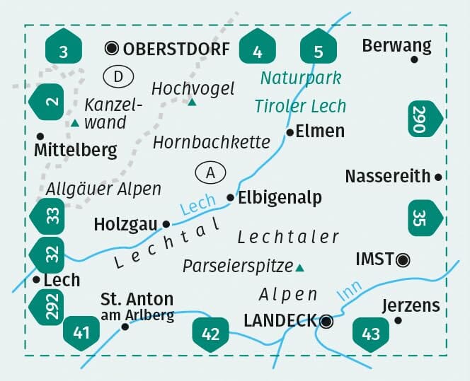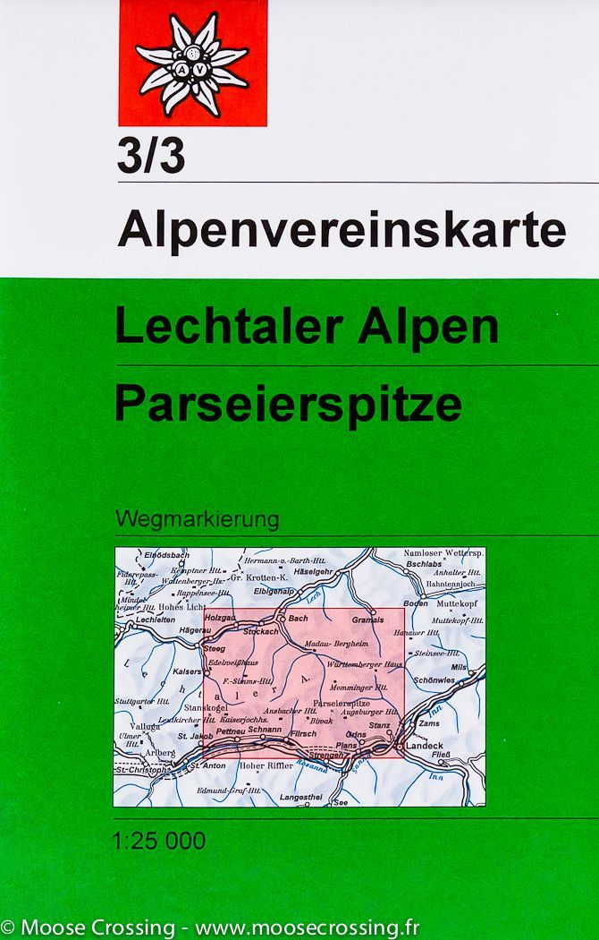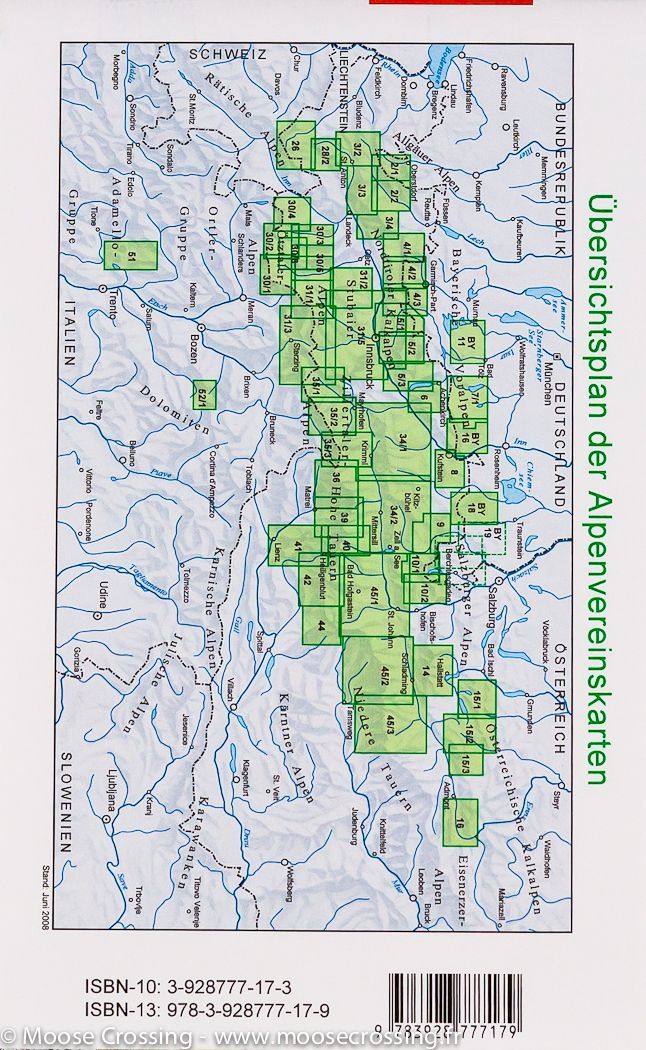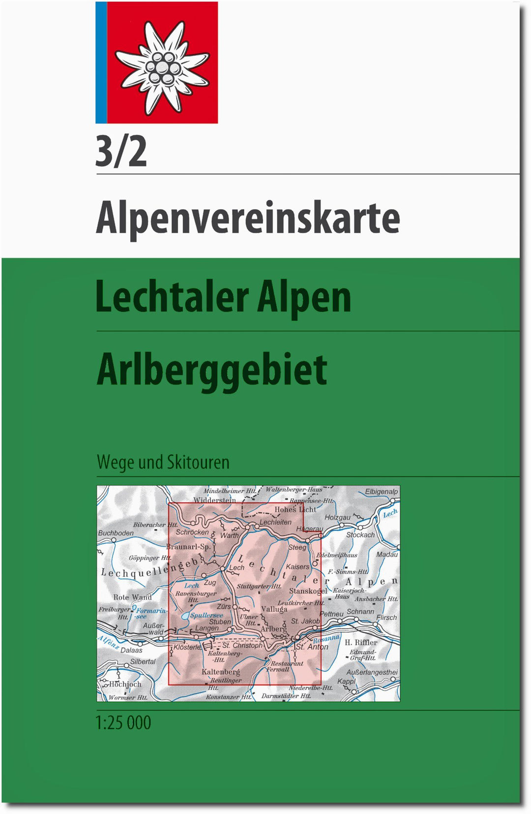

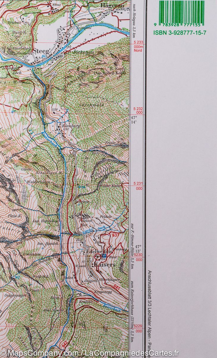

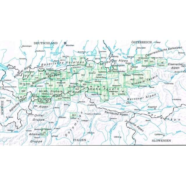
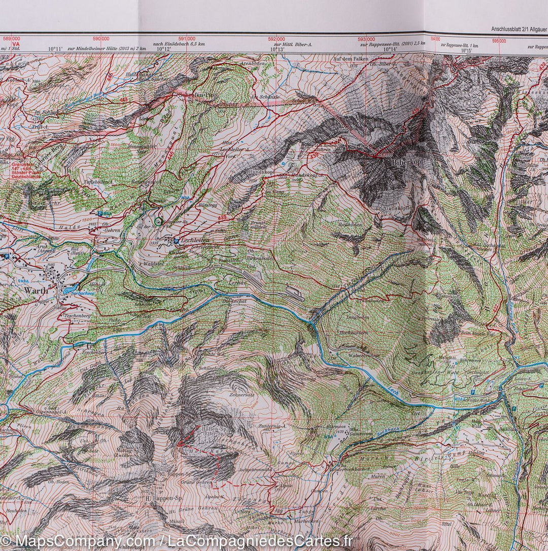
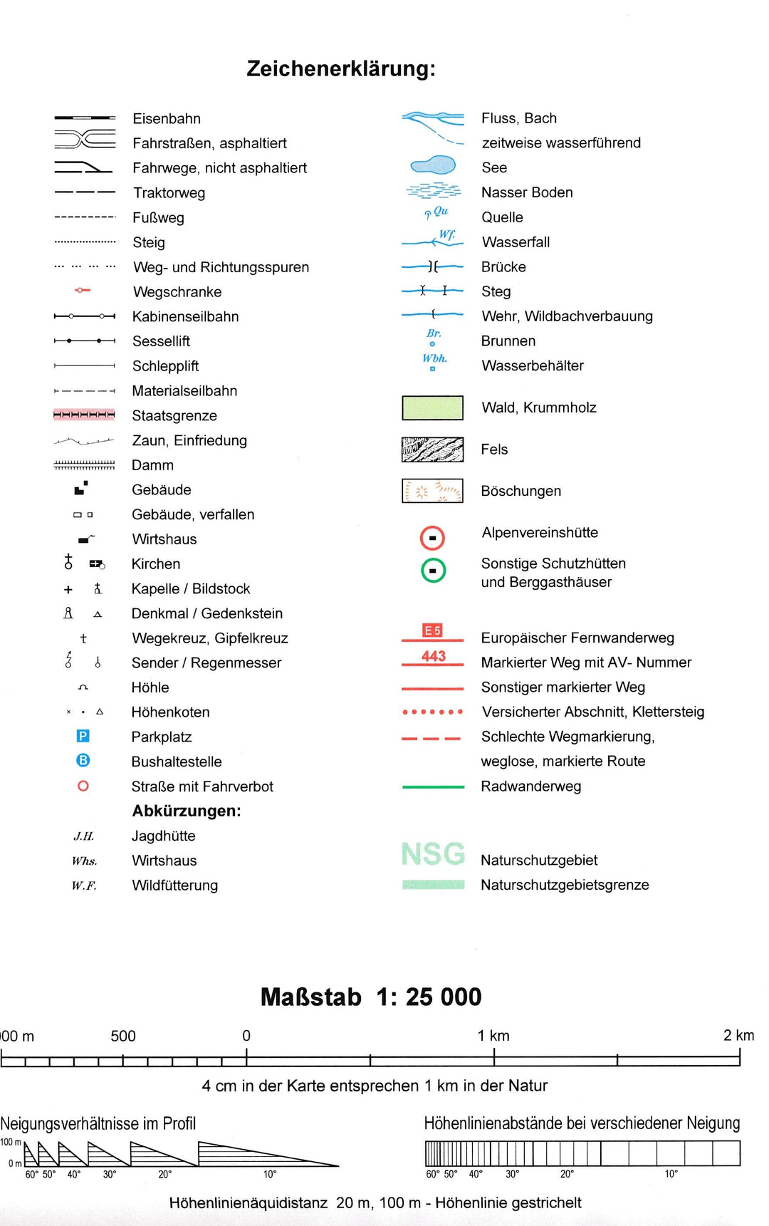


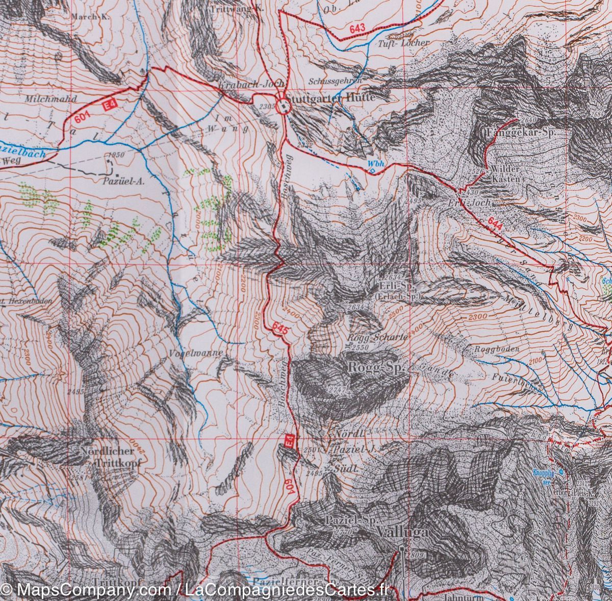


Hiking map No. 3/2 - Lechtal Alps - Arlberggebiet (Austrian Tyrol) | Alpenverein
Regular price
$15.00
Regular price
Sale price
$15.00
Save $-15
/
- Shipping within 24 working hours from our warehouse in France
- Delivery costs calculated instantly in the basket
- Free returns (*)
- Real-time inventory
- Low stock - 2 items left
Related geographic locations and collections: Alpenverein - Topographic maps of the Austrian Alps, Austria, Austrian Alps, Lechtal Alps, Tyrol