ISBN/EAN : 9783828308497
Publication date: 2015
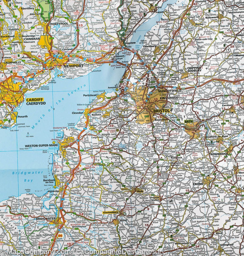
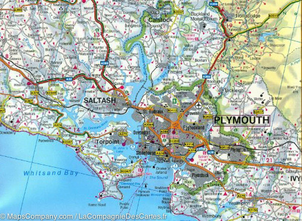
Scale: 1/300,000 (1cm=3km)
Printed sides: front
Folded dimensions: 25x13cm
Unfolded dimensions: 139 x 100cm
Language(s): Multilingual including French
Weight:
176 g
Real-time inventory & transparent shipping: See exact dispatch location for every item.
Over 19,000 maps, guides & travel decor in stock: From hiking trails to world globes!
19,000+ maps & guides: Hiking to globes!
Trusted since 2010: 300,000+ satisfied explorers and counting!
Since 2010: 300,000+ explorers served!
Live inventory & transparent shipping.
-
Travel maps
France - Atlas & General Maps France - General travel guides Auvergne-Rhône-Alpes Burgundy-Franche-Comté Brittany Centre-Val de Loire Corsica Great East Hauts-de-France Ile-de-France Normandy New Aquitaine Pays de la Loire Occitania Provence-Alpes-Côte d'Azur ParisBalkans Western Europe Central Europe Eastern Europe Northern Europe (including Scandinavia) Baltic StatesArgentina Bolivia Brazil Chile Colombia Ecuador Guyana French Guiana Paraguay Patagonia Peru Suriname Uruguay Venezuela -
Hiking
-
Travel accessories
Your cart is currently empty.
We accept
© 2025
La Compagnie des Cartes - Le voyage et la randonnée
General terms and conditions of salePrivacyRequest for access to personal data


