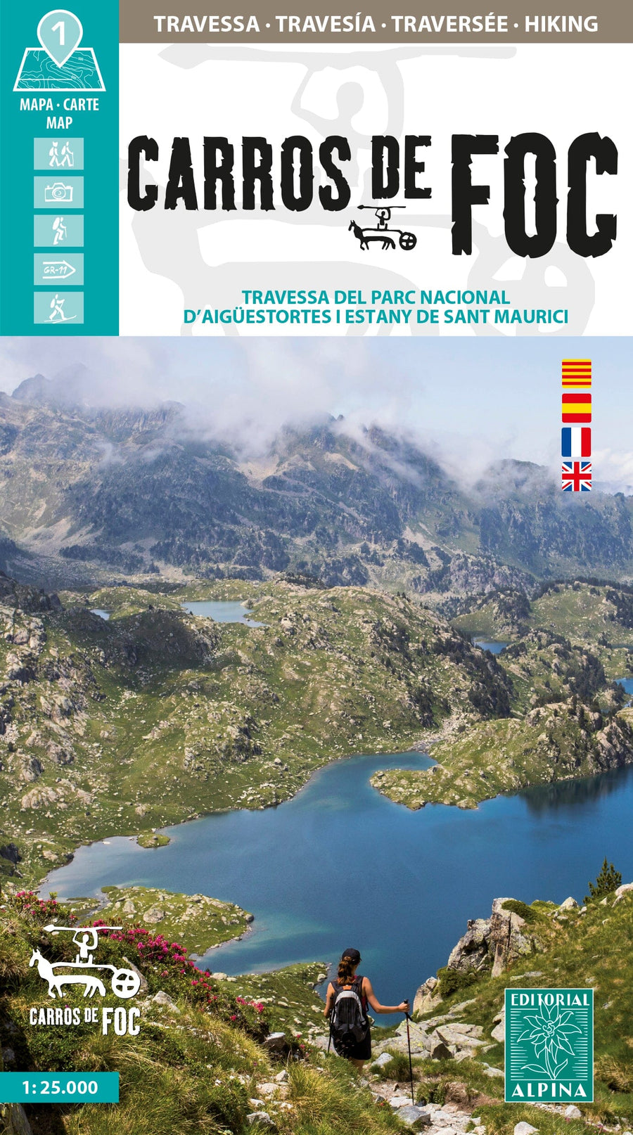
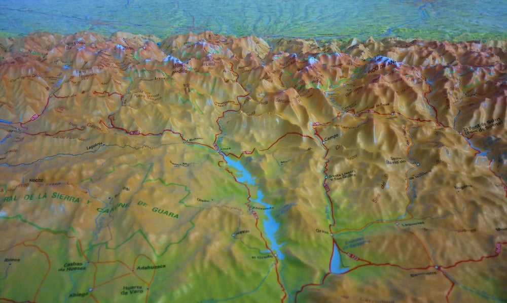
Carte de randonnée - Carros de Foc, Traversée du Parc national d'Aigüestortes & Lac de Sant Maurice (Pyrénées catalanes) | Alpina carte pliée Editorial Alpina

Hiking Map - BACK CARROS, Crossing of Aigüestorte National Park & ​​Lake Sant Mauritius (Catalan Pyrenees) | Alpina

Hiking Map - BACK CARROS, Crossing of Aigüestorte National Park & ​​Lake Sant Mauritius (Catalan Pyrenees) | Alpina

Regular price $17.00
/
  • Shipping within 24 working hours from our warehouse in France
  • Delivery costs calculated instantly in the basket
  • Free returns (*)
  • Real-time inventory
  • In stock, ready to ship
  • Backordered, shipping soon
Tax included.
The Pallars, Alta Ribagorça and Vall Aran are among the most beautiful parts of the Pyrenees and constitute the National Park of Aigüestortes and Lake Sant Mauritius.
The discovery of these landscapes has always been one of the Objectives of the majority of mountaineers.
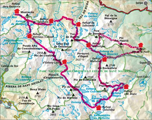
Maybe that's why, in the area, shelters appeared with the idea of ​​facilitating climbs and crossings. Over time, these shelters are now part of the landscape. Thus, we can now find a total of nine shelters that cross the region by making different combinations of itineraries.
To realize the classic route Carros of Foc, we will need between 5 and 7 days.

- Relief shaded and curved
- Petite and hiking trails
- Gites, refuges and bivouacs
- Roads, Tracks and Parking
- Compatible GPS
- 40-page guide with tourist information


ISBN/EAN : 9788470110993
Publication date: 2024
Scale: 1/25,000 (1cm=250m)
Printed sides: front
Folded dimensions: 21 x 12.5cm
Unfolded dimensions: 98 x 68cm
Language(s): French, English, Castilian, Catalan
Poids : 170 g

Customer Reviews

Based on 6 reviews
83%
(5)
17%
(1)
0%
(0)
0%
(0)
0%
(0)
F
FRANCOIS C.
Encantas

Carte de qualité avec détails pour les refuges et dénivelés et temps estimés entre deux refuges

P
Piet M. (Harelbeke, BE)
levering zoals verwacht!

Kaart is wat we zochten.

L
LAURE P.G. (Paris, FR)
Parfait

Tout à fait conforme à mon attente

l
laurence d. (Bourg-les-Valence, FR)
très bien

mais c'est dommage que n'ai pas un peu plus de cartes autour du treck, notamment on ne voit pas comment accéder au départ en voiture .

F
Fabrice G. (Braine-le-Comte, BE)

Bon produit, merci.