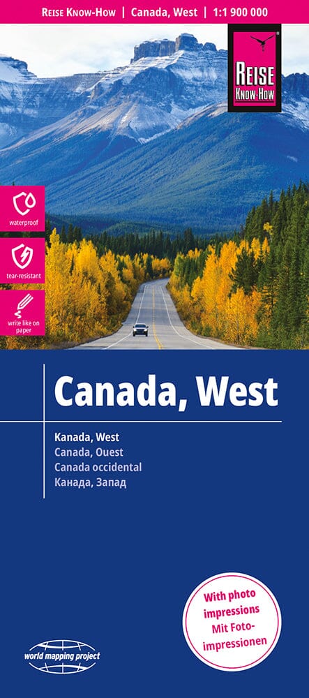
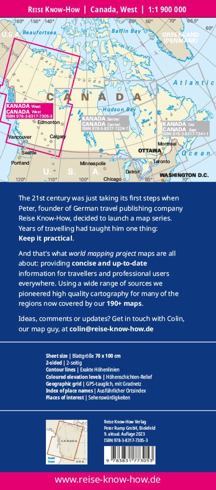
Carte routière de la Colombie-Britannique | Canadian Cartographics Corporation carte pliée Canadian Cartographics Corporation

British Columbia Road Map | Canadian Cartographics Corporation

Price
Regular price $10.00
Regular price Sale price $10.00
Save $-10
/
  • Shipping within 48 business hours from our warehouse in the USA. For this product, customs fees may be requested by the carrier upon delivery.
  • Delivery costs calculated instantly in the basket
  • Free returns (*)
  • Real-time inventory
  • In stock, ready to ship
  • Backordered, shipping soon
Tax included.

Often purchased together:

The latest edition of MapArt offers unbeatable accuracy and reliability at a great price. Detailed indexes allow for quick and easy destination location. This is a must-have for anyone traveling in British Columbia. Includes regional maps of: Campbell River, Cranbrook, Dawson Creek, Fort St. John, Fraser Valley, Greater Victoria, Kamloops, Kelowna, Kitimat, Nanaimo, Penticton, Port Alberni, Powell River, Prince George, Prince Rupert, Smithers, Terrace, Vernon, Whistler, and Williams Lake. Features of: Detailed provincial map of British Columbia, Yukon/Northwest Territories/Nunavut map, Regional maps, National Parks, Historic sites, Alpine skiing, and much more!


ISBN/EAN : 9781554862887
Publication date: 2024
Folded dimensions: 9.25 x 4.33 inches / 23.5 x 11cm
Unfolded dimensions: 39.17 x 26.97 inches / 99.5 x 68.5cm
Language(s): English
Weight: 1.8 oz

Customer Reviews

Be the first to write a review
0%
(0)
0%
(0)
0%
(0)
0%
(0)
0%
(0)