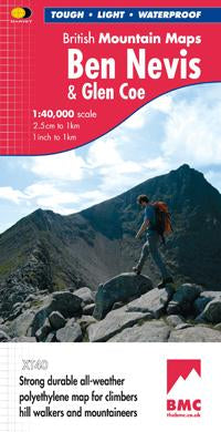
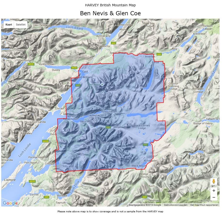
Hiking map - Ben Nevis & Glen Coe XT40 BMM | Harvey Maps - British Mountain

Price
Regular price $31.00
Regular price Sale price $31.00
Save $-31
/
  • Shipping within 24 working hours from our warehouse in France
  • Delivery costs calculated instantly in the basket
  • Free returns (*)
  • Real-time inventory
  • In stock, ready to ship
  • Backordered, shipping soon
Tax included.

Often purchased together:

Special Map Hiking in the Great Brittany Mountains published by Harvey Maps.
Original description of the publisher:

Detailed Map for Hillwalkers and Climbers of Ben Nevis and Glen Coe
Section on Navigation On Ben Nevis and Detailed 1: 15,000 Enlargement of the Summit with Bad Visibility Descent Road.
The Map Area includes 44 Munros, 14 Corbetts and 9 Grahams.
Tough, Light, Durable and 100% Waterproof


ISBN/EAN : 9781851374434
Publication date: 2011
Scale: 1/40,000 (1cm=400m)
Printed sides: both sides
Folded dimensions: 12.3 x 23.6cm
Unfolded dimensions: 94.4 x 98.4cm
Language(s): English
Weight: 70 g

Customer Reviews

No reviews yet
0%
(0)
0%
(0)
0%
(0)
0%
(0)
0%
(0)