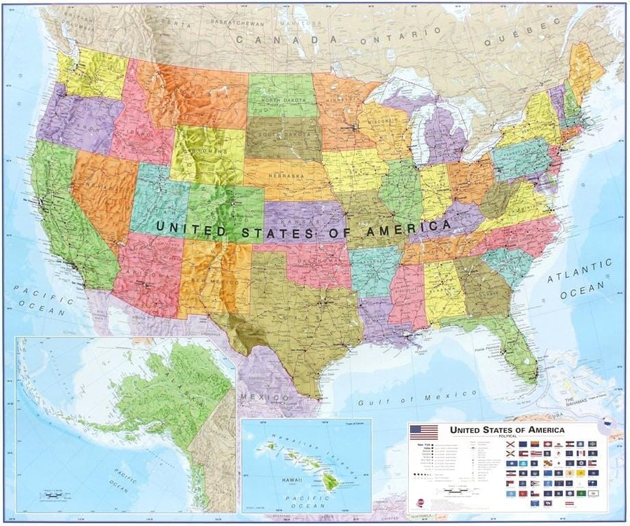
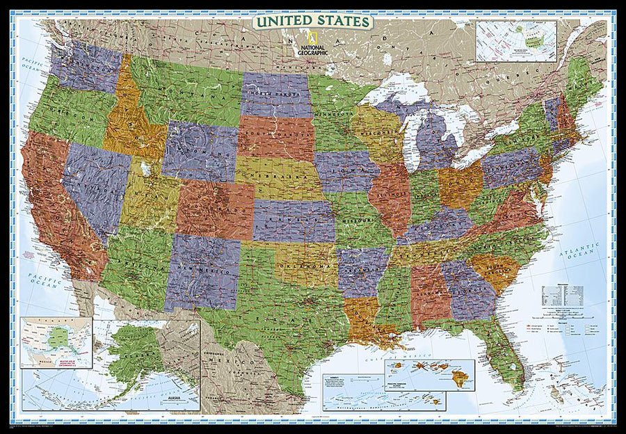
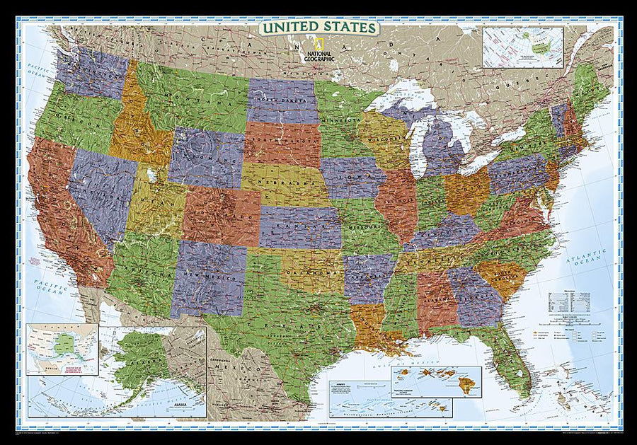
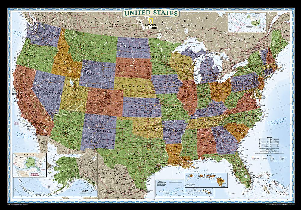
![Battles of the Revolutionary War and War of 1812: 2 sided [Tubed] | National Geographic carte pliée](http://mapscompany.com/cdn/shop/products/batailles-de-la-guerre-dindependance-et-de-la-guerre-de-1812-recto-verso-en-tube-national-geographic-carte-pliee-national-geographic-237494.jpg?v=1694454312&width=1080)
Battles of the Revolutionary War and the War of 1812, double-sided, in tube | National Geographic
Regular price
$29.00
Regular price
Sale price
$29.00
Save $-29
/
- Shipping within 48 business hours from our warehouse in the USA. For this product, customs fees may be requested by the carrier upon delivery.
- Delivery costs calculated instantly in the basket
- Free returns (*)
- Real-time inventory
Related geographic locations and collections:
![Battles of the Revolutionary War and War of 1812: 2 sided [Tubed] | National Geographic carte pliée](http://mapscompany.com/cdn/shop/products/batailles-de-la-guerre-dindependance-et-de-la-guerre-de-1812-recto-verso-en-tube-national-geographic-carte-pliee-national-geographic-237494.jpg?v=1694454312&width=900)