Road map - Western Australia: Southwest | Hema Maps

Price
Regular price $15.00
Regular price Sale price $15.00
Save $-15
/
  • Shipping within 24 working hours from our warehouse in France
  • Delivery costs calculated instantly in the basket
  • Free returns (*)
  • Real-time inventory
  • In stock, ready to ship
  • Backordered, shipping soon
Tax included.

Often purchased together:

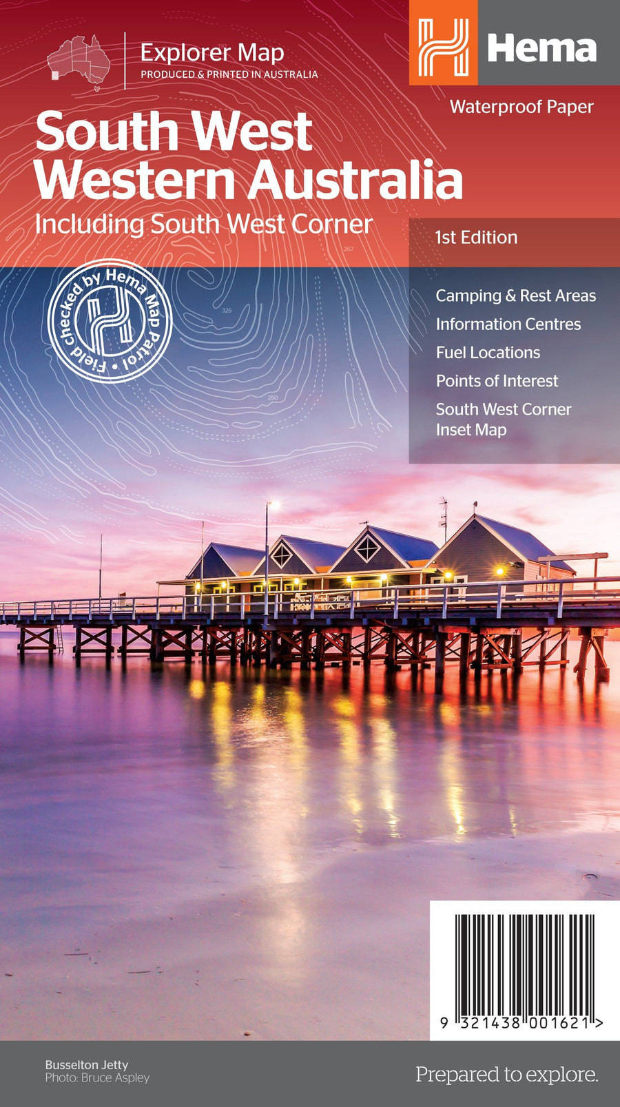
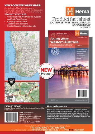
Regional map to discover southwestern Western Australia.

On the back, detailed inserts of Nambung National Park, Avon Valley National Park, the Lane Poole Reserve, from the southwestern corner, Stirling National Park, Entrecastreaux National Park and Albany Coast.

Tourist information on the coral coast, Perth, the Avon Valley, the Greater South Region, Peel, the Blackwood River Valley, the South Forests, the Margaret River area and the South Coast.


ISBN/EAN : 9321438001621
Publication date: 2019
Scale: 1/750,000 (1cm=7.5km
Printed sides: both sides
Folded dimensions: 25x14cm
Unfolded dimensions: 75x55cm
Language(s): English
Weight: 82 g

Customer Reviews

Based on 2 reviews
100%
(2)
0%
(0)
0%
(0)
0%
(0)
0%
(0)
C
Christiane L. (Rabastens, FR)
Très bien.

Carte qui correspond tout à fait à ce que j'attendais, avec un zoom sur la partie Bunbury- Pemberton, pour laquelle je manquais de détails.
ravie de mon achat.

n
nelly l. (Plaisir, FR)
grande variété de carte pour tous les pays et rapidité d'envoi

?